Tramping to a mountain eyrie- Mt Fyffe, Kaikoura
Kathryn, the kids and I were in Kaikoura for a couple of days in the last week of the school holidays. Kaikoura is a small tourist town about 2 hours north of Christchurch and is famous for whale,seal and albatross watching. It also has some of the best diving in New Zealand along its wild, rocky coastline... there is a lot to see and do there.
While we were there I planned a day tramp up Mt Fyffe, a nearby peak. It seemed like a good opportunity to go tramping in an area I seldom visit. Unfortunately a spell of bad weather meant I never made it to the summit,
more about that later...
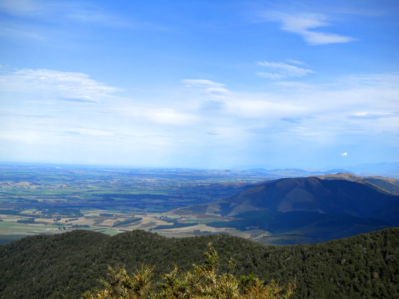
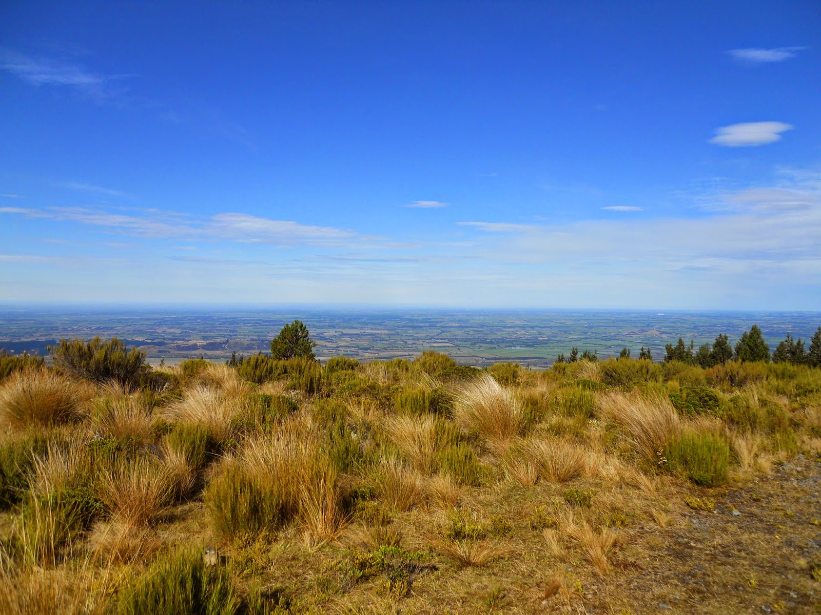
 |
| Kaikoura Peninsula from high on Mt Fyffe Track |
Heading up Mt Fyffe...into "Storm-ageddon '15"
The Seaward Kaikoura's are big mountains...many are above 1600 metres with a few as high as 2600. In places the flat coastal strip is less than a kilometre wide so the juxtaposition of the two is stark.These mountains literally fall straight into the sea...
Mt Fyffe is clearly visible from Kaikoura Township, the summit sits at 1600 meters with a 8 bunk DOC hut on a ridge slightly lower down.
 |
| Panorama view of Fire-pool Flat and Homestead Spur |
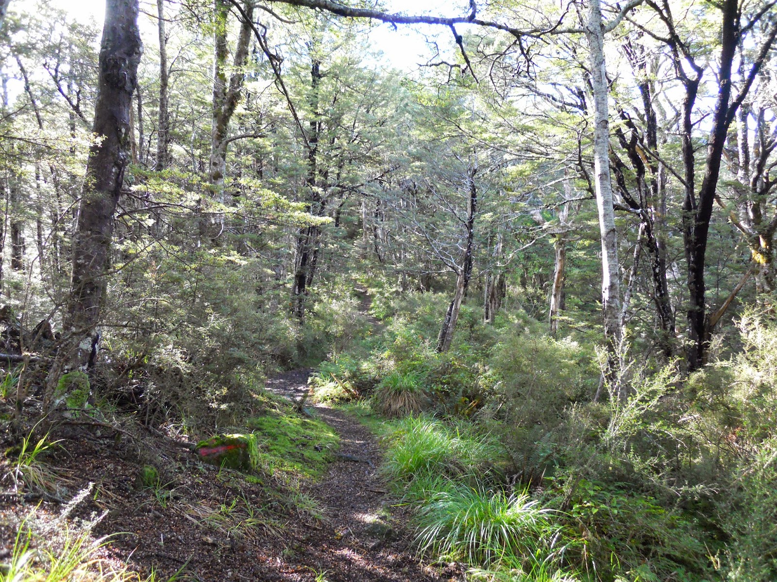
The Mt Fyffe Track is actually a 4 W/D access road leading from near the Kowhai River to the summit. You follow this track for the duration of the trip, it is steep but easy walking. It takes 2-3 hours walking to reach Fyffe Hut, another hour from there to the summit.
I've been to the hut before but not right to the summit of Mt Fyffe.
 |
| The Seaward Kaikoura's in mid 2016 as seen from Kaikoura Township |
We had rain overnight but when I set off the conditions were ok; calm, blue skies, no wind, warm etc. There was new fresh snow (the first snow of 2015, unseasonably early) on most of the higher peaks in the area. I heard over the radio that there was heavy rain, snow and wind in Christchurch that same morning so I knew I had at least a couple of hours before it reached Kaikoura.
 |
| Mt Fyffe car park...no one is home! |
I set off for Mt Fyffe Hut anyway as I believed I could reach it before the storm arrived, with the plan to turn back if the conditions deteriorated.
The Mt Fyffe car-park has a toilet, picnic tables and some areas where you could set up a tent to camp overnight, no water however so you would need to bring it with you.
 |
| DOC track sign for Mt Fyffe area |
 |
| Mt Fyffe map, red cross marks highest point reached |
The track starts climbing right from the start and doesn't let up until you reach the hut about 4 kilometres away after climbing 1100 metres. There are a number of other tracks starting at the same point including the short Hinau Track, Kowhai Hut and the Kowhai-Hapuku route via the Kowhai River gorge.
Here is more information about the Mt Fyffe track network.
 |
| Locked gate at start of 4 W/D track up Mt Fyffe |
The turn off for the hour long Hinau Track starts 5 minutes up the Mt Fyffe access road.
 |
| Mt Fyffe: turn off for Hinau Track |
The views are spectacular and just get better as you climb up the long spur the road sits on.
 |
| First view of Kaikoura plains from Mt Fyffe |
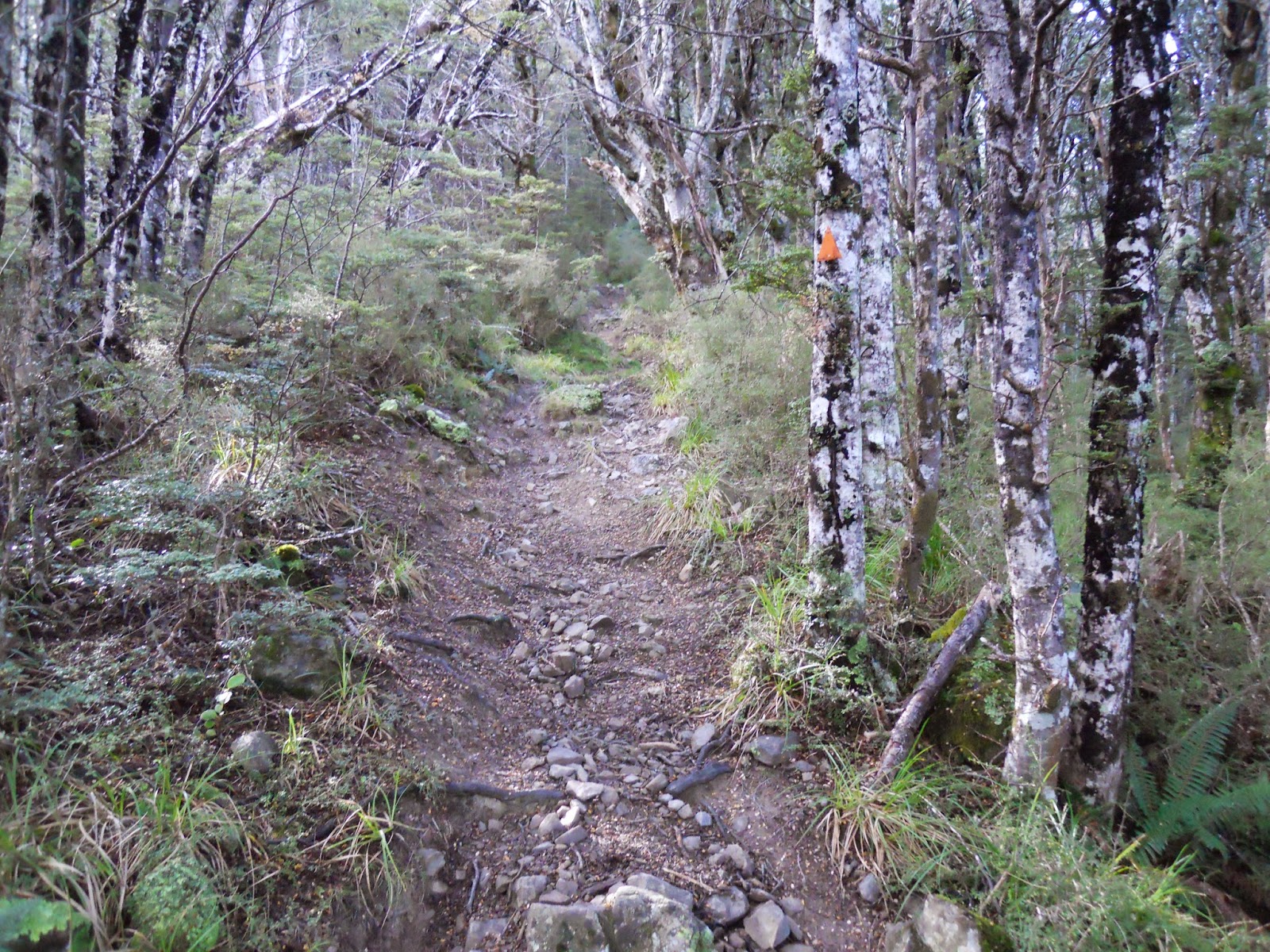
The condition of the track basically stays the same the whole way up the track, steep gravel. I understand this is a popular trip for the MTB folks but it would be a brutal climb: its hard enough walking let alone riding. Awesome on the way down though!
 |
| Mt Fyffe access road/track |
You can just see the weather approaching from the south west in this photo, it is still more than an hour away.
 |
| View S-East towards Waiau-Kaikoura Valley from Mt Fyffe |
 |
| First view of Kaikoura Peninsula from Mt Fyffe |
 |
| Storm approaching Mt Fyffe from south-west |
 |
| Northern end of Kaikoura Plain from Mt Fyffe |
 |
| Another storm making its way up the Kaikoura Coast |
About 40 minutes up the track there is a nice resting spot with some good views out to the Kaikoura Plains. A good place to stop for a drink and a snack in the sun.
 |
| View rest area 40 minutes up the Mt Fyffe Track |
 |
| Close up of Kaikoura Peninsula |
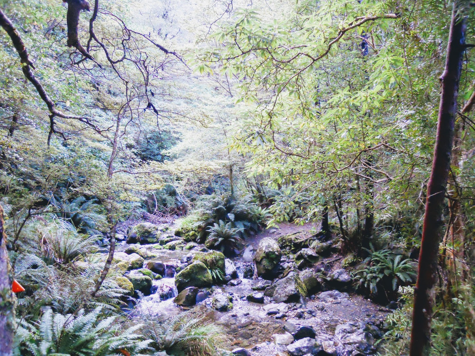
After an hour you reach a flat where there is a fire pond (not visible until you are higher up the track) with excellent views over most of Kaikoura. Don't try to drink the water, it is almost certainly polluted!
 |
| Fire pool flat on the Mt Fyffe Track |
I had a chat with a passing German tramper who was on his way down from the hut. He told me that there was no snow at the hut but that the top of Mt Fyffe was well covered. He had spent a wild and windy night in the hut alone, not even mice for company.
 |
| Mt Fyffe: View to the south-east from fire pond flat |
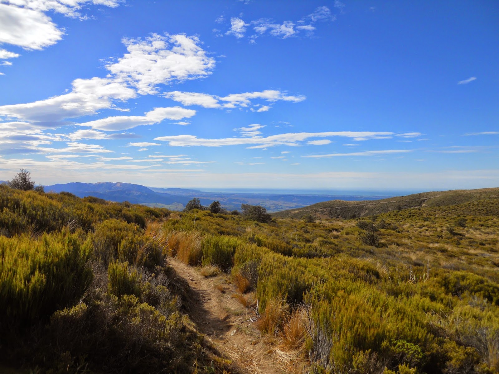
After a stop for a drink I continued on up the track, it is less steep as you climb but still hard work.
 |
| Kaikoura Peninsula from 800 meters up Mt Fyffe |
After another half hour I reached an exposed part of the track, where I stopped for a rest. Care would be needed here in very strong wind as there is little cover and big drops on both sides of the track. On the way back down I got hit by a wind gust here that would have been at least 100 kph- yikes- not good!
 |
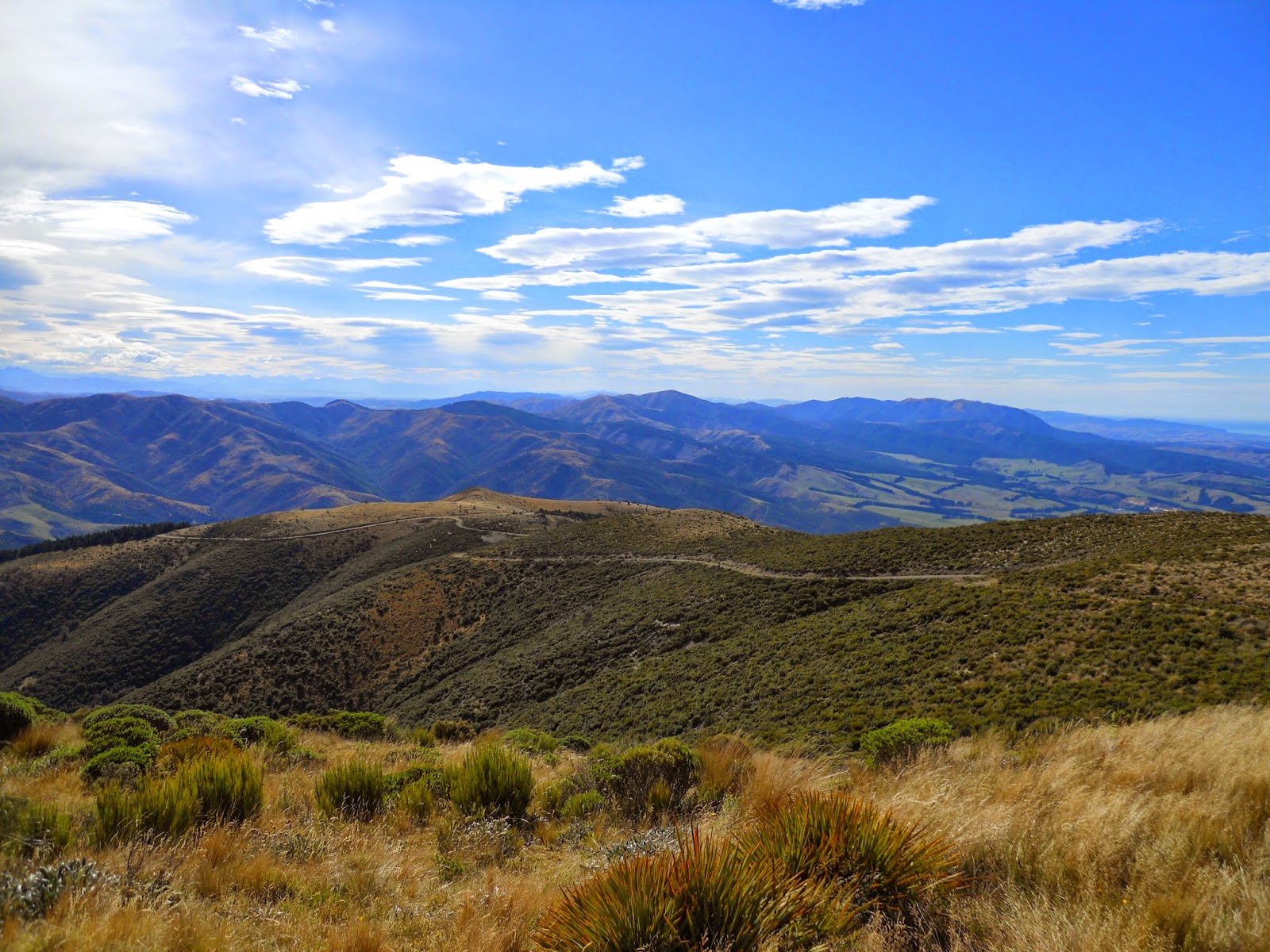
| Kowhai River Gorge, Homestead Spur |
I continued on for another half hour before I decided to stop to consider my options. I could see a storm rolling up the valley from the south west. This was basically the point of "no return", above here it makes more sense to continue on to the hut than to turn back.
 |
| Storm approaching Kaikoura from the west |
 |
| Jon on the Mt Fyffe Track |
The photos above and below show the deterioration in the weather conditions, by the end of my 10 minute break I had strong wind gusts, rain and sleet assailing me from the approaching storm. As I was still at least an hour from the hut I would effectively be 3-4 hours away from the car if I continued.
I reluctantly decided that I had to start for home.
 |
| Homestead Spur- storms clouds gathering! |
You cant see it in this photo but the hut is just past the second highest peak in the right centre of this photo.
 |
| View towards summit of Mt Fyffe from the track |
 |
| Kaikoura in the distance from Mt Fyffe |
 |
| View towards Amuri Range from Mt Fyffe |
 |
| Kowhai River and Kaikoura Plain from Mt Fyffe |
As usually happens the rain stopped as I descended back down to the car-park, in fact the sun came out again. Did I make the right decision? Of course, because I have learnt to listen to what my instincts are telling me.They said "...go back Jon, its going to rain....go get some fish and chips instead...". So I did!
When you tramp solo you have to err on the side of caution. The possibility of being stuck high on a mountain in a snow storm does not bear consideration.
 |
| Rain falling at sea off Kaikoura |
 |
| View west towards the Inland Kaikoura's |
Here is an example of the seats which have been installed at regular spots along the track, generally in places with fine views of the surrounding area.
 |
| One of the benches positioned along the Mt Fyffe Track |
It took me about an hour to make it back to the car, being chased there for the last 10 minutes by light rain. By the time I drove back to the house we were staying at it was blowing a gale; high wind, torrential rain, sleet then snow- the whole works.
I was well pleased that I had decided to turn back.
I was well pleased that I had decided to turn back.
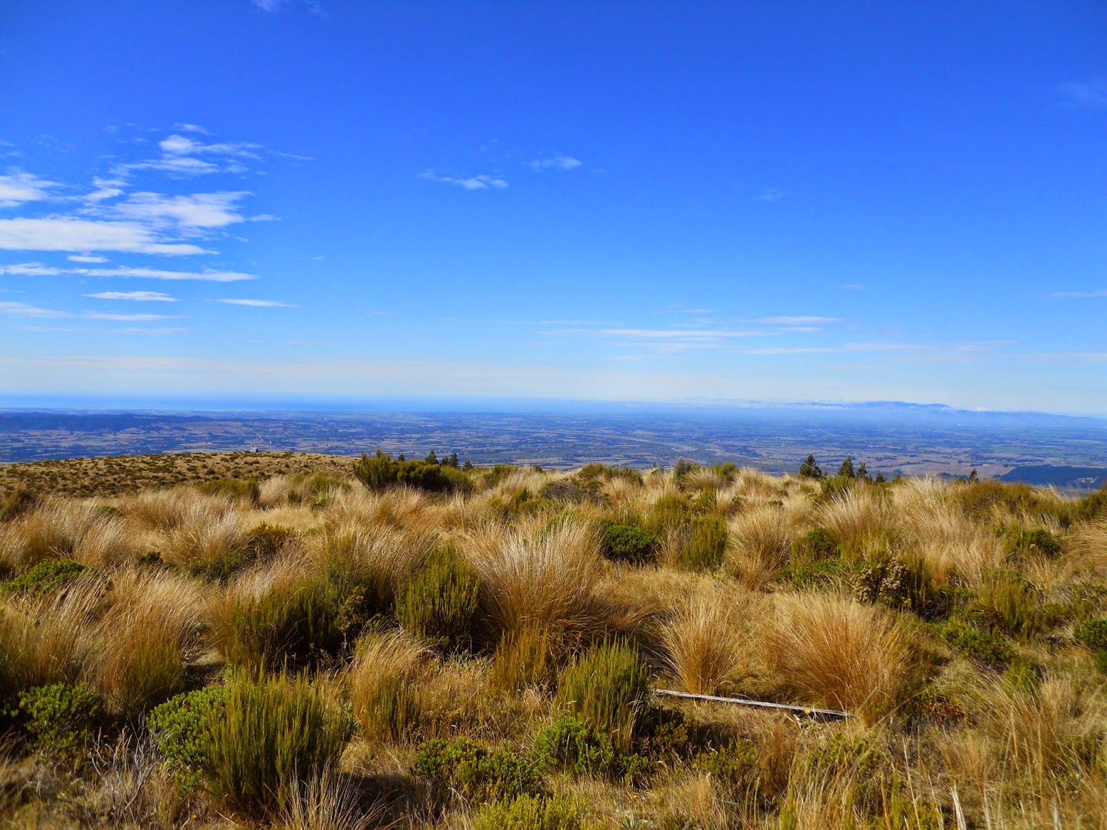
 |
| Last view of Kaikoura Peninsula from Mt Fyffe |
It was a good trip, even with the weather and to be recommended. I will have another bash at the track as we are already planning a trip to Kaikoura later in the year when the weather is better. Hopefully, next time I will be able to walk right up to the summit.
NB: No....it rained or was really windy for all of our subsequent trip....no tramping!
This is still on my too do list!
NB: No....it rained or was really windy for all of our subsequent trip....no tramping!
This is still on my too do list!
Access: Drive north out of Kaikoura on Ludstone Road; turn right onto Mt Fyffe Road and follow it to its end. The Hapuku road end is 3 km along Parson's Road which leaves State Highway 1, 10 km north of town.
Track Times: From the Kowhai River car park it is 2-3 hours to Mt Fyffe Hut. Another hour will see you on the summit of Mt Fyffe. 2-3 hours return to the car park.
Hut details: Mt Fyffe Hut: standard, 8 bunks, fire box, water tanks, toilet, wood shed (wood provided)
Miscellaneous: Mt Fyffe Hut is located at 1200 metres while the summit is at 1600 metres. The Seaward Kaikoura's are wildly exposed to wind and any weather and get regular and heavy amounts of snow. Be prepared for adverse conditions.