Sunday 31 January 2016

Otira River Crossing Reconnaisance: 30th January

A look at the ford over the Otira River.... 

My six day trip over Harper's Pass is coming up in two weeks time , so I went to the West Coast over the weekend to scout the crossing points on the Otira River.

(NB: It didn't happen due to a massive sodding rain event...)

The Otira River at Aickens Corner, Arthurs Pass National Park

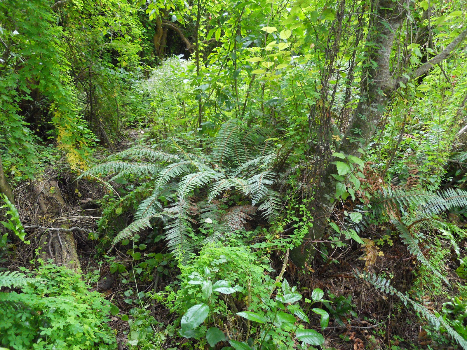
Travel up the Taramakau means river crossings....

To get over Harper's Pass you must be able to cross the Otira, Otehake and Taramakau Rivers on the first and second days of the tramp. There are no bridges crossing any of these rivers, so you need to utilise those river crossing skills to get through. The Otira is generally the worst of the three, if you can cross this river at Aickens Corner you should be able to cross the other two as well. 

Otira Ford point at Aickens Corner


For more information on river crossing technique you should read the relevant sections of the MSC books:  Bushcraft : outdoor skills for the New Zealand bush and River Safety: Be river safe.

Every serious tramper should have a copy of both of these books at home.

The Bushcraft bible: Bushcraft in New Zealand

MSC River Safety Manual: must know river crossing techniques


The Otira, Otehake and Taramakau Rivers are all killers: numerous people have been swept away trying to cross them in unfavourable conditions. They are always cold and can be deep and swift with even a hint of rain in the surrounding mountains.

This is the West Coast remember: it is always raining in the surrounding mountains.

Track to the Taramakau Valley from near the Aickens car-park

The photo below is of the Otira directly opposite the track from Aickens. The water looks deep but I watched a party of three trampers cross here, the water only reached their knees so this is the first of three potential crossing points.

It is about 20-30 meters wide so it is a long way to back-track if things started to look dicey during your crossing. I would still think about fording here but I would think long and hard before wading in. 

Otira River: First possible ford near Aickens Corner
About 100 meters up the river it is a different story: it looked sphincter puckering! Deep and fast flowing as the river is confined to one very narrow channel. You can see an obvious pressure wave in the river which is a classic danger sign.

DO NOT CROSS HERE!

Otira river view towards the flood track near Aickens Corner
I headed up the river about 400 meters and found a good crossing point where the river breaks into three braids. You can just see the potential crossing point about 50 meters upstream of this spot, the river crosses a shingle fan and becomes shallow.

View upstream: Otira River ford near Aickens Corner
 I walked over the first two braids and it was halfway between ankle and knee depth. Provided it doesn't rain too much I should be able to get over the river easily enough here. 

The multi braided section of Otira River near Aickens I walked across
Multi braided section of Otira River, Aickens Corner
You would basically cross from channel to channel via the intersecting island's.  Also, there is good run out into relatively shallow water if something goes wrong. Run out is what happens with the water downstream of your crossing. You want it to be clear, preferably shallow with no boulders, snags or rapids..if you go for a swim you don't wont to be colliding with anything.

Piece of piss then: No... not really but at least you would be safer crossing here.You are never 100% safe crossing any river in New Zealand, you need to respect them.


Multi braided section of Otira River looking towards the Taramakau

Just a note, there used to be a small shelter on the tongue of land between the Otira and Taramakau. It was about 300 metres from the river itself....it got carried off in a flood in 2014!

 Something to think about....

Multi braided section of Otira River at Aickens,  looking downstream...


There was also a potential crossing point about 50 meters downstream of the straight through route, again the river breaks into two wide channels slowing the speed and force of the water. It is a possibility but I wasn't as fond of the run-out, it looked deep just downstream of the crossing point, if you went swimming you might find it hard to get out again. This would be my least favoured option.

Different day...the Otira River after 1-2 hours light rain in the headwaters...
Please note: If you are unable to cross the Otira River at the ford then you will not be able to cross the Taramakau or Otehake Rivers.
 
Anyway that's what this beast looks like, whether it is the same in two weeks remains to be seen. 

P.S: I gave a couple of TA walkers a ride from Arthur's Pass to Lagoon Saddle Track. One of them got swept away by the Otehake a couple of days earlier but managed to make it to shore. He freely admitted he just waded into the river and didn't take the time to study it well. Always study a river before entering.

Crossing the Morrison Footbridge just west of Otira

Access: Aickens Corner is approximately 5 km's west of Otira township, there is a parking area on the right hand side of the road.
Track Times: The ford over the Otira River is located 10 minutes along the track to the Taramakau Valley, please follow the marked track as it crosses farmland.
Miscellaneous:The Otira can also be crossed via the Morrison Bridge, this is approximately 1 km west of Otira. Then use the Otira Flood Track to access the Taramakau- note that the flood track is overgrown and in poor condition, it takes 1.5-2 hours.

Tuesday 26 January 2016

Peel Forest Park Scenic Reserve II: Fern Walk : 24th January

More adventures in  Peel Forest...


Continuing on from my last post, the other walk in the Peel Forest area we did was the Fern Walk. There was a world of difference between the two tracks: Dennistoun Walk is in an area where logging has previously taken place, whereas the Fern Walk has never been logged. The bush along the Fern Walk was much denser as well as containing many more examples of mature native trees.

My daughter Juliet on the Fern Walk, Peel Forest Reserve

Fern Walk, Peel Forest Reserve:


The primary tree type on the Fern Walk is the Totora, although you still find magnificent examples of Fuchsia, Kahakitea and Matai as well. What is also in residence is a thick ground cover of ferns, they are really prolific along the sides of the track. Makes sense given the name of the track...


Tracks in the Peel Forest Reserve

The Fern Walk can be accessed off the main Mt Peel Road, it is about 2 kilometres past Mt Peel township. It takes 1-1.5 hours to walk all of the track, the terminus is at Lookout Road which joins the far end of Blandswood Road. We walked along the first 45 minutes worth and then returned to the start. 


As is the case with fathers everywhere I take every opportunity to embarrass the girls when we are out in public. Hence the awesome pose!

Yes, I am an embarrassment to the kids!
The bush is really dense alongside the Fern Walk, the forest was more diverse and much thicker.

The advantage of never being logged?

I read somewhere that the area was used for jungle training back in WW2 and the Malaysian Insurgency. I can see why, it is as thick as any jungle I have seen in the Islands. It is obviously popular as we saw 5-6 other people as we travelled along. 

Juliet about 100 meters along the track, Fern Walk
As is the way with teenagers, Georgia was super happy to go for a walk. Thankfully (and as expected) she enjoyed herself and was much happier by the end. 

Ah...feel the teenage love!
Awesomely happy Georgia and dense bush Fern Walk, Peel Forest
There are some large Totara and Kahakitea trees in the area the largest would be a good 6-8 meters around, 500-700 years old. There are some very large Fuchsia trees along the track, some of these would be 2-3 meters around the trunk which is BIG for this type of tree. 


Dense ferns and undergrowth, Fern Walk

Juliet with one of the large tree ferns, Fern Walk

Ferns and young Matai saplings alongside track

Heading up the Fern Walk, about 30 minutes along
The Fuchsia below was big: this is one of the examples with a 2-3 meter round trunk. 

Large Fuchsia tree, Fern Walk

Nice wide track, Fern Walk
I was trying to explain to the kids how easy it is to get lost even on a good track like this (bush lessons # 365 in-situ...) but they were unconvinced.  So I walked about 15 meters into the bush, it was so thick I couldn't see the track at all and I was completely invisible to them.

Vine community on a young Kahakitea tree, Peel Forest


The Big 3: Kahakitea, Fuchsia and Matai on the Fern Walk


Fern Walk, Peel Forest: track side fern

One of the set of steps on the Fern Walk
For the most part the track is flat or on a slight incline. There are a couple of places where you need to climbs some stairways to cross intervening Spurs, especially towards the Blandswood Road end of the track. If you wanted a nice easy walk, just do the first 20-30 minutes as there is only one stairway along this stretch.

At the top of the first stairway, Fern Walk

Descending one of the stairways, Fern Walk

Juliet and I descending some steps on the Fern Walk, Peel Forest
The girls utilised the thick lichen growing on the trees along the track for some quick cosmetic changes to their appearance...

Fern Walk, Peel Forest: Georgia channelling a 70's outlaw biker!

Nice eyebrows Juliet, Fern Walk, Peel Forest

This is a very nice track, it is in excellent condition and beautiful with the mature trees and dense under-story. The track is well signposted on Peel Forest Road and Blandswood Road.

It would have been a wonderful sight to see this area before milling. The forest reached all the way from Peel Forest to Coopers Creek about 12 km's away to the south. The current reserve is about 900 hectares so you are talking 20-30 thousand hectares at least. 

Red outlines historic extent of Peel Forest prior to mid 19th Century timber milling


Great wee track this one, once again highly recommended go have a look if you ever find yourself in Peel Forest.

Access: Fern Walk is clearly signposted on the Peel Forest Road. Go through Peel Forest township, the track is approximately 2.5 km's past the township on the left.
Track Details: Fern Walk is a through track to Blandswood Road. The whole track takes 1.5 hours one way.
Miscellaneous: All weather track, some stairs to negotiate in several places.

Monday 25 January 2016

Peel Forest Park Scenic Reserve I: Dennistoun Bush Walk: 23rd January

Day walks in Mt Peel Forest, South Canterbury

The family and I went for a  holiday to Mt Peel recently and while there walked a couple of the shorter bush tracks in the surrounding area. The Peel Forest Park Scenic Reserve is a small remnant of the extensive podocarp forest that existed on the Canterbury plains before humans arrived in New Zealand.

Little Mt Peel from Blandswood Road, Mt Peel Forest
 The area around Peel Forest was the scene of intensive logging in the late 19th century. Lucky for us a visiting Englishman brought most of the existing forest and eventually gifted it to the people of New Zealand.

Map of Mt Peel Forest area...extensive tracks to explore!

There are a series of short walks and longer tramping tracks in the Mt Peel area, the main short walks are the Fern, Big Tree and  Dennistoun Walks.

The pre-eminent tramping route is up to the summit of Little Mount Peel via Deer Spur, not a trip I did on this visit.

The Dennistoun Walk

The Dennistoun Walk is through an area of regenerating bush with some fine specimens of the native trees endemic to the area. These include Matai, Fuchsia, Kahikatea and Totora. It takes about 1 hour to walk the full circular track with the first 35 minutes being through old growth podocarp forest.

I have absolutely no idea who/what Dennistoun was!

(See the comment at the bottom of the page for info about George Dennistoun...)


Start of the Dennistoun Walk, Mt Peel Forest

The entrance to the walk is on Blandswood Road, go past the Peel Forest township, then turn right into Blandswood Road. The walk is about 2.5 kilometres down this road on the left and is clearly marked with a roadside DOC sign.

Many Moake's walking into Mt Peel Forest

It was a sweltering 29 degree Celsius day so it was really nice to be walking under the cool forest cover. Contrast the type and degree of bush cover of this previously logged area with the Fern Walk which was never logged.


Mixed podocarp forest: ferns, bush and trees, Dennistoun Walk
There are some large examples of Fuchsia trees along the track, they are some of the largest ones I have ever seen in the NZ bush. Incidentally, the paper like bark of the Fuchsia tree is perhaps the finest natural fire starter you will find in New Zealand. I always carry a handful in my pack for emergency use.

Mature Fuchsia tree next to Dennistoun Walk track.

Track side fern, Dennistoun Walk

Close up of the above fern


One of the resident Totara trees, Dennistoun Walk, Mt Peel Forest


Massive Southern Rata, Dennistoun Walk


Close-up of Rata trunk, Dennistoun Walk


New Zealand Fantail


The most common tree in Mt Peel is the Kahikatea but there are also some fine specimens of Totora, Southern Rata, Matai and Fuchsia trees in evidence. Some of the larger trees could easily be 900 years old, most would be between 400-500 years.


Trunk of Kahikatea Tree, Dennistoun Walk
I was disturbed to read somewhere that the only practical use for some of these 600 year old Kahikatea trees were as packing crates! So trees that pre-dated the Maori arrival to New Zealand were cut down to ship fruit, cheese etc. to Australia in the 1890's. 

Stupid!


Interesting object d'arte along the Dennistoun Walk


Mature Kahikatea Tree, Dennistoun Walk


Mature Kahikatea Tree, Dennistoun Walk


Plant community inhabiting a track side Matai tree in Mt Peel Forest
The walk itself is very nice, there are a lot of native birds in the area, we saw Wood Pigeon, Bellbirds, Tui, Fantails, Silver eyes and Tomtits as we walked along. The track is in excellent condition, firm and dry underfoot.

Dennistoun Walk track conditions- excellent!


More of the Dennistoun Walk track
There is a massive and ancient Southern Rata tree about halfway around the track, it is very likely that this tree could be as much as 800-900 years old. It probably only survived being felled as Rata is a notoriously difficult wood to turn into usable timber products.

Jon, Georgia and Juliet next to massive  tree, Dennistoun Walk


Detail of Rata tree, Dennistoun Walk
The image below is a perfect example of why wind fall trees should be left to rot into the forest floor. As you can see this old log sustains a lively community of ferns, shrubs and saplings which will eventually replace the lost tree.

Mt Peel Forest, ferns and young Matai trees growing on rotten log

Fern Walk: The historic saw pit and "Big Stump"

About half way around the track there is an old saw pit from the area's forestry days. To turn the trees into timber a deep pit was dug to allow massive 2 or 4 man hand saws to be used.

Turn off to the historic saw pit and "big stump" on the Dennistoun Walk


 There is a massive hollow stump which is about 2 meters deep and 3-4 across, it is easily big enough to hold a family of four within it. This tree was probably 900+ years old...


Massive hollow stump, Dennistoun Walk, Mt Peel Forest
As you can see, the cut tree is rolled over the pit, one man stands at the top and another at the bottom to work one of the massive two handed saws they used at the time. Pity the poor sod who had to stand in the pit, he would have been covered in sap and sawdust at the end of the workday.

I'm thinking it was a job for the new chums.....

Detail of saw pit, Dennistoun Walk, Mt Peel Forest
We happened to spy these two fat wood pigeons or Keruru in a nearby tree, they are really prevalent in the area as this type of forest is their traditional home.

Tree bound Keruru, DennistounWalk

You can see why the early explorers lived off Keruru...they are really fat and would make for a good eating. Roasted wood pigeon, a bit of baked fern root, some piko piko...sounds like a excellent meal to me!


Close up of the Keruru, Mt Peel Forest

Some assorted photos of the girls exploring the stump, Georgia is 5'8" tall for comparison....

Georgia on "the stump", Dennistoun Walk


Georgia and Juliet on "the stump", Dennistoun Walk


The girls pointing to the Keruru, Mt Peel Forest


Because this area was clear felled there are a lot of areas where exotic plants and weeds have taken over the land. You can see many small saplings of Totora and Matai growing but it will be several hundred years before they achieve any size. 
The photos below is of one area with invasive weeds and larger remnant forest in the background.


Fox glove growing in clear over area, Dennistoun Walk


Mt Peel Forest, some animals dinner, Dennistoun Walk

It is a very nice walk and even though the area was once logged there are still a lot of truly massive native trees to be seen.

Thoroughly recommended if you happen to be in the area.

Access: Dennistoun Walk is accessed on Blandswood Road travel to Peel forest township, turn left one kilometre past the town onto Blandswood Road. The track starts on the left approximately 2.5 km's west of the Peel Forest Road - Blandswood Road intersection.
Track Times: 1 hour for the full Dennistoun Walk circuit, follow the signs
Miscellaneous:Toilets at start of the track