A return to the Nina Valley
I have wanted to get back up the Nina Valley for some time now, the last time I was in the area was
back in 2013, nearly 3 years ago. With a slightly dodgy weather forecast I was skeptical but decided to try to get up to Nina Hut and stay for the night anyway.
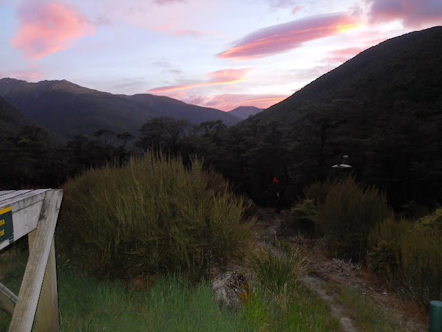
I headed up early on Friday to try to avoid the worst of the heavy traffic now using Lewis Pass and arrived at the NZDA Palmer Lodge around 9 in the morning. This is a moderately safe place to leave your car, and the closest parking area to the Nina Valley Track.
 |
| The red beast parked next to Palmer Lodge, Lewis Pass Scenic Reserve |
Here is a shot through the window of Palmer Lodge, it looks perfectly comfortable in an olde time rustic kind of way.
 |
| The interior of Palmer Lodge on the Lewis Pass Highway |
This is what your average kiwi 'Bach" or holiday home looked like until the massive explosion in house prices 15 years ago. Utilitarian but serviceable....
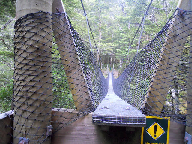
Heading to the Lewis River swing bridge
The Nina Valley track starts from the Lewis River swing bridge, it is across SH7 and 100 meters up the road from Palmer Lodge. Take care crossing the road as there is a lot of fast traffic on this road since the Kaikoura earthquakes.
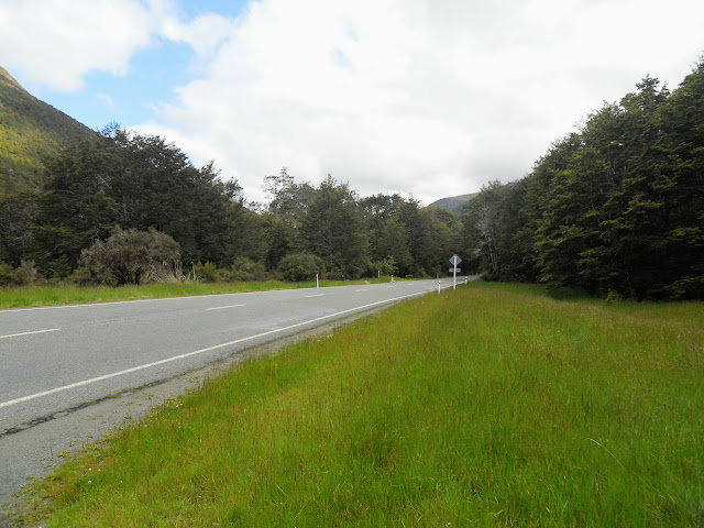 |
| Crossing SH7 to the start of the Nina Valley Track |
 |
| Well sign posted track entrance...Nina Valley Track |
 |
| Lewis River swing bridge, gateway to the Nina Valley |
On the Nina Valley Track
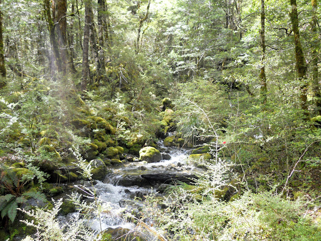
The Nina Valley track gives you access to various locations up this valley including Nina Hut, Lucretia Stream, the Devils Den route, and Mt Boscawen. Generally it is a good track but it can be very muddy if there has been any significant rain.
Be aware that you need to cross eight side streams to get to the hut, a problem if heavy rain is coming as 3-4 of them could flood enough to trap you up valley.
 |
| Map: Nina Valley Track network |
On the far side of Lewis River are a couple of information boards and an intentions book, check this book to see how many people are visiting the hut. Nina Hut is a 10 bunker, a flick through the hut book showed multiple occasions when there were up to 20 people staying there....
If it is busy take a tent or go somewhere else...I suggest Lake Daniels Hut over Lewis Pass or Cannibal Creek Hut the first hut on the St James Walkway.
 |
| DOC track map on the true right of the Lewis River bridge |
There is a board about the DOC/Hurunui College/Forest and Bird joint kiwi/kaka/whio recovery program in the valley, they run a very successful pest trapping program. The number of native birds in the valley has increased significantly including nearly 20 introduced kiwi.
Damn fine work!
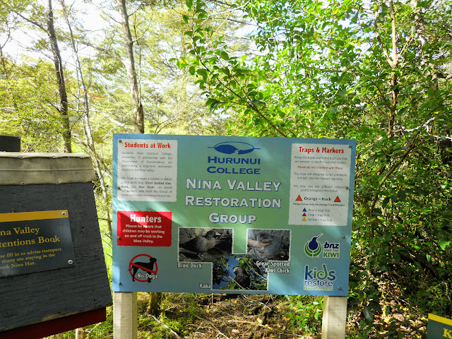 |
| Huranui College information board in Nina Valley |
 |
| Nina Valley Track: close up detail of the college information |
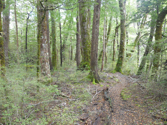
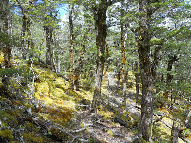
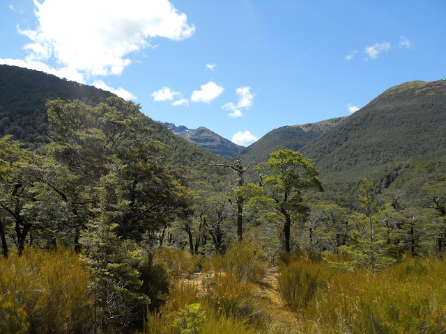
To start, the track runs along an old river terrace through nice beech forest, it is well marked and easy to follow.
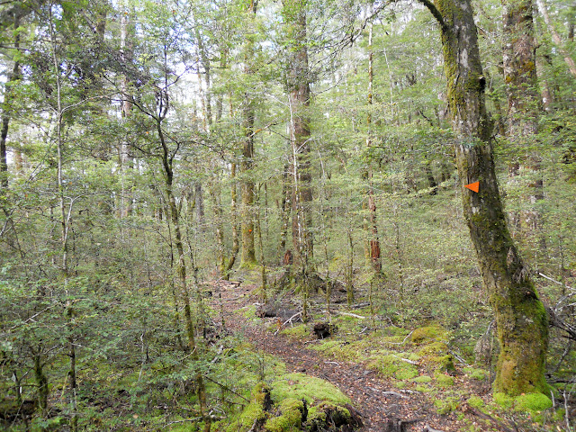 |
| Nice beech forest to start, Nina Valley Track |
 |
| Jon enroute to Nina Hut |
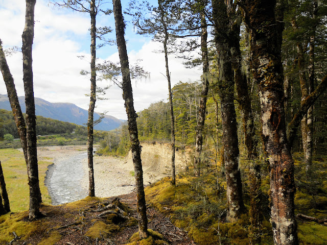 |
| View down the Lewis River from the river terraces, Nina Valley Track |
 |
| Nina Valley Track: mature red beech tree grove |
About 15 minutes down the track you climb up and over an ancient rock slip, now clothed in forest. There are patches of moss covered "Goblin" forest in this area. It then descends to an old swamp, this is by far the wettest and muddiest section of the track...if it has been raining expect to get dirty...
 |
| Climbing over the rock slip on the Nina Valley Track |
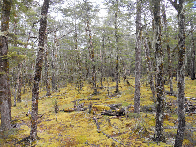 |
| Nina Valley Track: Goblin forest on the slip |
 |
| Start of the mud slog, Nina Valley track |
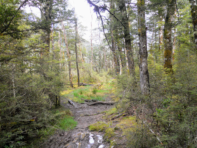 |
| More of the muddy Nina Track |
 |
| Nearing the end of the old swamp, Nina Valley |
 |
| Height 1532 from the Nina Track |
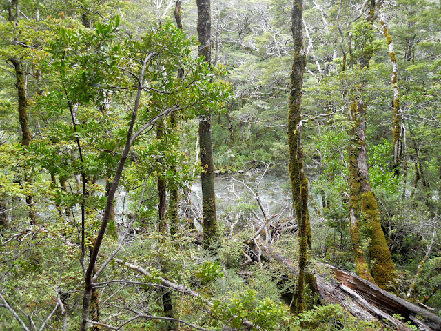
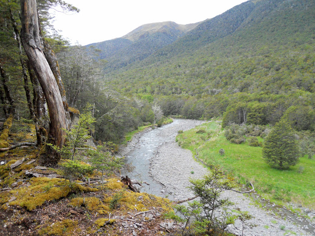
Past the mud you head back into beech forest, Red Beech in this case, the rest of the track is either forest or open river flats. You get a few glimpse of the Nina River but mostly you are several hundred meters away from it as you head to the Nina River swing bridge.
 |
| Red beech trees, Nina track |
 |
| First of eight stream crossings, Nina Track |
 |
| A swollen Nina River from the track |
 |
| Climbing up to the Nina River swing bridge |
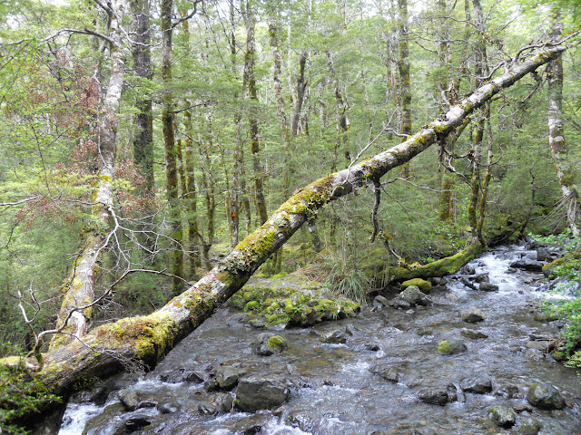
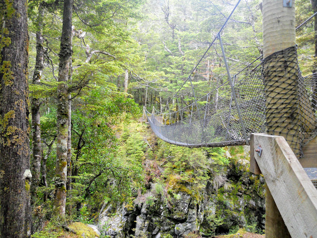
There is a bridge over the Nina Valley about an hour into the journey, while the bridge itself is impressive the deep emerald green river pools are spectacular. The rest of the journey to Nina Hut is on the opposite or 'true right" side of the Nina River.
 |
| Jon at the Nina Valley swing bridge |
 |
| I'm going here....Nina Hut! |
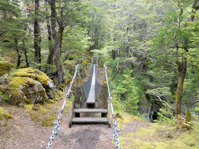 |
| Nina River swing-bridge |
 |
| The Nina River Gorge |
 |
| Beautiful, icy cold Nina River |
 |
| On the true right of the Nina swing bridge |
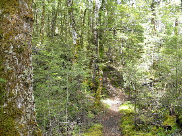
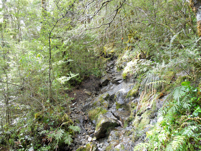
The track from here to the hut sidles the side of the Sylvia Tops ridge, it is about 1.5 to 2 hours to the hut from the bridge. Most of this track look familiar but there are many places where the track has been re routed away from the river. This is to avoid the eroding river bank but some areas look like attempts to avoid the legendary mud.
 |
| Rerouted track section on the true right of the Nina River |
Here is one of pests DOC and Hurunui College are trapping: a mangy looking stout!
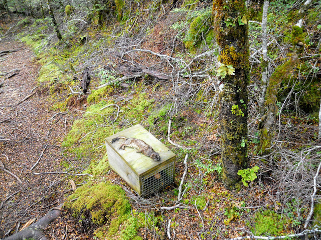 |
| Stout and the box that caught him...Nina Valley Track |
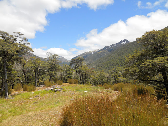
There is a track from the swing bridge to Lucretia Stream, it goes up the true left side on the Nina River. Lots of good camping on the river flats about 30 minutes up that track.
 |
| Track marker poles on the true left of the Nina River |
 |
| Open beech forest, Nina Valley |
 |
| View up Nina Valley to the Duchess Range |
 |
| Crossing the river flats near the Nina river |
 |
| Back into the bush, Nina Track |
Below is a photo of one of the re routed track sections, this one is long, it must go for about a kilometer and is about 100 meters further away from the river than it used to be. The old track had a lot of river bank erosion along it, I imagine that is why it has been re routed.
 |
| Start of long re routed section of the Nina Track |
I stopped for a snack about 45 minutes up valley and enjoyed my favorite tramping snack; a box of raisins...yum! I like a sweet/savory snack mix so I favor raisins/steak bars/snickers/salted peanuts/M&M's and cheese sticks, I'm not big on muesli bars (they taste like sawdust to me).
 |
| Snack time: raisins in the Nina Valley! |
 |
| Side stream on the Nina Track |
 |
| End of the long re routed section of the Nina Valley Track |
 |
| Nina River from the sidle track |
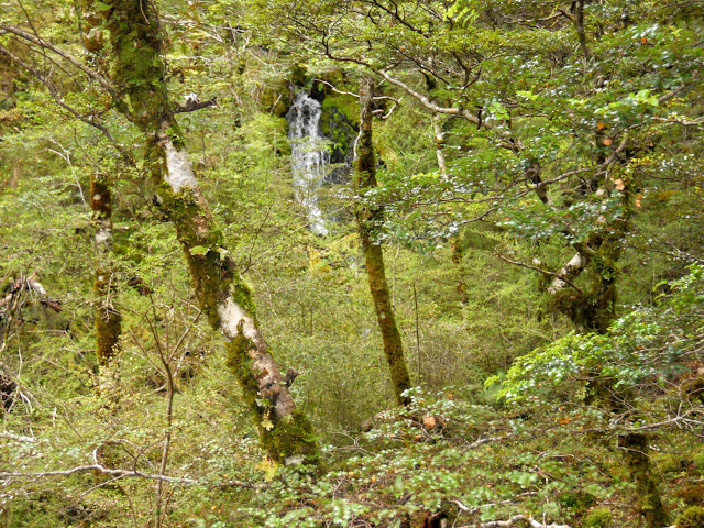 |
| Nice small waterfall near the Nina Track |
 |
| Another of the side streams on the Nina Valley track |
 |
| Nina Valley Track: cascade just above the stream crossing |
 |
| Rest spot two: about 2 hours along the Nina Track |
This likely looking fellow swooped down to check me out when I stopped for a drink and boot adjustment. You often have companionable New Zealand Wrens visit you in New Zealand beech forest they are after the bugs you disturb as you walk along.
 |
| Native New Zealand Wren, Nina Valley |
 |
| The last stream crossing, climb to Nina Hut starts now.. |
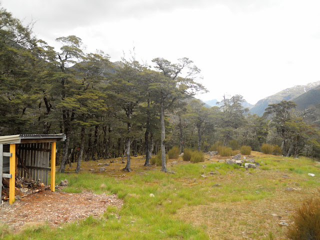
Nina Hut sits on a spur line 3/4 of the way up the valley, it was an inspired spot as it is so sunny.
The last kilometre to the hut is a gentle climb to the flat area the hut occupies and is characterised by moss draped 'Goblin forest".
 |
| Climbing the spur Nina Hut sits on |
 |
| Last rise before Nina Hut |
 |
| Walking along the spur top towards Nina Hut |
I finally reached the hut after 2.5 hours which was good progress given the muddy state of the track.
 |
| Nina Hut in its well sited clearing |
 |
| The veranda, wood storage and water tap, Nina Hut |
 |
| Mt Boscawen from Nina Hut clearing |
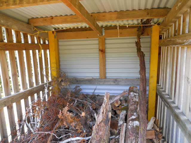 |
| Some wood in the Nina Hut wood shed...noice! |
 |
| Tracks to Devils-Den Route and Upper Nina Bivy near Nina Hut |
First order of business, as always, was a brew of tea. This is always the first thing I do when I get to a hut, good old tea revives on both hot and cold days.
While the water was boiling I did a few hut chores...
 |
| Brewin' up in Nina Hut... |
 |
| Boiling water for my first brew...Nina Hut |
 |
| Nina Hut: Jon doing some hut cleaning |
 |
| View from the Nina Hut kitchen window |
 |
| Oh...that looks good a pot of tea! |
I'm using hut tickets this year, I never got around to buying a DOC Hut pass, though I have had one for the last three years. At $90 dollars for FMC members like me it is a real bargain...the only huts it doesn't cover are Great Walk and huts on the DOC hut booking system.
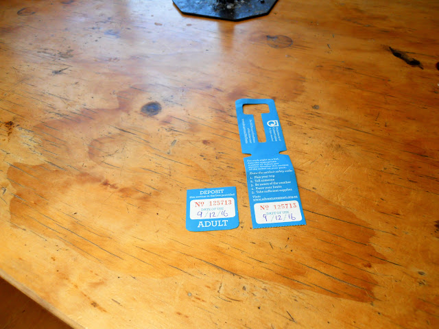 |
| DOC hut ticket for the night at Nina Hut |
 |
| Lunch time at Nina Hut: Tea, snack bar and.... |
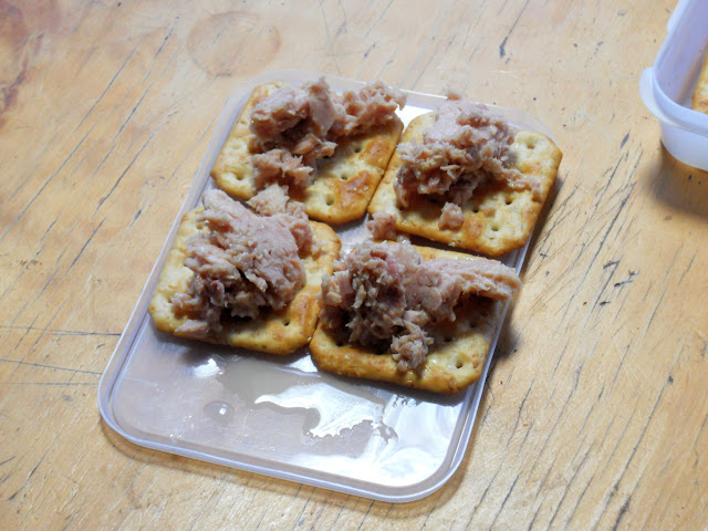 |
| ...tuna crackers! |
I ended up having the hut to myself which is unusual for this hut as it gets a lot of use. I imagine the sketchy rain forecast put a lot of people off - it was supposed to rain that night but in the event it was fine, dry and warm. I took my usual position, up against a wall so that I can lean against it as I read my book.
 |
| My cozy posy for the night, Nina Hut |
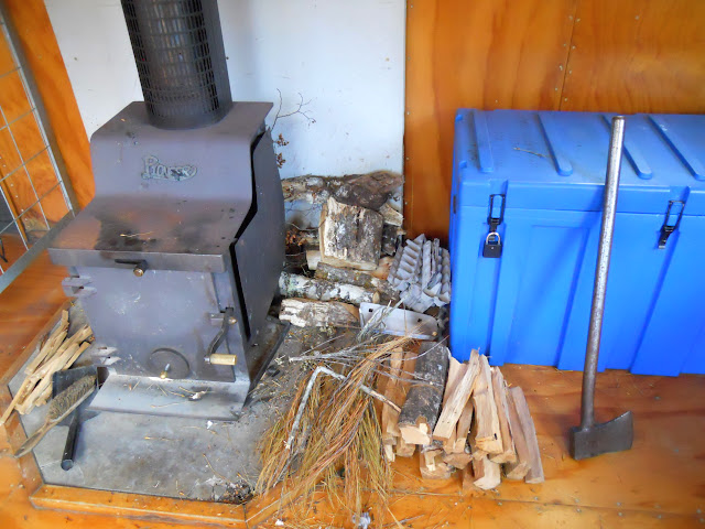 |
| Nina Hut: Cut up fire prep, DOC gear box (the big blue thing...) and axe! |
 |
| View south from the veranda of Nina Hut |
 |
| Nina Hut from the hut clearing |
You can see how sunny the hut clearing is, the old Nina Hut was on the true left of the Nina River just before Duchess Stream so it was cold, damp and miserable for much of the year. This is so much better.
 |
| Nina Hut: the view east towards SH7... |
 |
| ...and north towards Duchess Stream from Nina Hut |
 |
| The water tank at Nina Hut |
I spent the afternoon around the hut cutting up all of the firewood, drinking tea, reading and generally loafing about...
 |
| Nina Valley: storm clouds coming in from the West Coast! |
 |
| Plenty of space for tents in the Nina Hut clearing |
 |
| Dinner preparation, Nina Hut |
 |
| Mood lighting to help set the scene...Nina Hut |
 |
| Dining/Bunk area: Nina Hut |
 |
| Dinner: Tomato, Chicken Alfredo with olives and mango cordial! |
There was a bit of wind over night, especially around 1 am....I could hear the gusts coming up the valley like a freight train something like:
...pppffffsshhHHSHSHSHSROOOOOOOOOAAAAAARRRRIIIIFFFTTfffftttttttttttttshhhhhhh...!!!
All I can say is I'm glad I was in a hut in a valley and not in a tent on the tops.
Day Two: Back to civilisation...
I was up and moving at around 0530 in the morning, I was keen to get away from the hut in case a threatened rain storm rolled in and trapped me there. After some quick porridge, I packed up and headed away from the hut at about 0615.
 |
| Sunrise from Nina Hut, Lake Sumner FP |
 |
| Farewell Nina Hut.... |
It was light enough that I could see the track unaided, I used my head torch for crossing the side streams as it was still a bit dark for me to see the bottom of them. Travel down valley was quick, it is just about all downhill on the way out of Nina Valley.
 |
| Crossing one of the side streams on the NinaValley Track |
 |
| Nina Valley Track: on the track heading towards SH7 |
By the time I reached the river flats an hour down valley it was light enough to put my torch away. I stopped for a 5 minute break on the edge of the flats and then got under way once again.
 |
| Start of the true right river flats, Nina Track |
 |
| Storm clouds at the head of Nina Valley |
 |
| In the bush closing in on the Nina swing bridge... |
 |
| ..and back at the Nina swing bridge, 1 hour to go... |
I stopped for another break on the far side of the Nina swing bridge, just enough time for a drink, adjustment of gear and a "comfort" stop. As I was sitting here I got to thinking about the possibility of pack rafting down the Nina River, it seems to me it would bear some investigation....
 |
| Last rest stop near the Nina swing bridge |
 |
| Rapids downstream of Nina swing bridge |
The area below is a small river flat 10 minutes from the swing-bridge and is marked on the maps as Nina River camp ground...basic because there are not even any toilets here...
I have seen trout fishers camped in the area before but the sand-flies must be murder.
 |
| Crossing the small river terrace 'camp site' downstream of the Nina bridge |
 |
| The last stream crossing for this trip to Nina Hut |
The track was a lot drier than the previous day, these old swamps drain really fast so it was more a case of avoidance of mud than mud wallowing.
 |
| Nina Valley Track: back into the swampy mud bath |
 |
| Climbing the last small spur on this trip...Nina Valley Track |
 |
| ...and down the other side. |
I spotted this magnificent Tui in a tree near the Lewis River, here he is about 4 feet away from me. When I took a photo of him higher in the tree and the flash went off he flew CLOSER to see what I was doing. Not strong survival skills buddy!
 |
| Native Tui searching for grubs near the Lewis River |
 |
| Lewis River and view of SH7 from the Nina Valley Track |
 |
| Nina Valley Track: the Lewis swing-bridge is just around that bend in the Lewis River |
 |
| Crossing the Lewis River swing bridge |
 |
| On the Lewis River swing bridge at the end of the track |
Now that is a awesome sight: end of the track and my car not a smashed or smoldering ruin....!
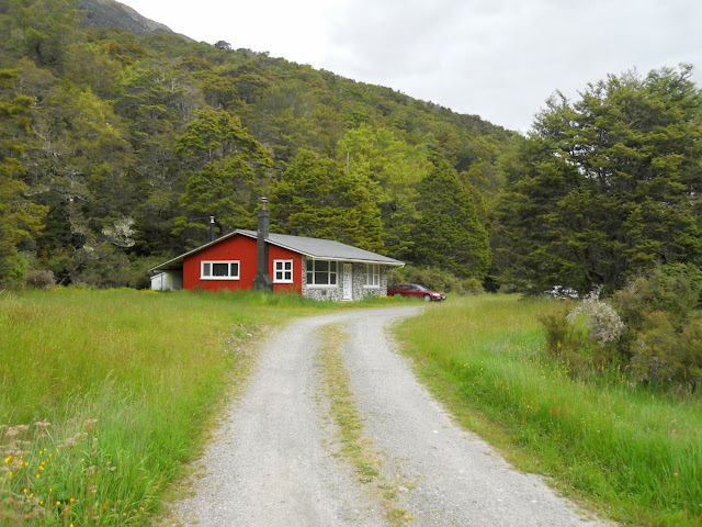 |
| NZDA Palmer Lodge on SH7 |
Another fine tramp in the Lewis Pass area, this really is my favorite tramping spot, even though it has State Highway 7 running through it it has a really remote feeling about it.
Next time I am up the Nina will be for a visit to Upper Nina Biv or Lucretia Biv. I also have a longer term plan to do a multi day tramp from Windy Point to the Nina crossing the intervening saddles; a distance of about 25 kilometers over 3 days.
 |
| Lucretia Biv, Lake Sumner Forest Park |
I would like to say a big thank you to DOC, Forest and Bird and Hurunui College, the bird recovery program you are working on is fantastic, the local forest is alive with bird song. I personally saw 4 Bell Birds, a Wren, a Kaka and a Tui and heard several kiwi during the night.
Keep up the good work!
Access: Nina Valley Track can be accessed from SH7 - Lewis Pass. Park at the NZDA Palmer Lodge and travel 70 meters up the river side of the road to the track entrance
Track Times: It is 1-1.5 hours to the Nina Swingbridge, then another 1.5-2 hours to Nina Hut. Total tramping time is 6 hours over two days
Hut Details: Nina Hut (10 bunks, standard, water-tank)
Miscellaneous: Some un-bridged side streams, some flooding possible.


