Another Canterbury foothill trip: Mt Thomas
Another day trip this time to the summit of Mt Thomas in North Canterbury. I just need to climb Mt Oxford and I have tramped on all of the major Canterbury foothills.
 |
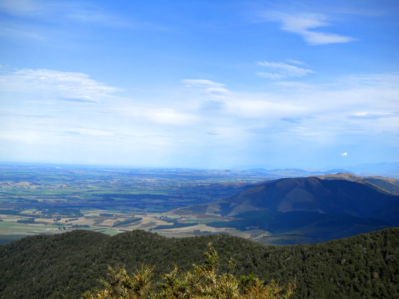
| Banks Peninsula from the top of Mt Thomas |
From Wooded Gully to Mt Thomas
There are several tracks to the summit of Mt Thomas, you can do this circuit in either direction. I walked in a clockwise direction but you may suit yourself. The Summit Track is steeper than the Wooded Gully Track which informed my decision.
 |
| Mt Thomas area topo map |
I parked the car at the Wooded Gully car-park, there is also a DOC camp ground in the area on a river terrace next to the track entrance. It was fairly busy on the day as it was a long weekend.
 |
| Wooded Gully car-park and the Red Beast |
 |
| DOC track board for Thomas Forest |
 |
| Main DOC track sign at Wooded Gully |
The track's start from the far side of the clearing shown below, you can just see the DOC track signs from the edge of the clearing.
 |
| Picnic area at start of Wooded Gully track |
 |
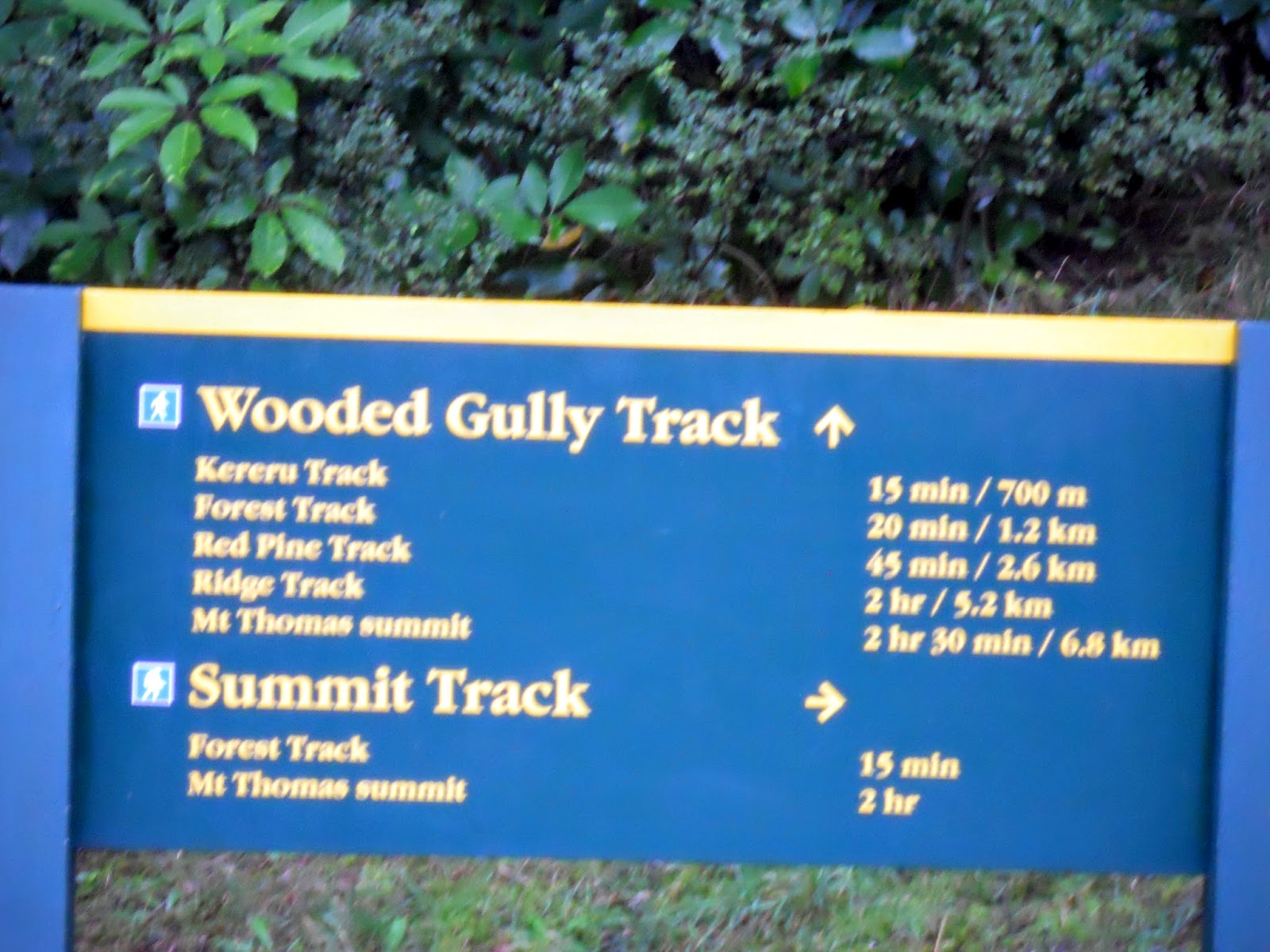
| Mt Thomas track network |
 |
| DOC track sign at Wooded Gully |
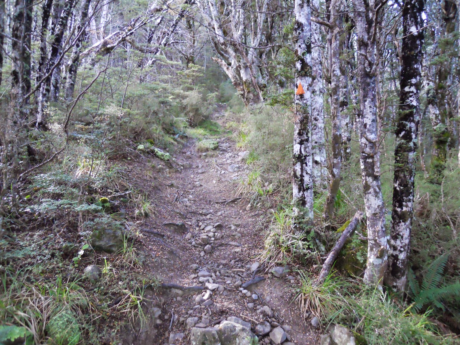
The track is nicely maintained for about the first kilometer or so it then deteriorates into your typical rough as guts back country track.
 |
| Groomed early section of Mt Thomas Track |
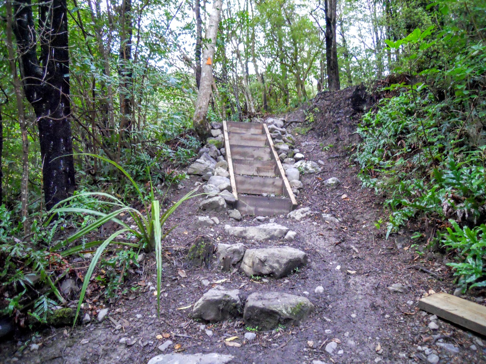 |
| Steps along the Mt Thomas Track |
 |
| Bridge over the Wooded Gully Stream |
The first track junction gives you a track to Mt Thomas (left) or the Waterfall Track (right). This is also the way to the Summit Track if walking in a anti clock wise direction.
 |
| First track junction on the Wooded Gully Track |
 |
| DOC track sign, Wooded Gully Track |
As you can see the track has started to deteriorate and assume the usual character we know and love...
 |
| Wooded Gully Track, Mt Thomas |
 |
| Wooded Gully Track/Waterfall junction |
The target for this climbing is the saddle at the head of Wooded Gully, the track crosses from side to side of the valley following the line of least resistance.
 |
| Wooded Gully: target saddle is at head of the gully |
You are mostly in the forest so this is one of the few views of the plains you get until you reach the Ridge Track at the head of the valley.
 |
| View back towards Canterbury Plains from Wooded Gully Track |
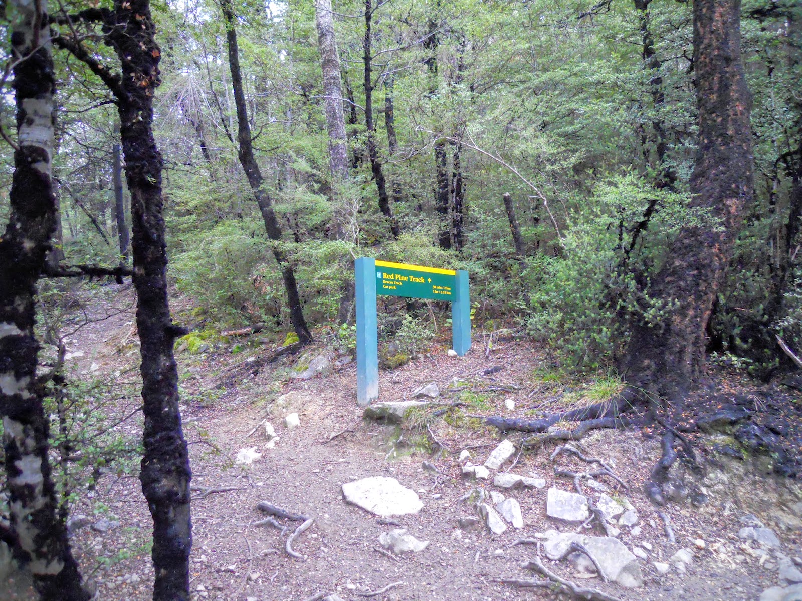 |
| Wooded Gully Track/Red Pine junction |
 |
| Regrowth near windfall trees on Wooded Gully Track |
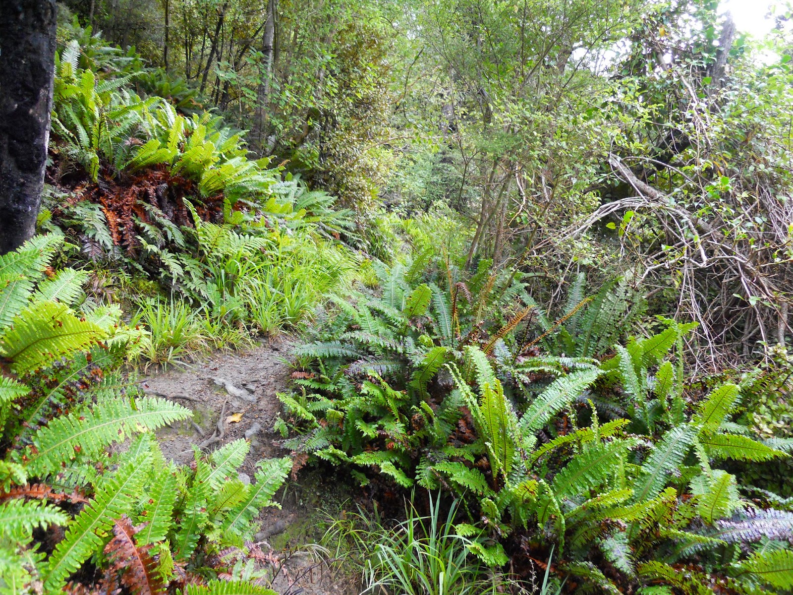
The track is steep in places and there is a degree of mild rock scrambling involved, it is a far cry from the well manicured lower reaches of the track.
 |
| Steep section of Wooded Gully Track, Mt Thomas |
 |
| View of spur that Summit Track descends |
The upper reaches of the Wooded Gully are quite dense and thick: almost reminds me of West Coast tiger country...
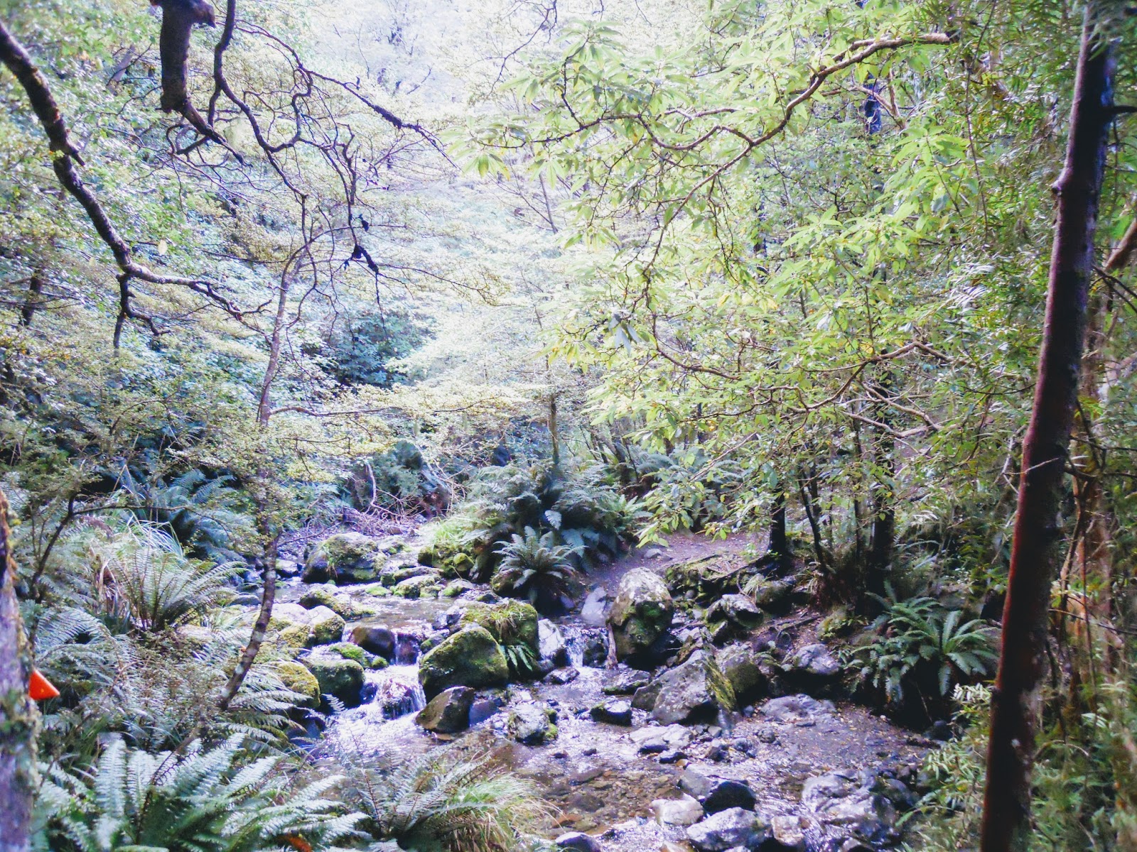 |
| Upper reaches of Wooded Gully Stream |
 |
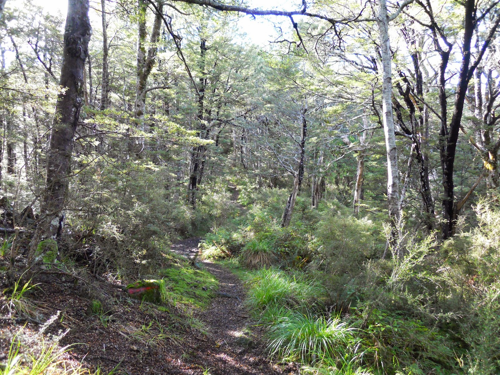
| Ascending towards Ridge Track |
The top end of the Mt Thomas track switches between steep, root covered track and stream bed acting as a track. This section was muddy and windy as there were strong gusts being channelled up the valley and over the saddle.
 |
| Large Totora tree on Wooded Gully Track |
 |
| Wooded Gully Track : approaching the saddle and Ridge Track |
Eventually you reach the saddle and Ridge Track: turn right for the summit of Mt Thomas and left to follow the old No. 2 track back down to the car-park (3-4 hours).
 |
| Ridge Track sign near Mt Thomas |
 |
| Moving East along the Ridge Track |
 |
| Ridge Track: Climbing towards Mt Thomas |
 |
| Start of the ridge top plateau, end of the bush on Ridge Track |
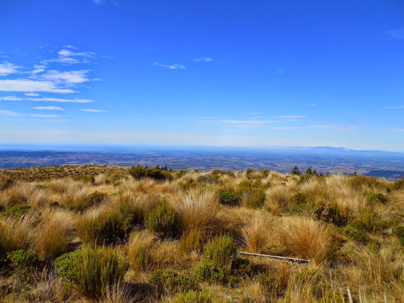
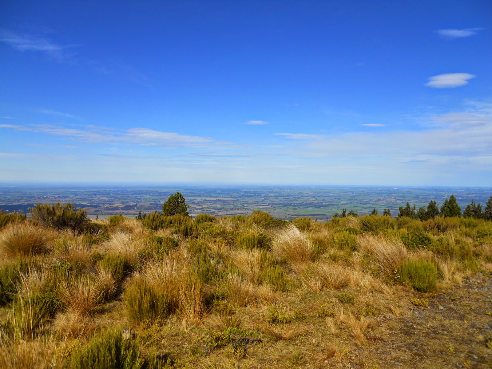
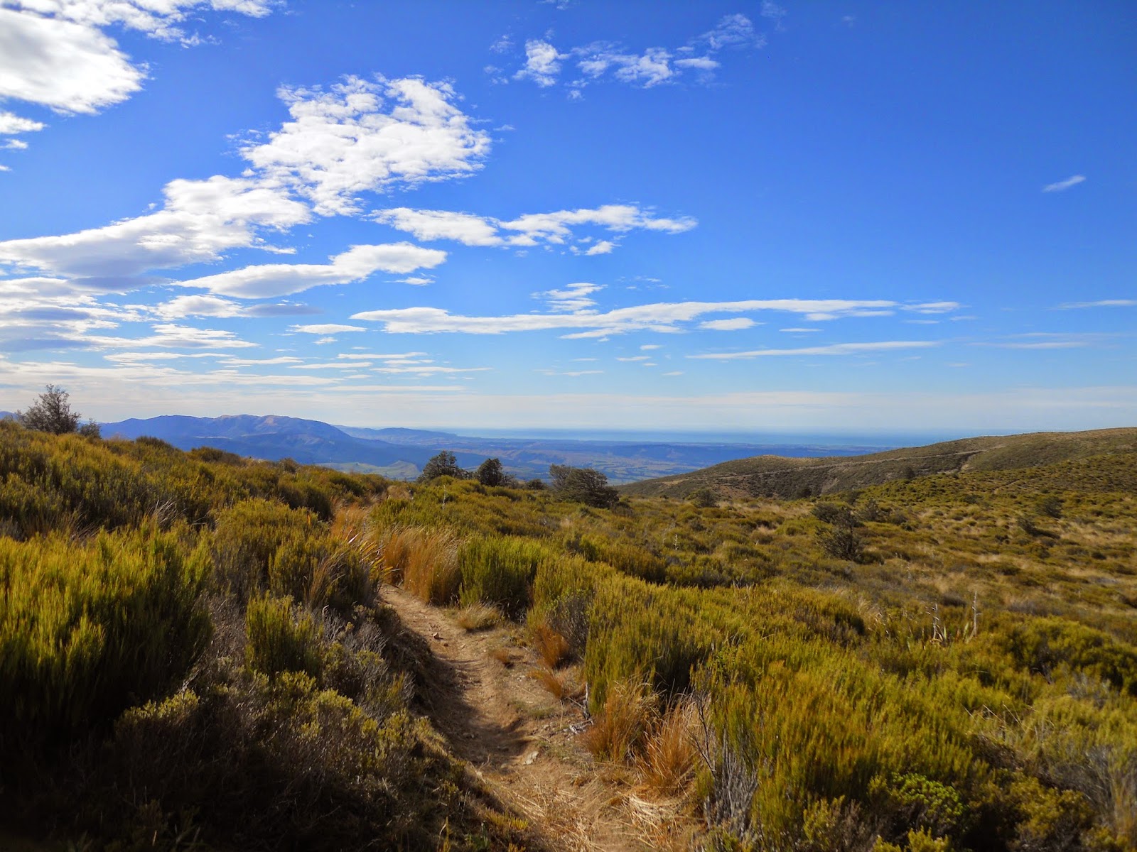
Once you reach the open terrain along the top of the ridge there are excellent views of the Canterbury Plains out to the south east. The track is well maintained easy walking, it only took 20 minutes to walk from the edge of the forest to the summit of Mt Thomas.
 |
| Mt Richardson from the Ridge Track |
 |
| Canterbury Plains and Banks Peninsula from near Mt Thomas |
 |
| Ridge Track: view south towards Oxford Township |
 |
| View towards Mt Richardson area from Ridge Track |
 |
| Mt Grey in the distance from Ridge Track |
 |
| View along Ridge Track to Mt Thomas |
 |
| Ridge Track: Approaching storms from the West |
 |
| Ridge Track, towards Mt Thomas |
 |
| Nearing the summit of Mt Thomas |
 |
| View down Ridge Track from Mt Thomas |
 |
| Ridge Track:: Ridge/Summit Track sign |
You eventually reach the summit, it is a broad flat plateau with a trig and radio repeater on the top. I had planned to stop here for lunch but the strong cold wind gusts put paid to that idea.
 |
| Summit of Mt Thomas |
 |
| DOC Mt Thomas sign |
The access road up the rear slope of Mt Thomas is a well used route for out MTB brethren, it could also be walked but would be a long, dusty and fairly uninspiring tramp.
 |
| 4 W/D access road to summit of Mt Thomas |
 |
| Mt Grey from Mt Thomas summit |
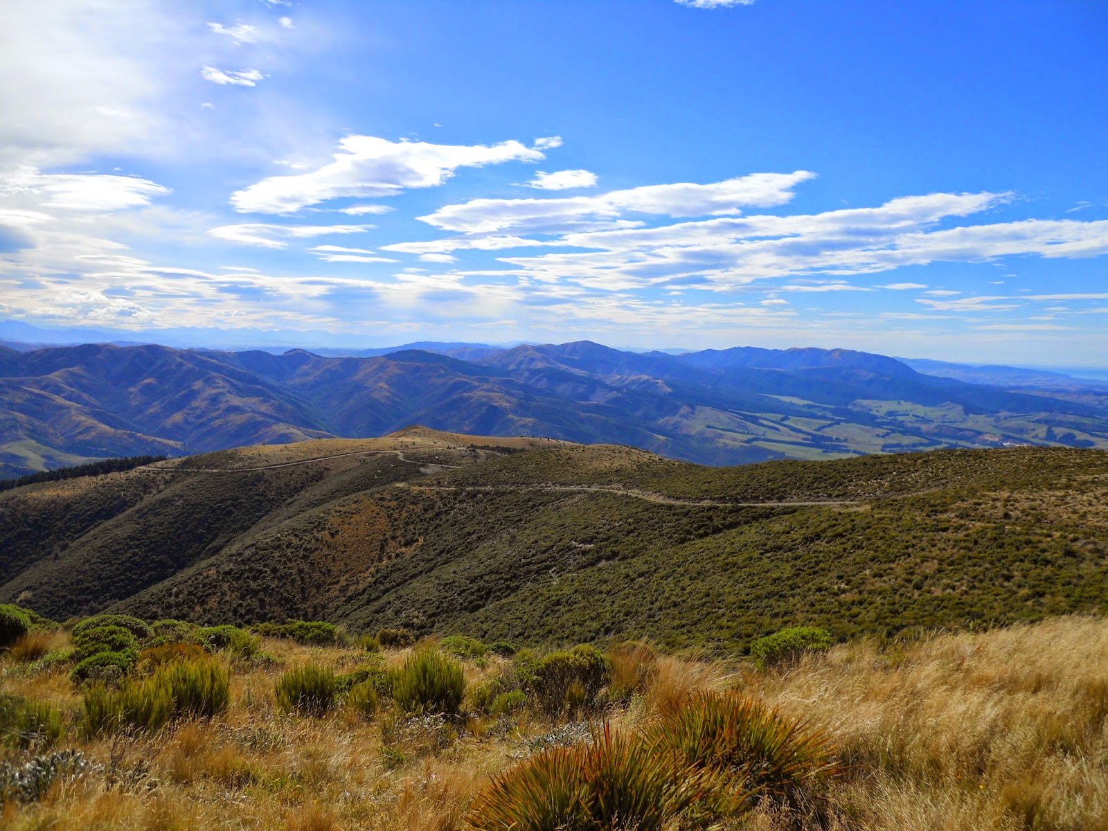
Spectacular views of the Canterbury Plains from the summit as well as into the Lees Valley and the ranges further to the West.
 |
| Pegasus Bay and Banks Peninsula from Mt Thomas summit |
 |
| View south from Mt Thomas |
 |
| Mt Thomas trig |
I was mildly worried about the dark cloud on the horizon but luckily the rain did not start until I was on my home down the access road so no need for the wet weather gears.
 |
| View of incoming Nor'Westerly storm from Mt Thomas |
It is difficult to see in the photos but it was really windy with strong, cold wind gusts blowing across the summit: I did not dally for long as it started to get cold.
 |
| Jon resting on the Mt Thomas summit |
 |
| Jon on Mt Thomas |
Mt Thomas summit to Wooded Gully
The descent back to the car-park starts with a 10 minute walk down a 4 W/D track before the track branches off and heads down a spur covered in exotic pines.
 |
| Start of 4 W/D track to Summit Track on Mt Thomas |
 |
| Mt Thomas: turn off to Summit Track |
The Summit Track is an old bull dozer track which descends one of the spurs leading down from Mt Thomas. It is steep but easy travel...
 |
| Start of Summit Track, Mt Thomas |
 |
| View back towards saddle on ridge from Mt Thomas Summit Track |
The view below is of the ridge I had climbed up earlier in the day, the Wooded Gully Track gradually climbs along the ridge before crossing to the other side of the gully and rising steeply to the saddle.
 |
| Wooded Gully ridge from Summit Track |
The lunch of tramping champions: tuna, crackers and water enjoyed al fresco...is there anything finer!
 |
| My lunch: Crackers, tuna, snacks and water |
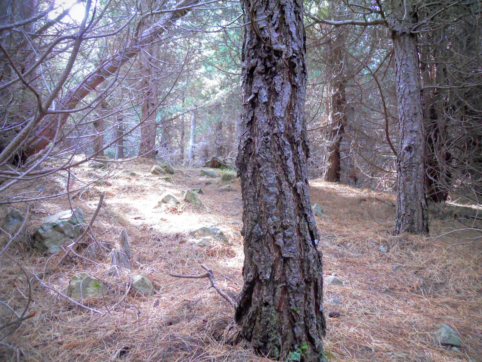 |
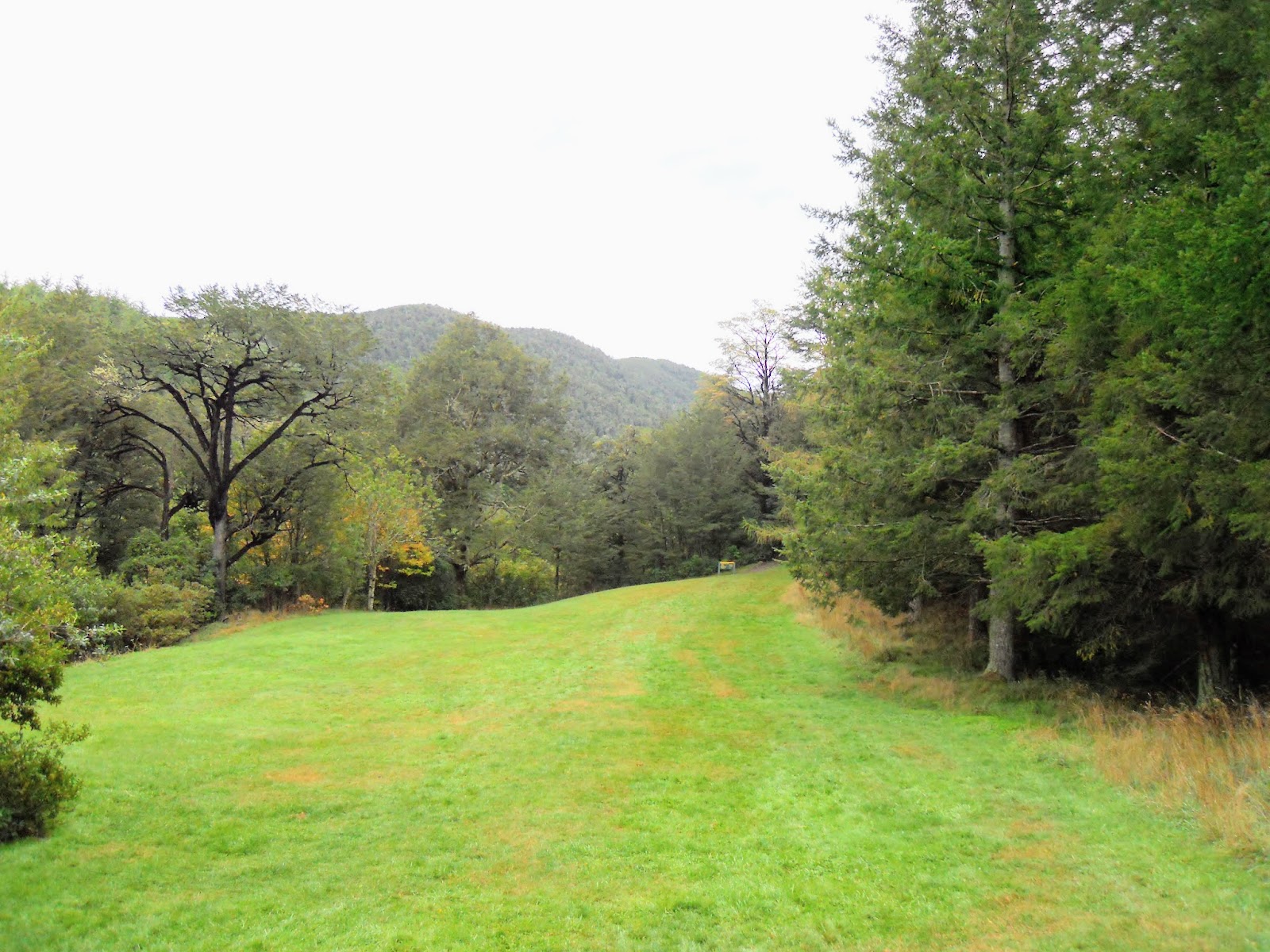
| Forest near my lunch spot on Mt Thomas |
The track down through the exotic plantation is very nice, although steep. I passed 12 people making their way up the slope, this is obviously the preferred way to the summit.
 |
| Mt Thomas: descending the Summit Track |
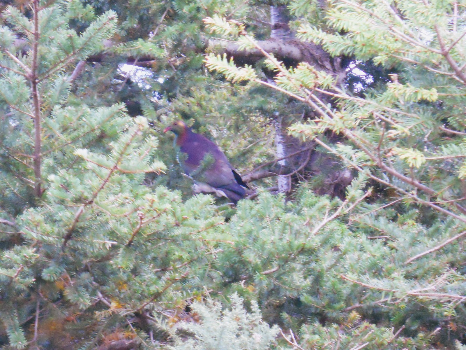
I had a particularly fat Keruru following me along the track for some distance, I also saw some Fantails, Quail and some other exotic birds. There was a lot more bird life in the exotic forest than in the native area's.
 |
| Keruru or wood pigeon I passed on the Summit Track |
 |
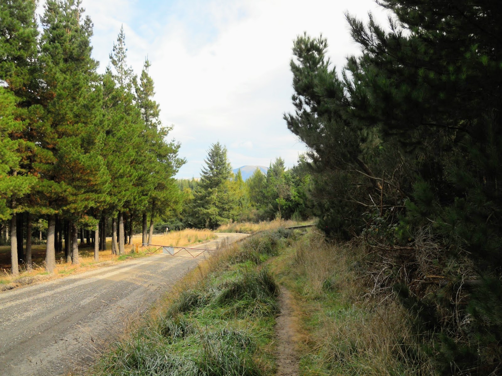
| Forestry road near end of Summit Track, Mt Thomas |
The final section of the track follows alongside the forestry road, before dropping down to the car-park and camping area.
 |
| Mt Thomas: last section of the Summit Track |
Another excellent day trip and another mountain off my list of peaks to tramp on. I really enjoyed the juxtaposition of the native and exotic forest, it is almost two tramps in one.
Access:Wooded Gully picnic area is about 65 km north-west of
Christchurch and is reached either from Oxford or Loburn.
From Oxford continue on the road past Ashley Gorge and
the Glentui Bush Road turn-off to Hayland Road, a further
5 km on. From Loburn, take the signposted road to Oxford
for about 16 km to the Hayland Road turn-off. Wooded
Gully picnic area is about 4 km away at the end of Hayland
Road.
Track Times: From Wooded Gully car park, 1.5-2 hours to Ridge Track, 1 hour along Ridge Track to Mt Thomas, 1.5 hours to car park on Summit Track: 4-5 hours total
Miscellaneous:Moderately steep tracks in places, no potable water source along any of these tracks, Ridge Track exposed to weather.