A visit to Oxford Forest and Wharfedale Hut
My latest trip was a weekend jaunt into the Wharfedale Hut in
Mt Oxford Conservation Area, it was a good trip despite some rain I had on the way out on Saturday morning. It is a bit of a long walk as Wharfedale Hut is 14.6km away from the car park. Luckily the track is mostly flat, as it sidles gently
along the side of the ridges in the area.
 |
| Wharfedale Hut, Mt Oxford Forest |
Day One: To Wharfedale Hut from View Hill car park:
I left the car at the View Hill car park which is accessed up a long gravel road to the West of Oxford township. Here is a view from the car park to the South West.
 |
| View to South from View Hill car-park |
 |
| Wharfedale Track: View Hill car park to Wharfedale Saddle |
There were low lying misty clouds on both days, it was also 20 degrees on the Friday. Muggy!
 |
| The red beast at View Hill, Oxford Forest |
Here is the trusty Honda parked at the View Hill car park, the access road is fair, there are two fords that can become flooded with heavy rain. There are a number of farm gates to open on the way...make sure you close them behind you. They caused no problems during my trip.
 |
| Access road leading to View Hill, Mt Oxford Forest |
View to the East showing the access road leading off to the left of this photo.
 |
| Start of the Wharfedale Track at View Hill car park |
Here is the beginning of the Wharfedale Track, the track rises slowly to a saddle at 750m, 10 km's distant from the car park. The Wharfedale Track is widely used by the MTB fraternity, the bikers ride out for day & overnight trips.
 |
| Oxford Forest track map, View Hill car park |
A closer view of the DOC sign at the beginning of the track, this is the access point for a number of huts/tracks in the area as well as several forested valleys.
 |
| Wharfedale Track: 4w/d section |
The track climbs very gradually from the car park, first along a 4WD track, later the track assumes the usual back country form (rocks/roots/overgrown etc.).
 |
| Wharfedale Track: In the beech forest |
Here I am about 1 km in, the track is fairly wide and clear at this point, the Wharfedale was originally surveyed and benched as a possible road into the Lees valley. Ultimately the route proved too costly and rugged to fill this purpose.
 |
| Wharfedale Track: Junction to Ryde Falls, Coopers Creek |
The first DOC track sign, as you can see this is an access point for a lot of tracks.
 |
| Jon on the Wharfedale Track |
Here I am near the track junction, it was an overcast day and slightly cool, great weather for a tramp.
 |
| Wharfedale Track: Sidling the ridges |
It is a great track, it would be good on an very hot day as it is shady with a border of beech trees on both sides. The track is well maintained for the most part, packed gravel and small stones reflecting its primary use as a MTB track.
 |
| View Hill carpark from further up the Wharfedale Track |
A view back towards the car park, about 2 km's in, the car park is at the base of the exotic forest in the centre of the photo.
 |
| Wharfedale Track: One of the foot bridges |
You cross a number of small bridges built on the track, they span deeper gullies, here are two photos above and below of different bridges.
 |
| Wharfedale Track: Another footbridge |
Below are a series of photos showing the track and surrounding area. The forest around Oxford is infested with wasps, all you hear all day is the drone of them. You have to be careful where you stand/sit/touch to save yourself from a sting. I carry antihistamine tablets in case I or someone else has a reaction to them.
 |
| Wharfedale Track: Nice easy gradient |
 |
| Wharfedale Track: Slightly rougher conditions |
A view out towards the Canterbury plains, no visibility that day.
 |
| To towards Christchurch from the Wharfedale Track |
 |
| Wharfedale Track: View down into the Forest |
Below is a view up towards the saddle and part of the Mt Oxford Massif from a point about 1.5km's away, the saddle is just to the right of the rise in the centre right.
 |
| Wharfedale Track: View of Mt Oxford from the track |
Below are more views of the track, the condition and maintenance of it varies along its length.
 |
| Wharfedale Track: Just before the saddle |
 |
| At Wharfedale Saddle, Mt Oxford Forest Park |
After about 3.5 hours you arrive at Wharfedale Saddle, the high point (750m) on this particular trip. The track descends from this point down to the Dobson creek, in the Lees Valley catchment.
 |
| Wharfedale Saddle, you could camp here- no water! |
As you can see there is plenty of room for a camp near here unfortunately there is no water source, so you would need to fill up before you reach this point. The closet water source would be the creeks about 1 km either side of the saddle. Lots of wood for a fire because of all of the windfall laying around. It would a nice sheltered spot for a camp.
 |
| Jon arrives at the Wharfedale Saddle, Oxford Forest |
Hey fashion Jon changes his outfit wow that is a great seasonal look Jon me boy....!
(Actually the sun came out and it got too hot so I changed into short sleeves).
 |
| Jon at Wharfedale Saddle en-route to Wharfedale Hut |
 |
| Map: Wharfedale Saddle to Wharfedale Hut, Oxford Forest Park |
 |
| Dobson Creek from the Wharfedale Track |
A view down into the valley from close to the saddle, the hut is still 2 hours from this point (but it is all downhill). The West side of these foothills are more densely covered than the Eastern side, the turn of the century timber milling never reached this far.
 |
| On the Wharfedale Track: half way down Dobson Creek |
The hut lies at the mid point between these two descending ridge lines, in the centre of
the above photo.
 |
| Crossing a side creek 5 minutes from Wharfedale Hut |
There is a track junction about 2 km's from the saddle with one track leading to Wharfedale Hut and the other climbing to
Black Hill Hut.
 |
| First view of Wharfedale hut as you step out of the forest |
 |
| Wharfedale Hut (1965?) |
Eventually you arrive at
Wharfedale Hut, it is a 8 person hut with wood fire, bunk platforms and bugger all space around it. Your water source is the Dobson Stream which is down a short track to the right of the hut.
 |
| Back view of Wharfedale Hut |
There is limited space around the hut for tents, you would be far better to camp down by the river (Dobson Stream) as you would be closer to the water source and it is quite picturesque.
 |
| Track down to Dobson Stream, near Wharfedale Hut |
There is a fine deep swimming hole just downriver which makes for a
great clean up spot at the end of the day. (Obviously, I indulged ;)
 |
| The swim-able pool in Dobson Creek, near Wharfedale hut |
Here is a view of the track heading down to the river. Below are two views of the hut surrounds, the balcony and a view to the North East of the hut.
 |
| Wharfedale Hut: the porch at the front of the hut... |
 |
| View of the Black Range from the Wharfedale Hut porch |
The hut is tidy but could use more ventilation (there are no opening windows in the hut). Because of the enormous number of wasps and sand-flies in the area you have to keep the door closed. I cooked my dinner (steak/peas/mash/gravy) outside to save myself from the fumes.
 |
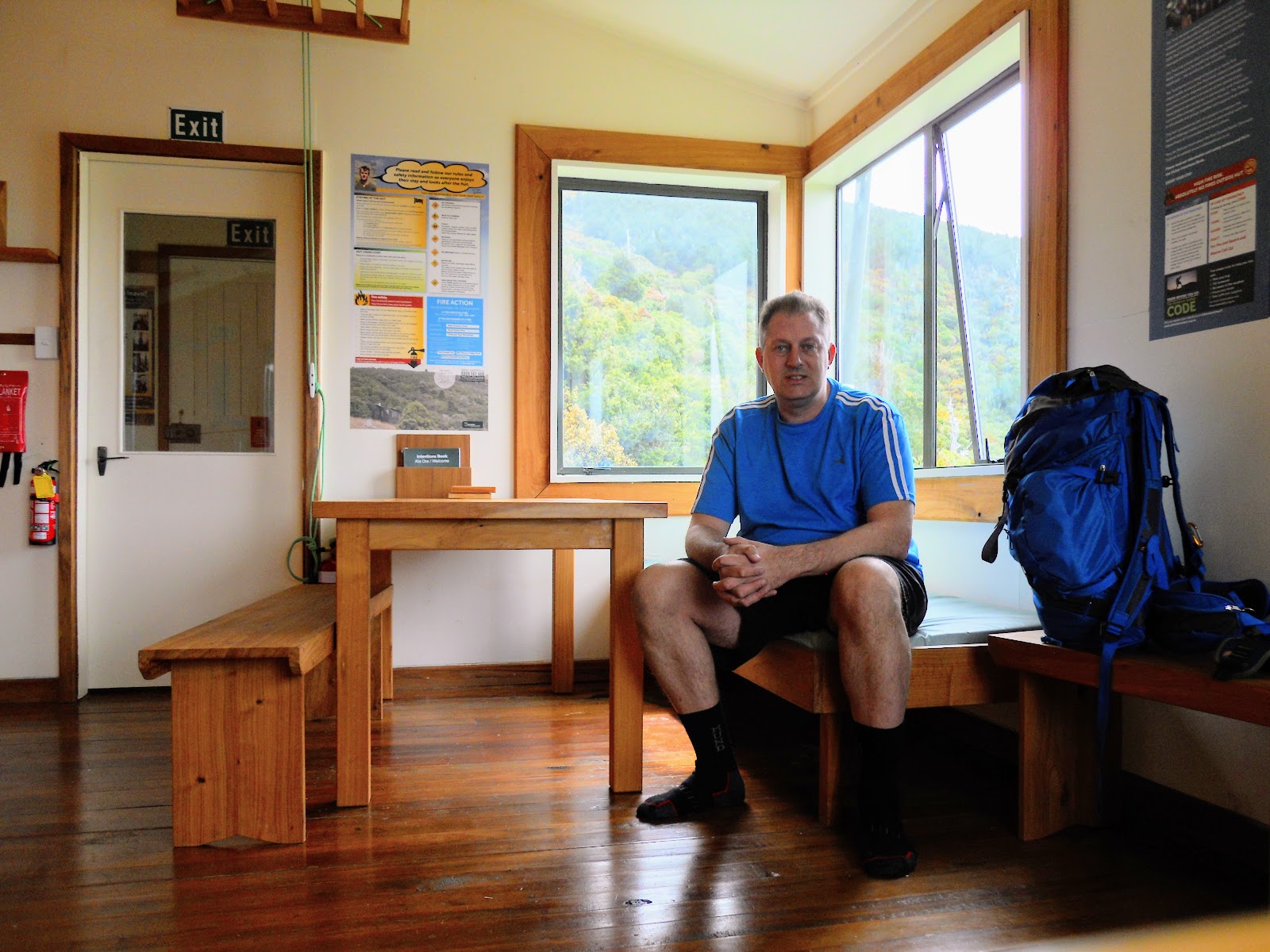
| Interior of Wharfedale Hut: Sleeping platforms, benches |
 |
| Interior Wharfedale Hut one of the two cooking benches |
The hut has one of those superb fire boxes (really hot once you get them going), not needed the night I was there. The hut sees a lot of use, both for day trippers and overnight. I had the hut to myself but there were 10 people there the previous Saturday.
 |
| Flowering beech tree, Wahrfedale Hut area |
There is a
beech mast on this year, so all of the beech trees are covered in seed heads like the above.
(About every 10-15 years the beech trees produce seeds which fly away in the wind, sometime in later February/early March there will be billions of these seeds flying around, it is spectacular to see. Unfortunately, there will also be a massive population explosion of rats/mice/possums because of this food source.
DOC have already started intense poisoning programs to try and mitigate the problem, that's why you don't import exotic animals into a pristine environment (you colonial dopes!).
Below are various views of the hut interior.
 |
| Reading material in Wharfedale Hut, my cook stove on bench |
Hey folks, s'up!!!
 |
| Jon inside Wharfedale Hut...Canterbury Foothills |
 |
| View of Black Hill from the Wharfedale Hut window |
I spent the night at the hut, it was very warm inside, the hut really needs better ventilation to make it more habitable.
Day two: Back to the Wharfedale carpark
I set off home the next morning at around 4:30am, there was light rain falling and I was worried about possible rising creeks you must cross on the access road. In the event, they were only marginally higher than the previous day.
 |
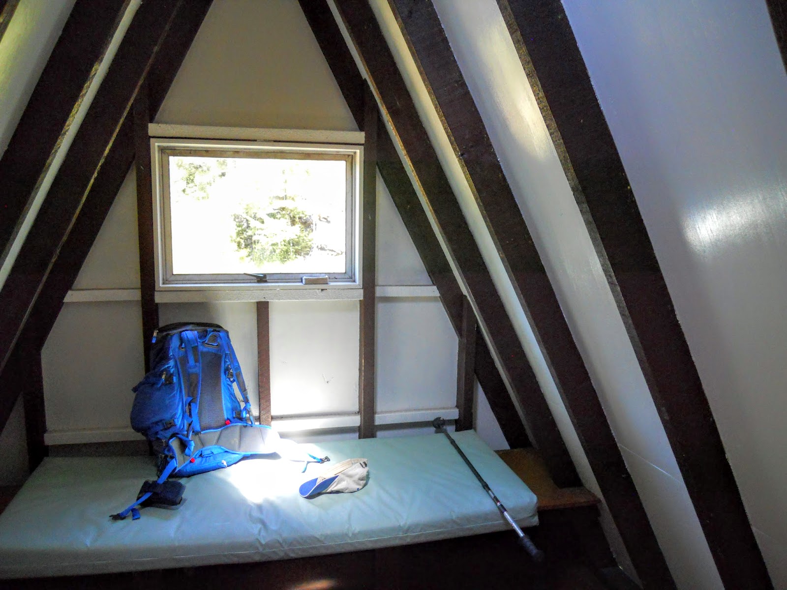
| My sleeping position in Wharfedale Hut in the morning |
 |
| Usual DOC warning signs inside Wharfedale Hut |
I walked in the dark for about an hour and a half until day break; it's interesting walking at night as your senses work differently. You have the cone of light from your head torch, other than that all is black your ability to see is diminished. Sounds are amplified and your sense of smell is better. You rely on touch/feel/sound & smell a lot more. I really enjoy it, the distance just seemed to fly past.
 |
| On the Wharfedale Track at first light, near Wharfedale Saddle |
Sunrise was just as I reached the high point at the saddle so it was mostly downhill to the car from there. There are not many photos from the second day, because of the rain I left my camera in my pack.
(rain+ digital camera= pile of worthless junk)
 |
| View Hill car park on the second day...misty!!! |
This is what the last day was like (misty drizzle) but still good tramping weather when you are heading home to a warm shower and real food!
 |
| View down access road from View Hill car park |
I enjoyed this trip especially walking out in the rain and dark (adventuresome!). I shall be back but next time I will take the other track up to Black Hills Hut and stay for a night.
Access: From Oxford- Depot Rd to Woodstock Rd, turn into Ingram's Rd, turn into Limeworks Road, turn into Wharfedale Track Rd.
Track Times: 4-5 hours to Wharfedale Hut Hut via Wharfedale Track from car park
Hut Details: Wharfedale Hut: standard, 12 bunks, wood burner, water from stream, wood shed, toilets
Miscellaneous: Some un-bridged side streams, access road has two fords, these can be impassable in rain


