Showing posts with label St James Homestead. Show all posts

Friday 9 October 2020

Hanmer Adventures: 2 of 3: A visit to the St James Homestead

 Into the Clarence Valley.....

When we decided to visit Hanmer our original plan was to go for a day walk up to the summit of Mt Isobel. I have been to the summit several times now but Karen has never been to the top before. Unfortunately it was extremely windy on the three days we were in Hanmer with +100 kph winds every day. 


The Clarence Valley Road from near Jacks Pass, Mt Isobel, Hanmer (2014)

We did try...we drove up to Jacks Pass and the western approach to the summit of Mt Isobel to see what the conditions were. We were dissuaded by the hunks of tussock, branches and dust blowing past the car and the fact that we could hardly open the car doors at 800 meters asl when the top of Mt Isobel is at 1320 meters asl.

Jacks Pass on the Clarence Valley Road (2014)


Since we were already there I suggested to Karen that we just continue down to the old St James Homestead for a bit of a look around. I have been through the Clarence Valley several times while I was in the Army but Karen the St James is another new area for Karen. 


Map: St James Conservation Area: Jacks Pass to St James Homestead


We often did Army driving and communication exercises in the backcountry areas between Hanmer and St Arnaud along the Rainbow Road. We also drove through nearby Molesworth Station a couple of times which is also amazing bleak and beautiful country. 

Memorably, I was part of a 'keep the troops occupied' group exercise that had us walking from Fowlers Pass up the Waiau Valley and over Waiau Pass into Nelson Lakes NP. That trip and walking the Heaphey Track were two of the fondest memories I have of my Army days. 

The last time I was in the Clarence Valley was in 1991 so nearly thirty years ago....man am I old!!!


Jacks Pass: Jacks Pass Track to the top of Mt Isobel (2014)

We headed along Clarence Valley Road from the car park on Jacks Pass,...it is a narrow gravel road from here to the St James Homestead about 10 kilometers into the Clarence Valley. The road is right next to the Clarence River and there are a number of lay-bys where you can pull over to get down by the river. 

They run rafting trips down the Clarence River but take care if swimming here as the water is icy cold, deep and swift. This is real 'New Zealand death' territory so don't be blaise about messing around with these rivers. 


On Tophouse Road heading for St James Homestead


The road is in good condition...passable by a two wheel car to the St James Homestead. Do take care as there are a number of pot holes, ruts and rougher spots you need to negotiate. In particular the approaches to the bridge at the Clarence Valley Road and Tophouse Road junction are very rough. 


The bridge at the Tophouse-Clarence Valley Road junction...

There are a series of buildings at the St James Homestead site...the oldest are an old musterers hut and outbuildings from the 1920's. They are no longer used but at one time this was the station house for the family that owned this farm. You can walk around them and look into the interior to see how bleak life must have been in those days isolated on this dry and barren backcountry station. 


Historic St James Homestead buildings, St James Conservation Area


St James Station was brought by the Nature Heritage Fund and DOC in the early 2000's and they have invested a lot of cash and effort into opening the land to recreational groups. The main attraction is of course the St James Cycle Trail but there are also tramping, fishing, horse trekking, rafting, hunting and off road driving opportunities in the area. 

Parts of the station are still in use with livestock present so there is a resident farm staff at the St James Homestead site though you will seldom see them as they are busy. 


St James Homestead, St James Conservation Area

The newer station house built in the late 1970's is currently set up as a backcountry hut and is used by a Hanmer based company Pukatea Trekking and Adventures. They run horse trekking expeditions in the area over the summer months and I believe the station house can be rented out as accommodation for a fee. The building is locked as this car park can be reached by road but you can see into the hut through the many windows. 


St James Homestead door, St James Conservation Area

Rear of St James homestead, St James Conservation Area


St James Homestead, St James Conservation Area


Side view of St James homestead, St James Conservation Area

It is well set up inside with tables, a wood burner, and separate bunkrooms with a mixture of bunkbeds, platform beds and single beds. I would estimate you could get 12-16 people into the hut. It has a wood burning stove in the kitchen and water from a set of water tanks at the back of the hut. 


St James Homestead kitchen, St James Conservation Area


St James Homestaed, bedroom 1, St James Conservation Area

St James Homestead bunkroom, St James Conservation Area

The building is set in a patch of exotic trees and on a nice clearing right next to the carpark. There are some contact details for Pukatea Horse Trekking in the front window of the building and they are one of the few official DOC accredited businesses allowed to operate in the valley. 


Nice surrounds for the St James Homestead

Contact details for the St James Homestead

Out the back of the cottage are some historic dog boxes once used to house the working dogs that are such a feature of these backcountry stations. You can also look at the foundations of the original homestead from the 1890's that burnt down at some stage. 


Dog boxes at the St James Homestead

The foundations of the original St James Homestead (circa 1890's)

This is not the actual start of the St James Cycle Trail but the Peters Valley Track starts from here and joins the actual trail a couple of kilometers down the valley. We watched a couple of MTB riders organise their gear and set off down the track. There were a number of cars in the car park with bike racks so I imagine this is what most visitors do. 

You can do a 1-3 hour circuit of this end of the cycleway by riding down the Peter Valley Track, going onto the Edwards Pass Track and then riding back down Tophouse Road to this carpark. That would be about 13 kilometers in all and it is known as the St James Circuit.  


Start of the St James Cycleway at the Homestead

Tophouse Road continues into the Clarence Valley

I have a plan to revisit this area sometime in late summer 2021...I would walk from the Boyle Valley up over Anne Saddle to Anne Hut. Then walk down the Henry Valley to near Ada Homestead where I would pick up the McArthur Track down to Pool Hut. Then it is over the McArthur Bridge to the St James Cycle Trail up and over Edwards Pass to the St James Homestead.

It would be a 4-6 day tramp with nights spent in Boyle Flat Hut, Anne Hut, Pool Hut (recently restored) and finally somewhere near St James Homestead. It is a walk or hitch from there back to Hanmer over Jacks Pass. I have been thinking about it for a couple of years now but the weather usually stymies my plans...Maybe this will be my year!!!


View down the Henry Valley from near Anne Hut (2015)


Looking down the Waiau Valley from near Ada Homestead (2015)

After we had a good look around we jumped back into the car and headed back to Hanmer and our date with the hot pools. It takes about 35 minutes to drive back to Hanmer over the pass and you need to take care as a lot of traffic including MTB riders use the road. 

The Clarence Valley Road down to Hanmer Springs (2014)

If you are ever in Hanmer Springs with a couple of hours to spare and the Clarence Valley Road is open you should think about taking a drive over to check out the St James Homestead. 


Access: From Hanmer Springs head west out of town on Jacks Pass Road, turn on to Clarence Valley Road just past the golf course. From Jacks Pass continue for 12 kilometers to the St James Homestead on Tophouse Road, Clarence Valley
Track Times: Mt Isobel track, 3 odd hours to summit of Mt Isobel, 1.5 hours return to track end on Jacks Pass, 45 minutes to bottom car park.
Miscellaneous: This is an alpine area and the Clarence Valley, Tophouse and Hydro Roads close over the winter months. The roads are navigable by two wheel drive cars to the St James Homestead, after that a 4 W/D vehicle is better. Narrow winding gravel roads, rock fall and snow at certain times of the year. 

Wednesday 7 October 2020

Hanmer Adventures: 1 of 3: Forest Journey, 21 September 2020

 Hanmer Forest Park....the Forest Journey

Karen and I went up to Hanmer for a holiday a couple of weeks ago and while there we did a number of the walks in Hanmer Forest Park. We had originally intended to do the walk to the summit of Mt Isobel but it was extremely windy all three days we were there. Mt Isobel is not the best place to be in high wind so we had to change our plans. 


Carpark for Hanmer Forest Park on Jollies Pass road


Hanmer Forest Park is an awesome asset for the whole township of Hanmer..it perfectly compliments the various other attractions in the area like the hot springs, MTB tracks, off road driving, tramping, jet boating and horse treks. All the activities on offer have turned Hanmer into an outdoor lovers haven and the small village is often full of holiday makers and tourists passing over the Lewis Pass road during summer. 

The forest was an old NZFS trial plantation where they tried a variety of different tree types to see which was most suitable for commercial forestry. Pinus Radiata was the final choice...it had the best combination of features and was subsequently planted right through the country. 


There are wooden object d'arte in Hanmer Forest Park


It is still a working forest but the area between Jollies Pass Road, Fowlers Lane and Dog Stream is now protected due to its historic value. There are a number of tracks through this area all of which are worth while and they range from 20 minutes right up to 2 hours in length. 


Hanmer Forest Park is owned by Raynoier, Matariki and Ngai Tahu Forestry


I really love Hanmer Forest Park and I like to come for a walk in the forest every time I visit the area...


On the Forest Journey Track, Hanmer Forest:

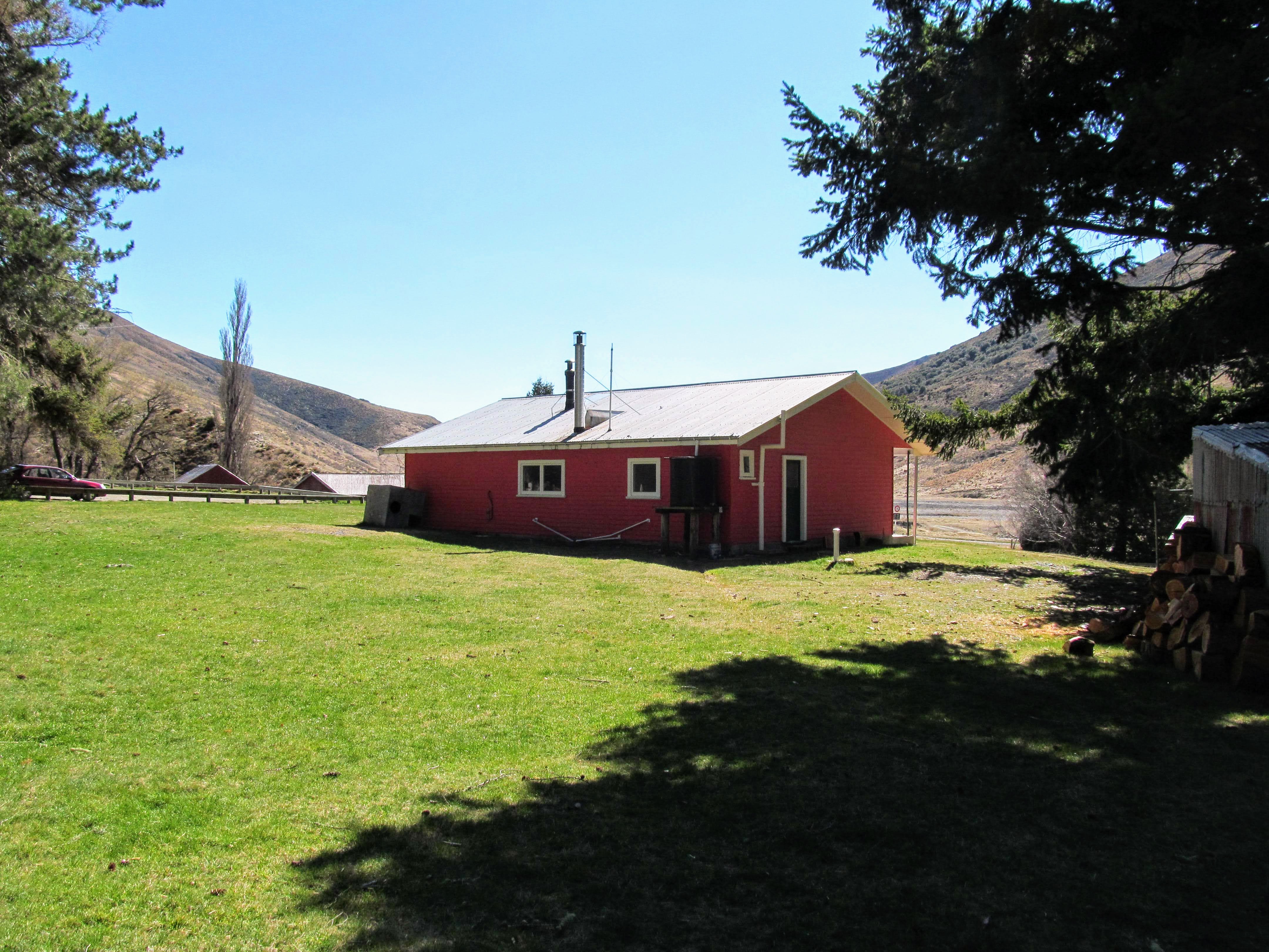
There are a number of tracks on either side of the Jollies Pass Road entrance to Hanmer Forest Park many of which I have previously covered on this site. 

Start of the track network in Hanmer Forest Park

Hanmer Forest Park: Map of the track network

The forest Journey starts alongside Jollies Pass Road

We decided to walk the Forest Journey track which is approximately 3 kilometers long and takes from 1.5 to 2 hours to complete. It is the longest track in the forest and basically follows the outer edge of the plantation on a series of tracks, forestry roads, MTB tracks and lanes. 

All of the tracks on the southern side of the road start at the same place and from here you can choose the length of track you would like to walk and head off along them for as long as you want. You start by walking beside Jollies Pass Road before heading deeper into the forest.

On the Forest Amble in Hanmer Forest Park


There is an ongoing art exhibit in the forest...a series of carved wooden animals, plants and characters scattered along the course of the Forest Amble the shortest of the tracks through the forest. You will see birds, dogs, flora and mythical creatures and they are well executed, interesting and lovely to see.


Hanmer Forest Park: carving of a Fantail

Hanmer Forest Park: the tracks are wide and well maintained...

The forest has many different types of trees including Beech, Willows, Adler, Larch, Pine (various types), Spruce, Firs, Redwood Trees, Macrocarpa, Oak and massive Ponderosa Pine over 30 meters tall. Most were planted between 1900 and the early 1930s so all of them are massive and imposing. 

There are interesting and informative signs everywhere with detail about what type of tree they are, where they are from and when they were planted. They have also started to post signs about the history of the area and the significance of features in the forest.


Hanmer Forest Park: there are a lot of information panels...


Hanmer Forest Park: carving of a Possum...

The tracks are well maintained and easy to follow with a lot of signs along the way but do take care as several people have got lost in this forest before. While the tracks are easy to follow the forest floor is full of dense undergrowth which could easily confuse you...stay on the formed tracks!!!


On the Forest Walk in Hanmer Forest Park

The trees in Hanmer Forest Park are mature...


The three main tracks flow into each other...the Forest Amble becomes the Forest Walk and then becomes the Forest Journey. Keep an eye on the signs to ensure you dont go further than you expected.
 

The tracks are easy to follow and well sign posted in Hanmer Forest Park

Rougher track along the Forest Journey, Hanmer Forest Park

The forestry roads are utilized by MTB riders...


The Forest Journey follows a series of tracks down the western side of the forest...it gets progressively wilder the further you go as it is intended as a more natural and challenging route. We saw very few people in the forest and those we saw tended to be at the front end...this is not unusual as I have seldom seen people when walking the Forest Journey in the past. 


The Forest Walk turns down a forestry road...

The Forest journey continues deeper into the forest...

There are two decent picnic areas in the forest the first is about half way around the Forest Journey in the center of Hanmer Forest Park. It used to be the location of a hut for the forestry workers but is now cleared and has a couple of picnic tables, some benches and a flat grass area to sit in. It is a lovely sunny clearing and would make a nice lunch stop.


Karen walking on the Forest Journey, Hanmer Forest Park

Hanmer Forest Park: arriving at the first picnic area...


First picnic area, Hanmer Forest Park


The Forest Journey Track skirts the picnic area...

We continued on the track as we were going to stop at the second picnic area another 10  minutes down the track. On the way you pass through a grove of Macrocarpa trees at least 25 meters tall. When I think of Macrocarpa I imagine a knurled mess of branches and thick foliage but it is actually an excellent timber tree. 

These ones have been carefully managed and the lower branches removed so they are tall, straight, graceful trees and very attractive to look at...


Hanmer Forest Park: the forest is crisscrossed with roads

An area of large Macrocarpa in Hanmer Forest Park


The Macrocarpa were planted in 1929...

The second picnic area is just past the Macrocarpa Trees and is a single picnic table set in a small sunny clearing. It is next to a trial planting of Cypress Trees so the smell of the trees is strong in the area. 


Approaching the second picnic area, Hanmer Forest Park


For lunch we had a bit of a spread...some filled rolls from the Hanmer Bakery (excellent by the way...great selection and well made products), dried fruit, chips and some cookies. We had stopped at the British food shop in Rangiora on the way out of town so we had some Irish Tayto chips to eat. They are super cheap potato crisps (99p on the packet) but they tasted bloody marvelous...cheese and onion...yum!!!

Karen brought some nice tea from T2 with her so we had a couple of mugs of it to wash down our repast...


Hanmer Forest Park: our lunch spread....

We enjoyed some Tayto chips for lunch....

After about 20 minutes for lunch we set off through the Cypress plantation with a variety of Cypress from all over the world growing here. There is a nice memorial bench along this lane dedicated to one of the people who pioneered the forest tracks as a recreational asset for tourists to Hanmer. 


Hanmer Forest Park: in the Cypress trial planting


Information about the Dawson Drive Cypress trial planting...

A memorial bench in the Cypress grove, Hanmer Forest Park


I had picked up a walking stick near the beginning of the track..an off cut branch from one of the trees and carried it with me around the full length of the track. I left it for someone else to use when we got to the end of the track...


A walking stick I picked up in Hanmer Forest Park


We headed down one of the forestry roads and then along a path through a stand of magnificent Ponderosa Pine trees. Some of these are monsters and over 120 years old which is still infancy for these trees which can live for 1000 years. They are already awe inspiring to stand beneath...I can only imagine how huge they will be in a couple of hundred years time...


Hanmer Forest Park: looking south down Philips Lane...

The tallest tree in Hanmer Forest Park is one of these Ponderosa Pines and it is more than 50 meters tall and 2 meters around the trunk. There are several others over 40 meters tall in this same planting...


In an area of Ponderosa Pine, Hanmer Forest Park


Hanmer Forest Park: information about the Ponderosa Pine


The Forest Journey finishes with a section inside the forest and running alongside Jollies Pass Road. You have an excellent view of Mt Isobel and the hills around Jollies Pass from along here. It was very blustery with a strong wind blowing over the top of the mountains and across Hanmer Plain. 


Mt Isobel from Jollies Pass Road, Hanmer Forest Park

The hills around Jollies Pass, Hanmer

On the Forest Journey Track heading to the carpark...

There is a sign in a grove of Black Pine halfway along the track..the trees were planted by local school children on Arbor Day back in 1964. This is significant as 1964 was the first international celebration of Arbor Day and other school children around the world planted trees on the very same day. 


Historic planting on the first Arbor Day in 1964, Hanmer Forest Park

Hanmer Forest Park...the Jollies Road carpark appears..


We arrived back at the track entrance after walking for just over two hours...it was really lovely in the forest and as always well worth the visit. I love Hanmer Forest and hope that it continues to provide a place to walk amongst magnificent trees for many decades to come. 


Back at the Jollies Pass Road carpark for Hanmer Forest Park


The Hanmer Springs Scout Den on Jollies Pass Road

If you are ever in Hanmer or travelling by on your way to the West Coast....stop and spend some time in the village. There is plenty to do there and make sure you come down and explore one of the many wonderful tracks through this historic forest.


Access: Hanmer Springs is 135 kilometers north of Christchurch on SH 7 the Lewis Pass Highway. From Hanmer Springs Village head east out of town along Jollies Pass Road, the start of the various tracks are 2 km's out of town
Track Times: Forest Journey is 1.5 to 2 hours total (3 kilometers)
Miscellaneous: Toilets, water and map board located at the old Ranger Station/Park Headquarters car park on Jollies Pass Road. There are two nice picnic areas on the way along the track. No toilet facilities in the forest itself. Stay on the marked tracks as people have got lost in this forest before.