At Travis Wetlands after the Covid 19 restrictions...
Karen and I went for a walk around Travis Wetlands on the eastern side of Christchurch over the weekend.
Travis Wetlands Heritage Reserve is an area being restored to its pre-European state with mature native trees, bush and extensive wetland plains for native and introduced birds.
 |
| View over Travis Wetlands with Port Hills in distance |
With the drop to Covid-19 Level 2 we are finally able to start doing some weekend walking/tramping trips once again. So far I have managed a couple of Port Hill rambles and a trip along the beach out to Spencer Park. It is a start...
 |
| Map: Track network in the Travis Wetlands Heritage Reserve |
I'm working my way back to peak fitness for some winter tramping trips I have planned over the next couple of months. Six weeks spent at home being unable to do more than a neighborhood walk have dulled the fitness edges so I need a bit of priming before I can look at any multi hour/multi day trips.
 |
| Travis Wetland: view from the eastern edge of the wetlands |
Winter is usually down time for me but I have missed the summer tramping season and still have a ton of trips to do. It is going to be interesting tramping for the next couple of months with restrictions on the number and type of groups who can use DOC facilities. I envision a lot more tent based trips and shorter day tramps but we will have to see how things pan out...
A circuit of Travis Wetlands...
I love Travis Wetlands...it only takes about an hour to walk around but it is an excellent walk when it is too wet to get up into the Southern Alps or Port Hills. This is my fourth visit in two years but there is always something new and exciting to see in the wetlands. The change in the seasons makes a huge difference to the wildlife you will see and the air of the park.
 |
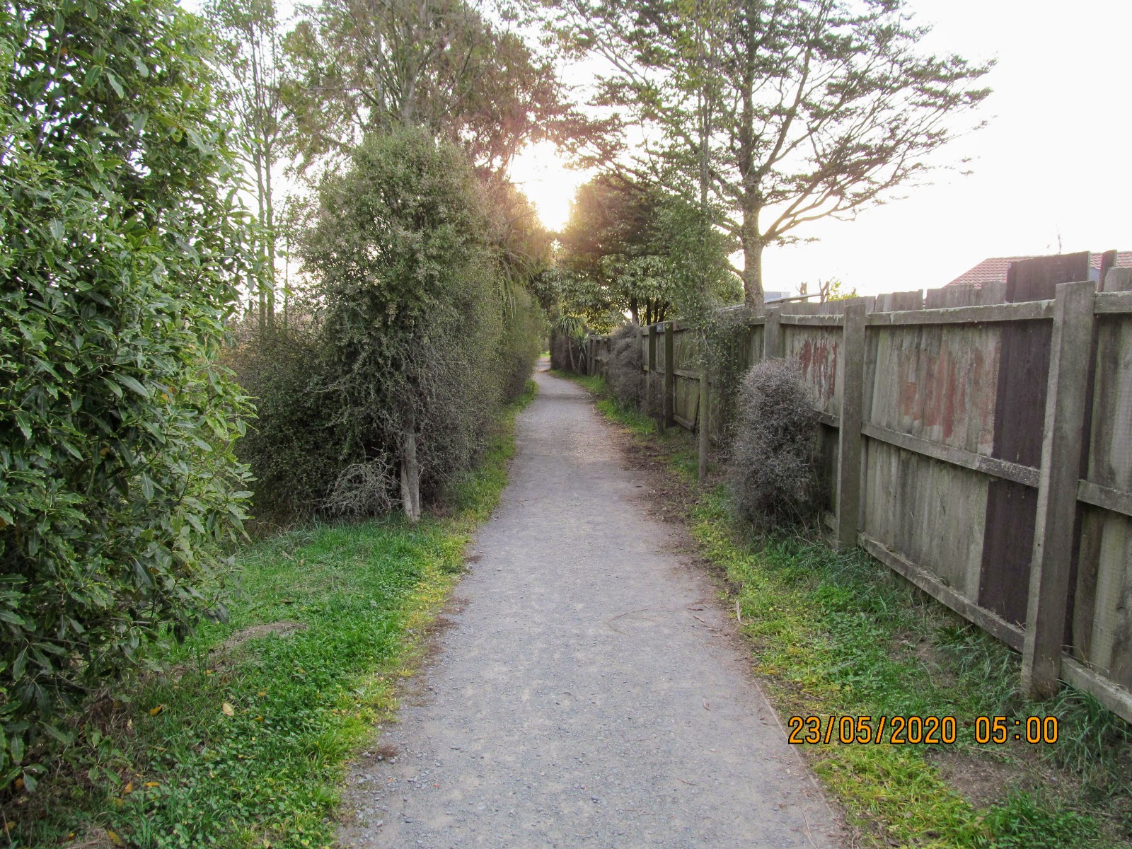
| Travis Wetlands: start of the tracks near the Burwood Road entrance |
 |
| Map and information panel at the Travis Wetlands |
 |
| It was an overcast and dull day at the Travis Wetlands |
A large section of the track on the western side of the wetlands is out of use at the moment as the Christchurch City Council have contractors replacing most of the raised boardwalks. Many of them were damaged in the earthquakes and need to be replaced or strengthened. The section from Mairehau Road to Clarevale Reserve is out of action including the viewing tower.
 |
| The Travis Wetland Diversion...follow the red line through a reserve and school... |
As a result of the track closure you need to take a diversion along some of the local streets to get back onto the track at Clarevale Reserve.
The diversion is thus:
Walk up Mairehau Road to Chartwell Street and then walk down to the Chartwell Reserve - follow the path through Chartwell Reserve and along the back of Waitaiki Primary School to the alley onto Clarevale Street - walk down Clarevale Street to Clarevale Reserve to reconnect with the Clarevale Loop Walkway track.
 |
| Walking along Burwood Road as part of the diversion... |
Once past the park you can re join the Wetlands Walkway so this removes about a kilometre of track from Mairehau Road through to the Clarevale Reserve. the work on this section of track is due for completion by the end of June (according to the notice posted by the contractors) so wait till then if you want to walk the full circuit around the wetlands.
 |
| Rejoining the Travis Wetland tracks through Clarevale Reserve |
 |
| Contractors working on the boardwalk in Travis Wetlands... |
 |
| Back on the Wetlands Walkway on the circuit around Travis Wetlands |
There is a lot of bird species in the wetlands at this time of the year, we saw many ducks, geese and wading birds but also a couple of natives. We had a Fantail following us for some time and I also spotted Hawks, Bellbird's and Silvereye's at different times.
I have noticed a drop in the number of Silvereye recently...they used to be quite common but I have seen less and less of them over the last 2-3 years. Climate change, habitat loss...predation by mice/rats etc? It is hard to know why they are in decline..
 |
| Fantail or Piwakawaka which was following us up the track... |
 |
| Closeup of the Fantail following us around Travis Wetland |
The tracks are looking well maintained so the council have obviously been doing a bit of clean up work over the last couple of months. The Council and the Trust who administer the reserve are equal partners in the maintenance and up-keep of the wetlands tracks and facilities.
 |
| Travis Wetlands: back on the Wetland Walk along the western edge of the park |
 |
| View east over Travis Wetlands from the Wetland Walk |
 |
| The track junction leading to the pathway across the center of Travis Wetlands |
We didn't do the full circuit of the Wetlands as it was getting late in the day so we just walked around the northern half of the reserve. We took the track across the center of the reserve to the bird bind and information kiosk on the eastern edge of the wetlands. A full circuit ads about another 1.5 kilometers to the distance.
The main car-park is located off Frosts Road which is now open during the day so this is probably the best spot for you to leave your car. It is open from 7am-9pm over the summer but i am not sure of the hours over winter.
 |
| Wetlands Walkway to the eastern side of Travis Wetlands |
 |
| Part of the Christchurch 360 Trail runs through Travis Wetlands |
Lots of bird life in the reserve...they are probably sheltering here as the duck shooting season has finally opened for 2020. The predominant species was Grey Geese but we also saw Pukeko, Paradise Geese, Swans, Scaup, Mallards and Canadian Geese.
I was telling Karen that the trust who administer the wetlands have plans to re introduce Weka to the area...they were endemic before European settlement but were quickly hunted to extinction here. I like the idea but I think you would have to fence them in as they like to wander and would end up all over Christchurch.
 |
| A small creek in the Travis Wetlands |
 |
| Warning message about releasing Rudd in Travis Wetlands |
 |
| On the central path to the eastern edge of Travis Wetlands |
We had rain late last week so the wetlands were looking very verdant and well...wet....I know that sounds crazy (a wetland being wet) but it has been super dry in Canterbury over the last 4-5 months. It was great to get some of the dust washed out of the air for a change...bring on the rain I say!!!
 |
| Karen takes a photo of Grey Geese in Travis Wetlands |
 |
| It rained over night so the Travis Wetlands were a bit damp.... |
 |
| Jon in the Travis Wetlands with the Port Hills in distance |
 |
| Flooding in the Travis Wetlands after recent rain.... |
We were heading for the bird bind but stopped along the way and sat on a bench with views out to the bird ponds. It was a bit of a dull day but warm enough at 18 degrees that it was not uncomfortable sitting still for a while.
 |
| Looking out onto one of the bird ponds, Travis Wetlands |
There were lots of people out enjoying the tracks including single walkers, couples and family groups. If you are looking for somewhere cheap to get the kids outside I recommend the wetlands. You can walk for 30 minutes to over an hour it really depends on how far you want to go.
 |
| Information post location on the Travis Wetlands track |
 |
| I shared my Cookie Time biscuit with Peter the Pukeko.... |
There is an excellent bird watching bind near the Frosts Road entrance to the reserve. It has some information panels about the most common avian visitors to the area and you can sit inside out of the elements and spend time looking out over the ponds.
 |
| The bird viewing bind in Travis Wetlands |
 |
| Heading into the bird bind in Travis Wetlands |
 |
| Travis Wetlands: bird types on the wetlands, waders.... |
 |
| Travis Wetlands: bird types on the wetlands, ducks.... |
 |
| Travis Wetlands: bird types on the wetlands, geese and shags... |
 |
| Travis Wetlands: bird types on the wetlands, other species... |
 |
| Interior of the Travis Wetlands bird bind.... |
 |
| Mixed Scaups and Ducks on a pond in Travis Wetlands... |
On the way between the bird bind and the information kiosk we were entertained by the sweet song of a Belbird resting in one of the trees. They are great mimics and can make a variety of sounds and are always a pleasure to listen to. I just managed to catch a not to good photo of it flitting through the trees..they never sit still for long.
Bellbirds are becoming more common in urban settings as their traditional lowland bush habitat declines. I often hear one calling around our home when I am heading off to work over the summer. I also see them at Bottle Lake Plantation and when I am on the Port Hills/Banks Peninsula.
 |
| Travis Wetland: a native Bellbird Karen and I encountered... |
 |
| Plenty of bird life live in the Travis Wetlands |
There is a basic but informative kiosk next to the Frosts Road car park...it has some information panels, maps, photographs and brochures about the history of the Travis Wetlands. There is a list of links there if you are interested in finding out more about the work of the Travis Wetlands Trust and future plans for the area.
 |
| On the path to the Travis Wetlands information kiosk... |
 |
| Information panel in the Travis Wetlands information kiosk |
 |
| Interior of the Travis Wetlands Information Kiosk... |
From the information kiosk you head along the eastern edge of the Travis Wetlands on your way back to the Mairehau Road car park. Along the way you pass the old homestead building and some of the historic farm buildings.
This whole area was once a farm that was saved from development in the early 1980's with the aim of returning it to its original state as a coastal wetland forest.They still run a few head of cattle and sheep on the land as this is actually the best way to control weeds.
Restoration has progressed well but there is still much to be done it is not due to be fully restored until 2200 when the native trees like Kahikatea, Hinau and Totora will be mature.
 |
| On the track along the eastern edge of Travis Wetlands |
 |
| Travis Wetlands education and functions center |
 |
| On the Anne Flannagan Track, eastern edge of Travis Wetlands |
 |
| Entrance to Travis Wetlands from Parklands Road |
There are some good views of the northern end of the wetlands as you walk along this edge of the reserve. This is the least restored part of the wetlands but planting is on-going and new groves of trees and native bush appear every time I visit.
I believe they have plans for some more tracks at this end of the wetlands once the old farm land is restored to swamp.
 |
| Look out over Travis Wetlands from the eastern edge of the park |
 |
| Anne Flannagan Track, eastern edge of Travis Wetlands |
We spotted an exotic invader as we walked along this track...an Aussie import who is a long way from home....
 |
| ...whats that Koala Bear doing 4000 km's from Aus-TRAAA-lia.... |
 |
| Dense planting along the Anne Flannagan Track, Travis Wetlands |
 |
| ...Im not quite sure.......???? |
 |
| Back at the northern edge of Travis Wetlands, Anne Flannagan Track |
Eventually the track deposits you at the northern edge of the reserve...Mairehau Road runs right along the side of the wetlands for a couple of hundred meters.
(I have to do the sections from Spencer Park to Brooklands and Godley Head to Taylors Mistake and I will have walked/cycled right around greater Christchurch)
 |
| Christchurch 360 Trail marker on the Anne Flannagan Track, Travis Wetlands |
 |
| The Christchurch 360 heads out into Parklands..... |
The final section is along the Ann Flannagan Track next to Mairehau Road...from the edge of Parkland's to just opposite Burwood Hospital. If you walk right around the perimeter of Travis Wetlands it is about 7 km's or 1.5 hours of walking.
 |
| Walking along Travis Wetlands near Mairehau road |
 |
| View of Travis Wetlands and Port Hills from Travis Wetlands |
 |
| ...planting is still happening in the Travis Wetlands... |
There are a bunch of benches & seat scattered around the track at various spots so you can stop, sit and contemplate the surroundings. Karen and I stopped at the seat shown below and looked out into the wetlands for awhile.
 |
| Travis Wetlands: there are benches scattered right around the wetlands |
 |
| Travis Wetlands:this is along the northern perimeter... |
 |
| A Cabbage Tree grove on the Anne Flannagan Track, Travis Wetlands |
There were a couple of Swamp Harriers or Kahu slowly cruising over the wetlands no doubt looking for something to eat. I managed to snap a photo of one who flew closer towards us...they are an impressive size up close. This bird had a +6 foot wingspan and his body was about the size of a large cat...must be good pickings out here in swamp country.
 |
| Kahu or Swamp Harrier flying over the Travis Wetlands |
Cloud had been rolling in over the Port Hills for much of the day so as the day lengthened they gradually disappeared into the gloom. You could easily come out here for a walk at night time...I might do that next time but only once the boardwalks have been repaired.
 |
| Port Hills disappearing into the gloom from the Travis Wetlands |
 |
| Mairehau Road is the Travis Wetlands northern border |
 |
| Travis Wetlands: Mairehau Road car park near Burwood Hospital |
Karen and I had a great day walking together (as I always do when I when we do stuff together)...this is not really a tramp per see but more of an urban adventure but still very satisfying. I would thoroughly recommend this walk to anyone but it is especially good for families who like a bit of a leg stretch.
 |
| Travis Wetland: the boardwalk section on my previous visit.. |
We are off to Punakaiki on the West Coast this weekend so look for some posts about the area..it should be fun. It is our first post Covid lock-down holiday. Keep coming back over the winter months to see what outdoor adventures I get up too this year....I have a few choice schemes underway....
Cheers all!!!
Access: Multiple access points to Travis Wetlands from Mairehau Road, Frosts Road, Travis Road and Clarevale Street. This trip started on Mairehau Road near Burwood Hospital, I then walked a figure of 8 circuit right around the wetlands.
Track Times: From the start of the track it takes approximately 1-1.5 hours to cover the six kilometer circuit around the Reserve
Miscellaneous:Toilets only near the Education Center in the middle of the Reserve...no potable water along this track section. Be careful around traffic as you cross several busy roads. The track is an all weather route.