Lagoon Saddle: day tripping in Arthur's Pass...
Over the weekend I went for my first day tramp for 2015, I followed the Lagoon Saddle Track up to the shelter and return. It was an excellent day, beautiful weather and a nice 6 hour walk. The larger Cass-Lagoon Saddle track is a fantastic 2-3 day trip, the section from Cora Lynn station to Hamilton Hut is also a section of the Te Araroa Trail (TAT).
 |
| Lagoon Saddle Tarn from flank of Mt Bruce |
Part of the Cass-Lagoon Saddle Track
The traditional way to walk the Cass-Lagoon Saddle Track is from the Cass end, this is a trip I intend to do once I work out the logistics of getting back to my car (there is a 15 km distance between the two ends of the track) at the end of the trip.
 |
Cora Lynn-Lagoon Saddle Track
|
I saw some photos (thanks Janey) of a trip from the Lagoon Saddle end of the track and thought it looked like a great tramp for a summers day. I really like the contrast on this track of forest, tussock and open country.
There is an extensive car-park at the beginning of the track, just turn off the highway at Cora Lynn Station and follow the DOC signs. I recommend parking in the shade of the beech trees as my car was like a furnace by the time I got back to it 6 hours later.
 |
| Car-park at Lagoon Saddle Track |
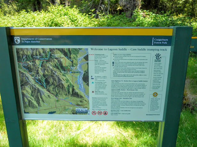
There is a good DOC information panel at the beginning of the track, take the track timing messages with a grain of salt, I usually find them to be wrong. In this case it was spot on 2.5-3 hours to the hut.
 |
| DOC info board, Lagoon Saddle Track |
Here is the start of the climb on the track to Lagoon Saddle, the track is quite steep to start with but eventually evens out into a long sidle. It is all up hill though, so slow and steady is the name of the game on this track.
 |
| Start of the climb on the Lagoon Saddle Track |
There is an avalanche warning sign near the start of the track, in Winter there is a significant risk of avalanches at the far end of the track. Don't freak out! this is just DOC being safety conscious, akin to the exit sign's you see in the 2 meter by 2 meter bivy's scattered around the country. There only one exit so it is not really required.
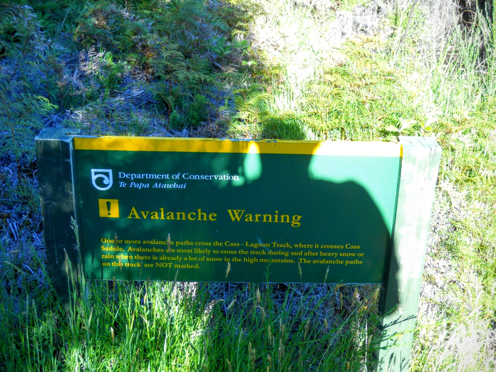 |
| Warning sign near Bealey Hut |
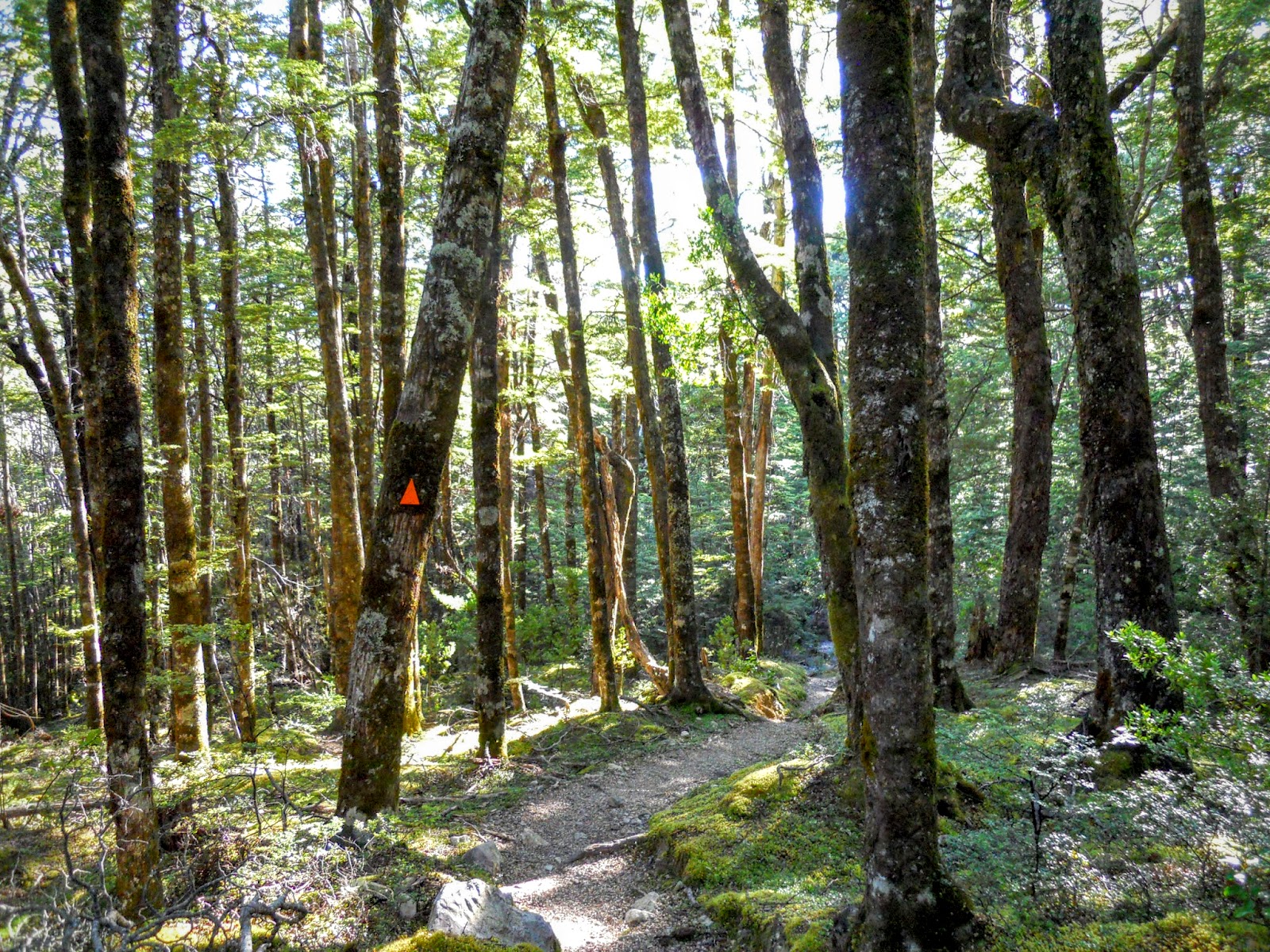
The track starts with typical open beech forest, the condition of the lower track was good: dry, wide and clear of fallen trees.
 |
| Open beech forest, Lagoon Saddle Track |
As you climb the forest opens up considerably, this is mature beech forest, cool and shaded on this very hot day (it got up to 29 degrees).
 |
| Lagoon Saddle Track |
You pass some small areas of goblin forest, thick moss underfoot and the possibility of a dwarf braining you with a club behind every tree!
 |
| Classic goblin forest, Lagoon Saddle Track |
Generally the track is good, you do strike areas of roots and rough stone underneath. Walking shoes or boots are probably the best footwear for this type of track, I saw a lot of people wearing running shoes but I bet they had cold, sore, wet feet by the end of the day.
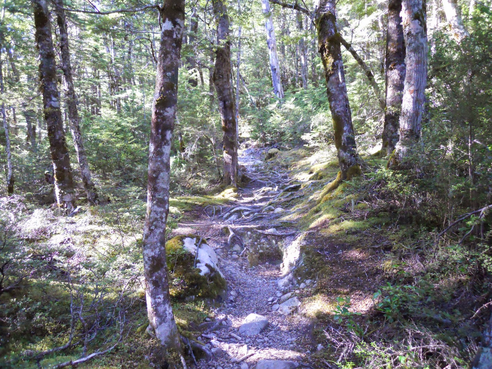 |
| Track conditions, Lagoon Saddle Track |
After about 40 minutes you enter a band of exotic pine plantation. The trees were planted by the NZFS back in the 70's as a erosion remedy, they are fully mature, and it is a thick dark forest you see now.
 |
| Entering the exotic plantation, Lagoon Saddle Track |
Below is the first, not very good view from the track, the forest is so thick that there are no real views until you reach the tussock area after an hour and a half or so.
 |
| First view along the track |
Here is the end of the exotic band and the start of more beech, the mountain variety in this case. You are about 20 minutes from breaking out into the tussock at this point, and half way to your destination.
 |
| Exotic-beech forest margin |
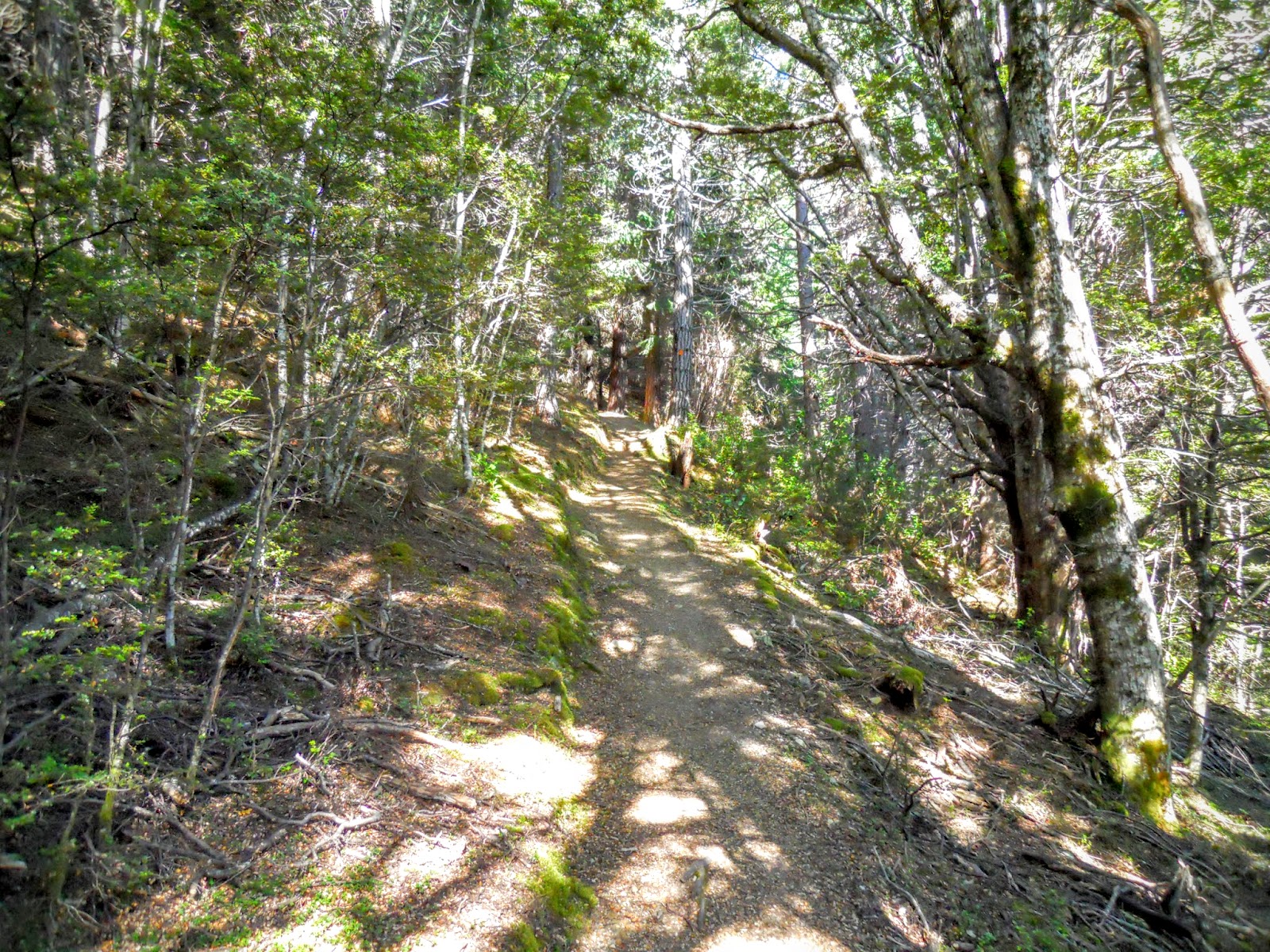
There is a nice benched track through this section, it makes a welcome change to the mud you are about to encounter.....
 |
| Nicely benched track, Lagoon Saddle Track |
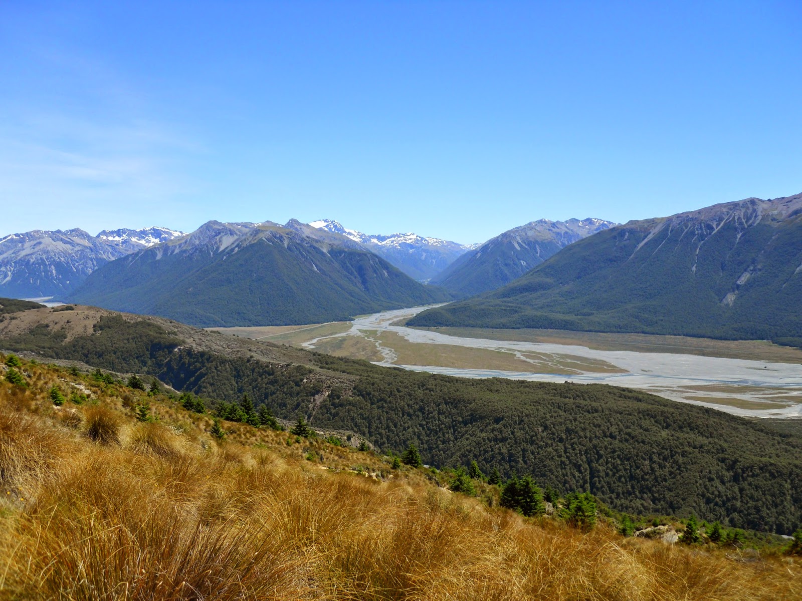
Eventually you break out of the forest to fantastic views over the Upper Waimakariri Valley, below is a shot towards Klondyke Corner and the Bealey Valley. You are at about 600 meters at this point.
 |
| View towards Klondyke corner, Bealey Valley |
 |
| Bealey Valley with Arthur's Pass Village in the distance |
Here is view looking East towards the Mt White bridge area.
 |
| Waimakiriri valley from Lagoon Saddle Track |
 |
| Waimakiriri from the Lagoon Saddle Track |
The track for the next hour is a long sidle across slopes of tussock and grass, with the occasional copse of trees. The track was a bit muddy, water run off from Mt Bruce and the swampy nature of the ground do not make for dry conditions.
 |
| Tussock transition point on Mt Bruce |
View towards the Bealey valley, with Mt Rolleston in the background.
 |
| View towards west from the Lagoon Saddle Track |
 |
| Alpine daisies on the Lagoon Saddle Track |
Looking south west we can see the ranges around Browning and Whitehorn Passes, this is the location of the awesome Three Passes tramp, as you can see you would need ice axe and crampons even in the Summer to complete the track.
 |
| View South West towards Browning Pass |
Here is a moderate example of the muddy track, it is far worse at some points.
 |
| Muddy track conditions |
You have great views of Bealey Spur to the West, I
walked this track to Bealey Spur Hut in September last year.
 |
| Lagoon Saddle Track |
Eventually you reach the highest point, and start down towards Lagoon Saddle Shelter about 300 meters downhill. The area in the foreground of the photo is Lagoon Saddle itself.
 |
| Lagoon Saddle from the flank of Mt Bruce |
Here is a view looking towards Mt Bruce, this would be a good point for an ascent of the mountain, it is the apex of the track and there is a nice easy tussock slope to climb. I estimate it would take at least an hour from here to get to the top.
 |
| Mt Bruce from the Lagoon Saddle Track |
There's a wilderness tramp staring you in the face, a quick look at the topo map shows easy terrain from here heading south-east, there are a series of tarns further along this range (possible future trip?).
 |
| Lagoon Saddle and tarns |
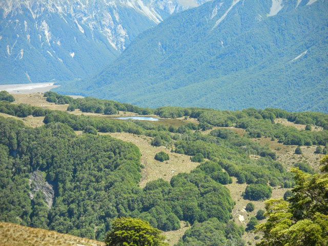
You can see the tarns on Lagoon Saddle from the track as you descend down towards the hut, I couldn't see a track anywhere (or I would have gone down), but it looks like an easy bush bash. There are a series of tarns, one quite large and several smaller ones around it. Could be a nice spot to camp.
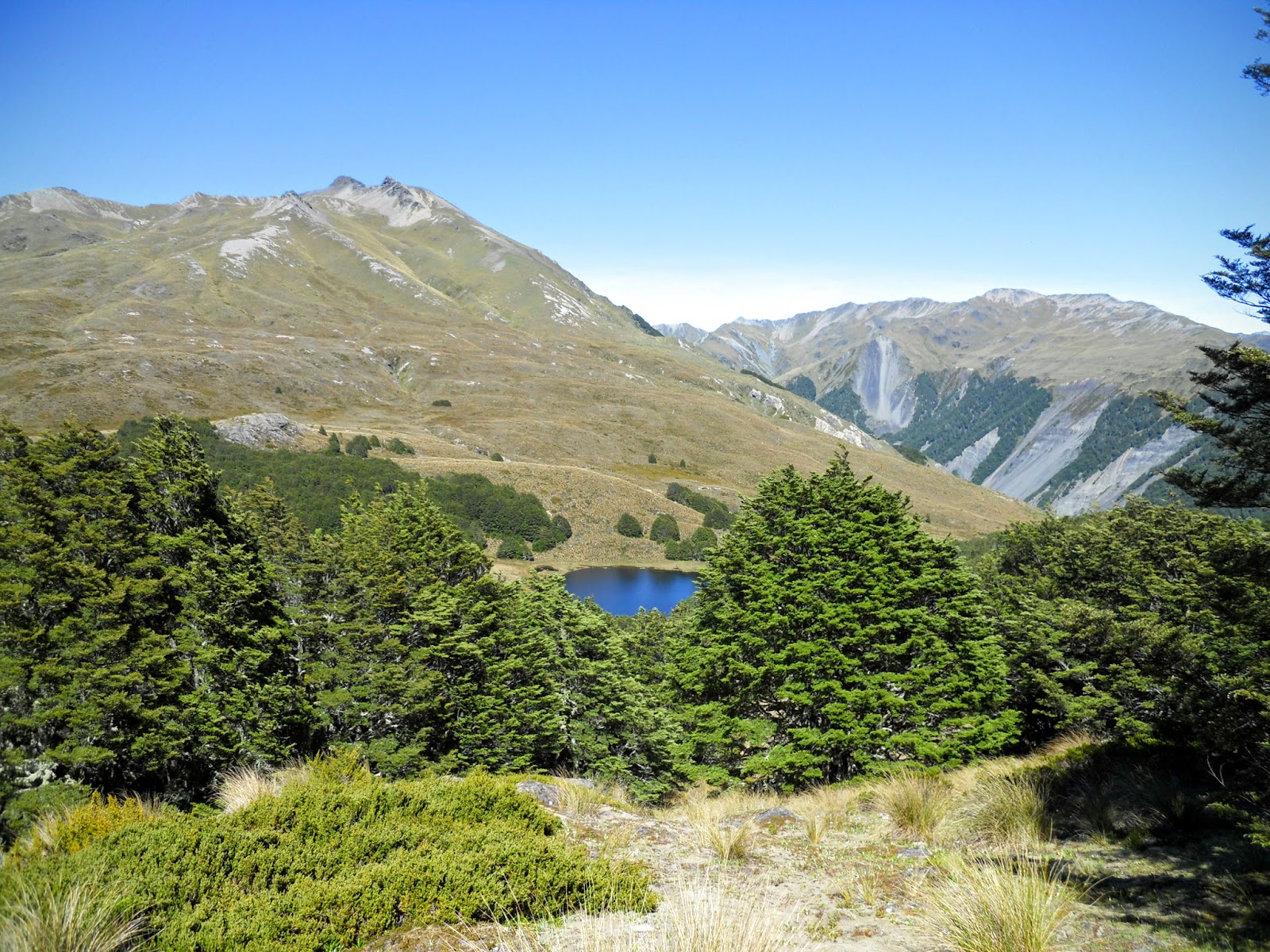 |
| Main tarn on Lagoon Saddle |
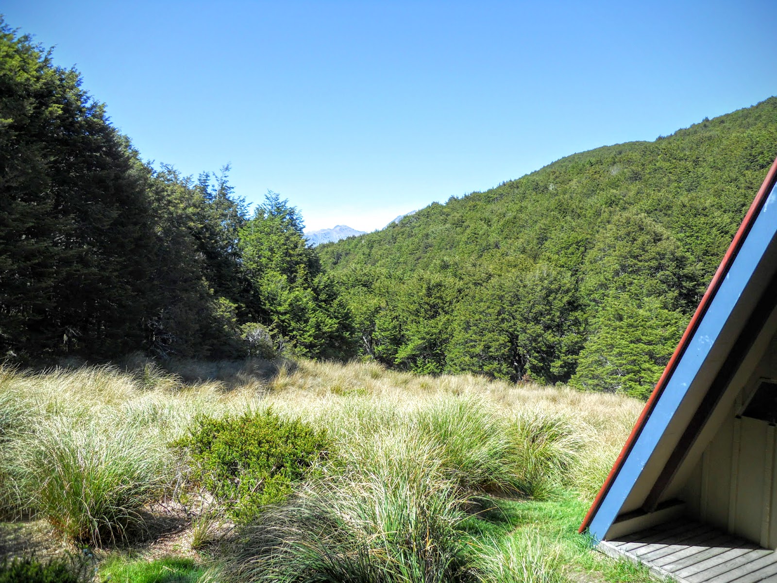
Lagoon Saddle Shelter is a small A frame building close to the tarns. It is not intended as an overnight spot but could certainly be used for that purpose, it has just enough space for 2 people. I noticed a small waterfall (2-3 meters) nearby as well, it is the outflow point for the tarns. It looked like it would be accessible by following the bush edge.
Natures shower anyone? Ill bet it is refreshing, if not glacial in nature.
 |
| Lagoon Saddle Shelter |
 |
| Lagoon Saddle shelter |
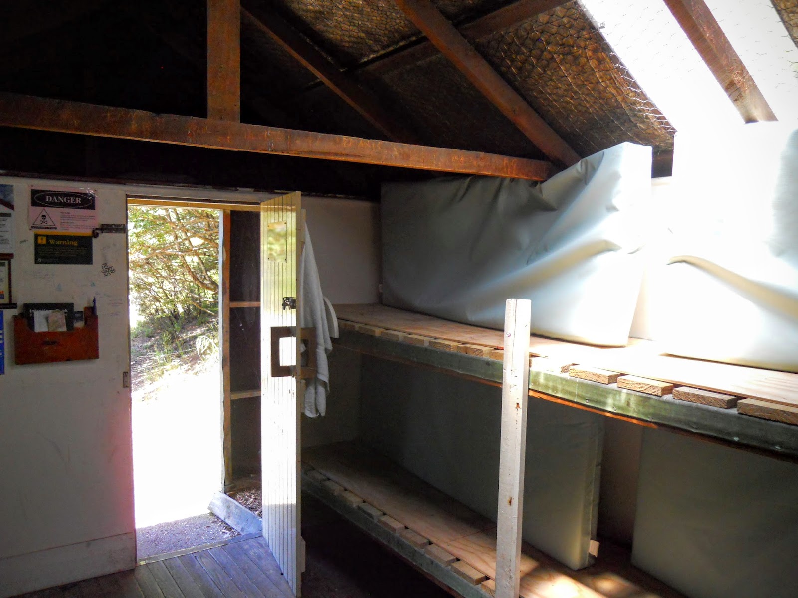
As you can see it is a bit Spartan inside, but would be perfectly comfortable for an overnight stay. There is a bench for one of the mattresses, the second would need to go on the floor, this is definitely a 2 person bivy.
 |
| Interior of Lagoon Saddle shelter: only one bunk! |
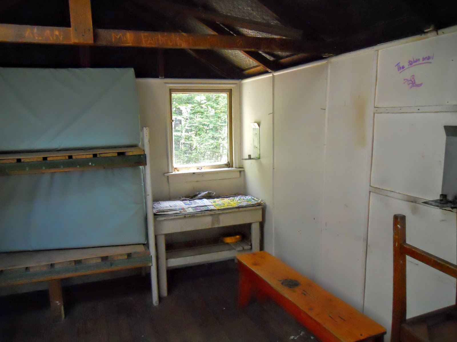
Small amount of storage space, an axe, and the usual DOC safety warnings. Water for the hut would be from the small stream near the hut, or from another stream that runs from the tarns on the saddle. I would draw water from up hill of the toilet as it looks too close to the nearby stream in my opinion.
 |
| Interior of Lagoon Saddle shelter |
I discovered later that there is also an old hut (Lagoon Saddle Hut) within a hundred meters of this location. It is in the forest fringe opposite the shelter, but I didn't see it on the day I was there. From its location on the topo map it would be to the SW of Lagoon Saddle shelter, 4 bunks, basic inside but usable.
 |
| Area surrounding Lagoon Saddle Shelter |
Heading back to the Cora Lynn car park
I stopped at the shelter for a snack and to write in the hut book, then headed back up the track to find a lunch spot in the sun. It is much easier walking back towards the car-park, the lie of the land favours a clockwise direction of travel.
 |
| View of the tarn from near Lagoon Saddle shelter |
Lunch of champions: sesame crackers, tuna, peanut M&M's and water!
 |
| Lunch time on the Lagoon Saddle Track |
 |
| View back towards Lagoon Saddle |
I stopped just short of the apex and parked myself on a convenient rock so I could eat my lunch out of the wind. The breeze from the distance mountains was a bit cool, there is still a bit of snow at higher elevations along the Alps
 |
| Jon on the Lagoon Saddle Track |
 |
| View of Upper Bealey Spur |
 |
| Waimakiriri river from the Lagoon Saddle Track |
It was possible to see SE towards the upper Harper River, Hamilton Hut is about 6 hours walk up this valley. The official DOC time for the section from Hamilton Hut to the Cora Lynn entrance is 7-9 hours! I was talking to a French couple who were planning to walk all the way to Cass Hut, that is a 12-13 hour trip! Too far for me, but then I'm not a awesomely fit looking 20 year old
European hiker.
 |
| View South East into upper Harper Valley |
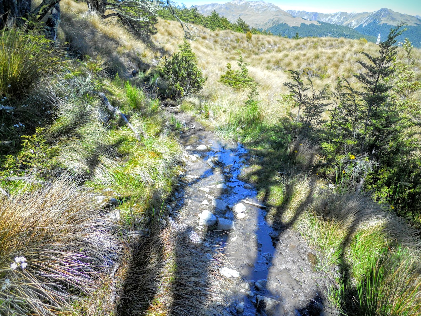
I wish this track had more of this: board walks over the muddy swampy spots.
 |
| Board walks on Lagoon Saddle Track |
In the distance are the picturesque tarns on Bealey Spur, about 3 km's and 200 meters lower than the Lagoon Saddle track. I believe you can walk up one track and down the other by using a long ridge sidle between the two Spurs.
 |
| Bealey Spur Tarns |
I passed 17 people on the way back out to the car-park, I started walking at 8 am so probably was walking before most of them had risen from bed. Mostly day trippers, although there was one American couple from San Diego who were staying at Lagoon Saddle Hut for the night. It's interesting how much info you can share in a 5 minute conversation on the side of a track.
 |
| View down towards forest, Lagoon Saddle Track |
 |
| Lower Bealey Spur |
There is Cora Lynn station in the distance, it is obvious to see the difference that irrigation makes in these high dry areas. At least Cora Lynn is still a sheep station and not a polluting dairy farm.
 |
| Cora Lynn Station from Mt Bruce |
 |
| Bealey Spur, Bealey Valley and Mt Rolleston |
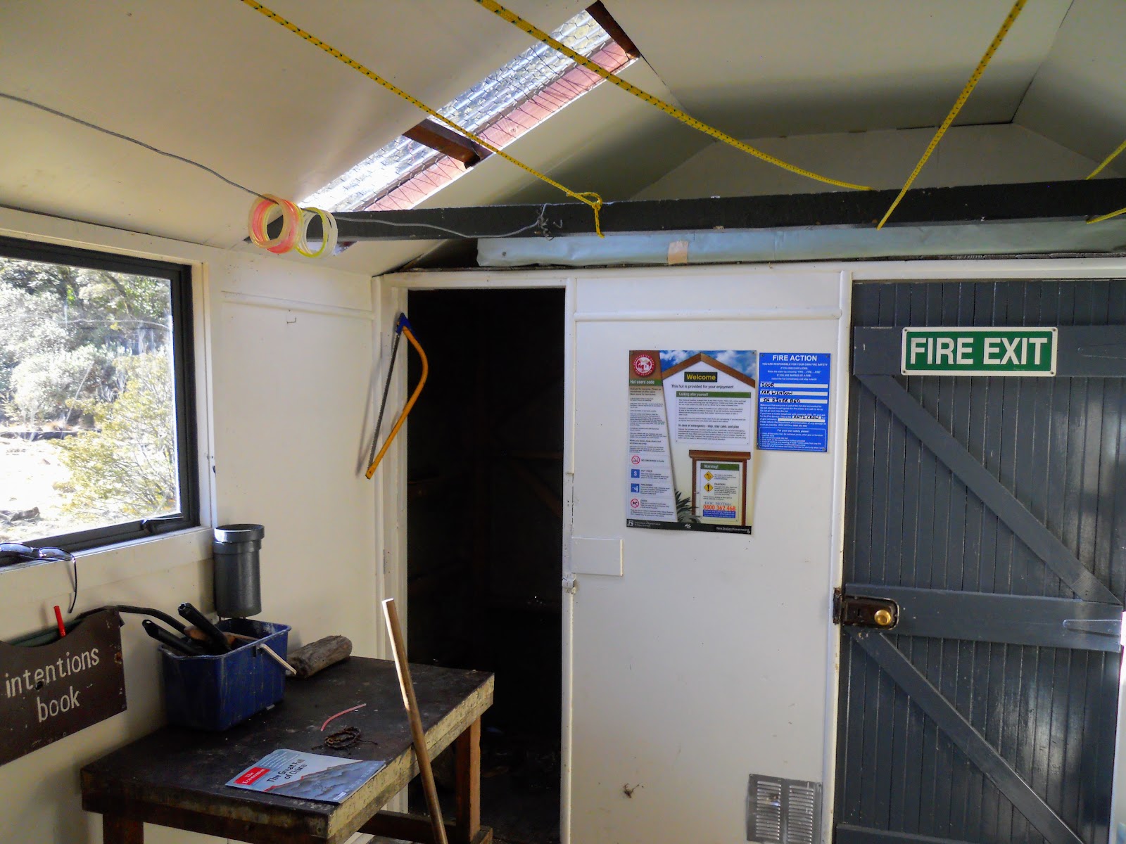
About 10 minutes from the end of the track is Bealey Hut, this is a basic 6 bunk hut, with a water tank and toilets. There is plenty of space around the hut for tents, but no internal fireplace. Inside it was blazing hot, sitting closed up in the sun.
 |
| Bealey Hut near Cora Lynn Station |
Its pretty basic inside, but would provide shelter from bad weather if required. As with all DOC huts close to road ends it is prone to graffiti and damage as it would get visited by (excuse my language) complete arse's who don't realize how lucky we are to have these huts.
 |
| Interior of Bealey hut: some of the bunks |
The hut is often used by Te Araroa trail walkers as it is the first on this section of the trail, there is also good accommodation at the wilderness lodge close to this hut. A quick read of the hut book had 20+ people visiting the hut in the previous 2 week period.
This is the 67th DOC hut I have visited, only around 840 more to go!
 |
| Interior of Bealey Hut: small cooking bench |
 |
| Flat area around Bealey Hut |
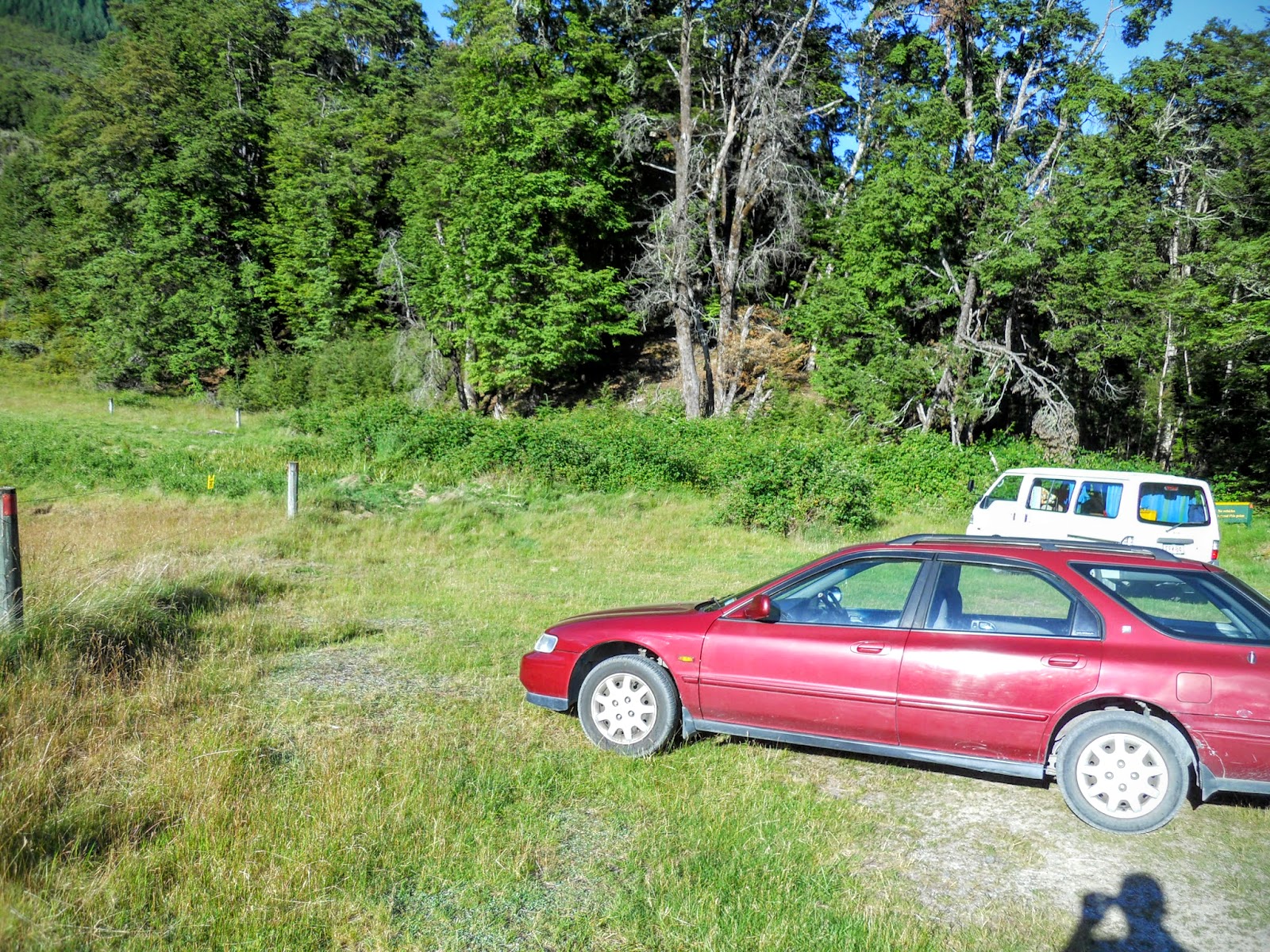
Eventually you make it back to the car-park, plenty of space for cars here and relatively secure as it is clearly visible to the nearby Cora Lynn homestead. I would have no problems parking my car here for several days while exploring the local area.
 |
| Lagoon Saddle carpark, Cora Lynn end |
 |
| DOC information board Lagoon Saddle Track |
The car-park is at the end of this short gravel track, you can see the changes in the vegetation on the spur from beech, to pine and beech again.
 |
| Mt Bruce, view of the forest, track from Cora Lynn |
On the way back to Christchurch I spotted these wild flowers growing in the dry lake bed of Lake Lyndon. It was a spectacular sight with the mixture of purple and yellow colors.
 |
| Wild flowers growing in bed of dry Lake Lyndon |
Access: Turn off SH 73 (Arthur's Pass Highway) at Cora Lynn Station, drive along long gravel driveway to fence with Lagoon Saddle Track sign
Track Times: 2.5-3 hours to Lagoon Saddle Shelter, same return
Hut Details: Bealey Hut: basic, 6 bunks, water tank, toilets: Lagoon Saddle Shelter: basic, 2 bunks, water from stream, toilet: Lagoon Saddle Hut: basic, 4 bunks, toilet, water from stream
Miscellaneous: Avalanche risk in winter/spring, exposed to weather in all seasons, part of Te Araroa Trail