Tramping in Mt Thomas Forest
I was planning a trip down to Mt Somers but had to cancel as some bad weather was due to roll in.
I'm still holding the Mt Somers track as a potential 3 day trip as I would like to go down and walk the full circuit.
Instead I went for a day tramp up Mt Richardson in North Canterbury over the weekend, as I work my way through my "to do" list of trips. I am hoping to get all of the Canterbury foothill tracks ticked off before the weather starts to deteriorate. I just have Mt Oxford and Mt Tomas still left to do as I have been up Mt Grey while in the Army.
 |
| Trig point on summit of Mt Richardson |
Glentui to Mt Richardson Day Trip
I did a
circuit on this trip, up Mt Richardson and then along the Blowhard and Bypass Tracks back to the car park at Glentui picnic area.
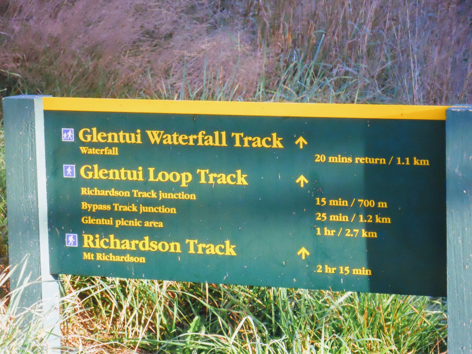
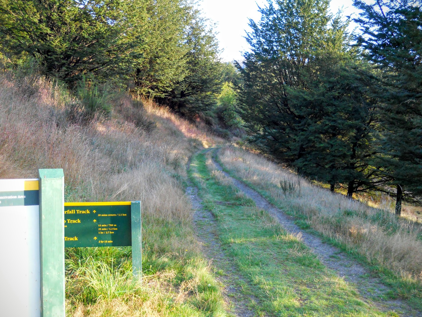
You start the Mt Richardson track from the picnic area at Glentui, there are a number of tracks starting from here into the forest, river and hills in the area.
 |
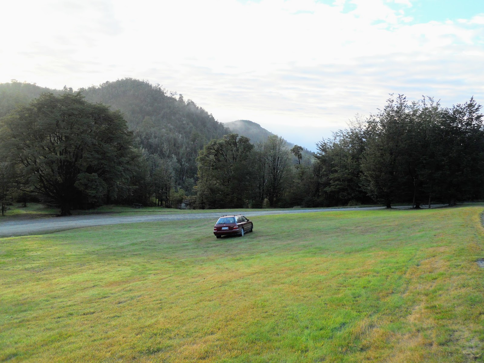
| Old 'Betsy' parked at the picnic area |
 |
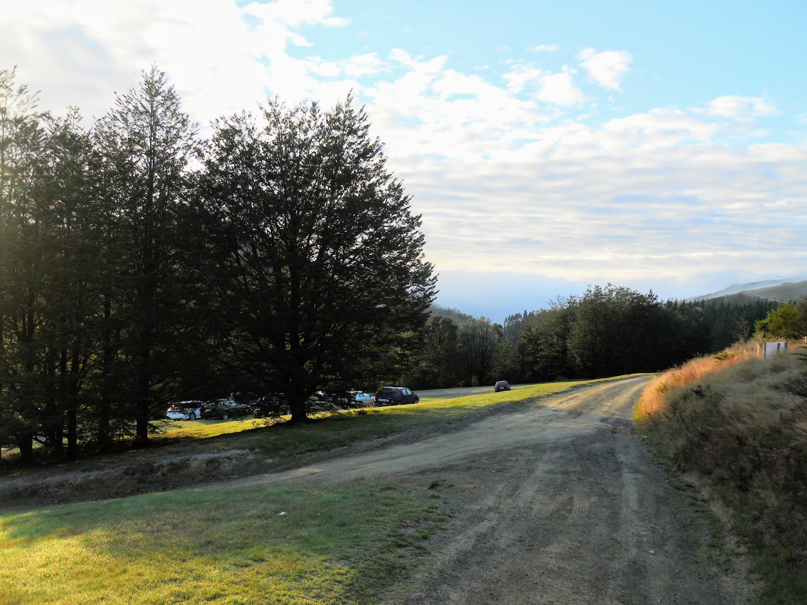
| Glentui picnic area, Mt Thomas Forest |
It is signposted as a 2 hour trip, that is about right, it took me roughly two hours to reach the summit.
 |
| DOC sign at Glentui car park |
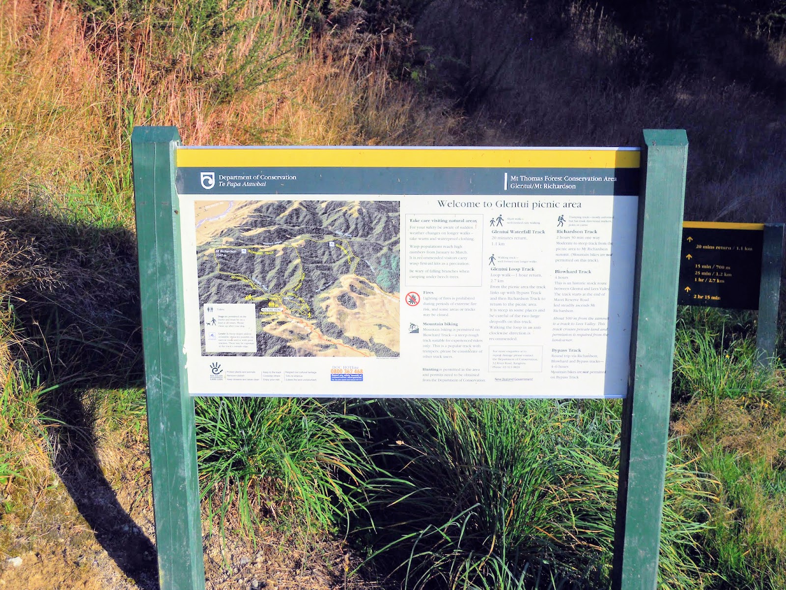
 |
| Typical DOC 3/D map board |
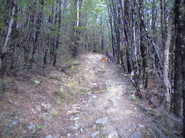
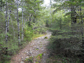
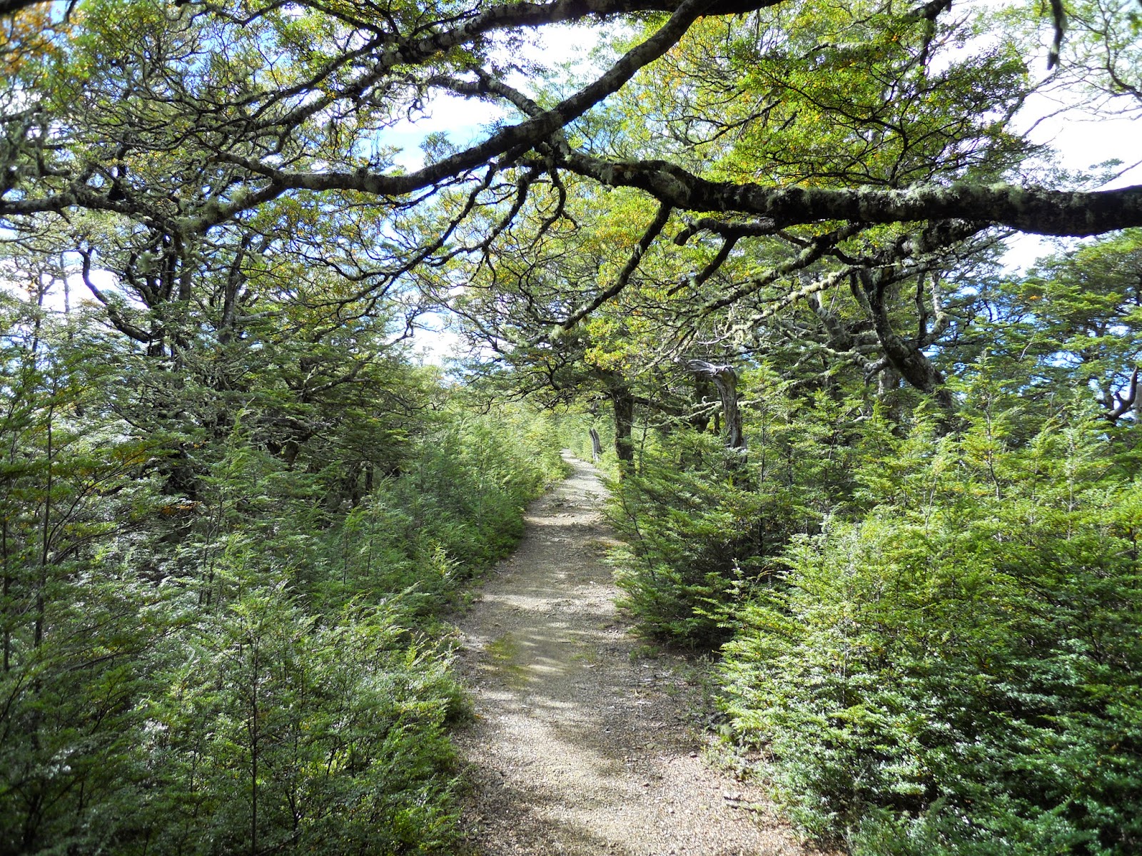
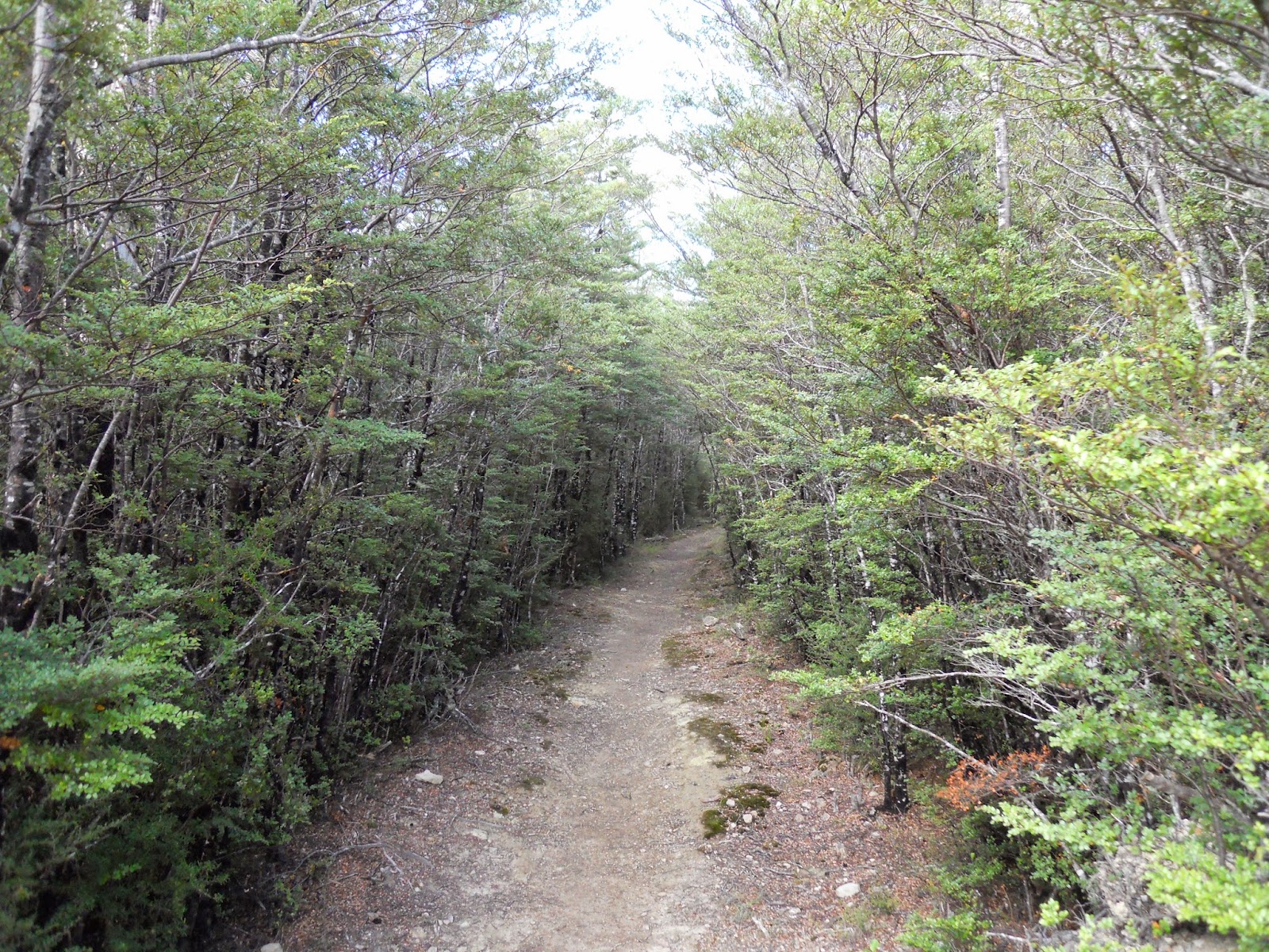
The start of the track is a old 4 W/D track, this gradually gets smaller and rougher the further up valley you walk. Most of the locals tracks start from this same spot.
 |
| Start of the Mt Richardson Track |
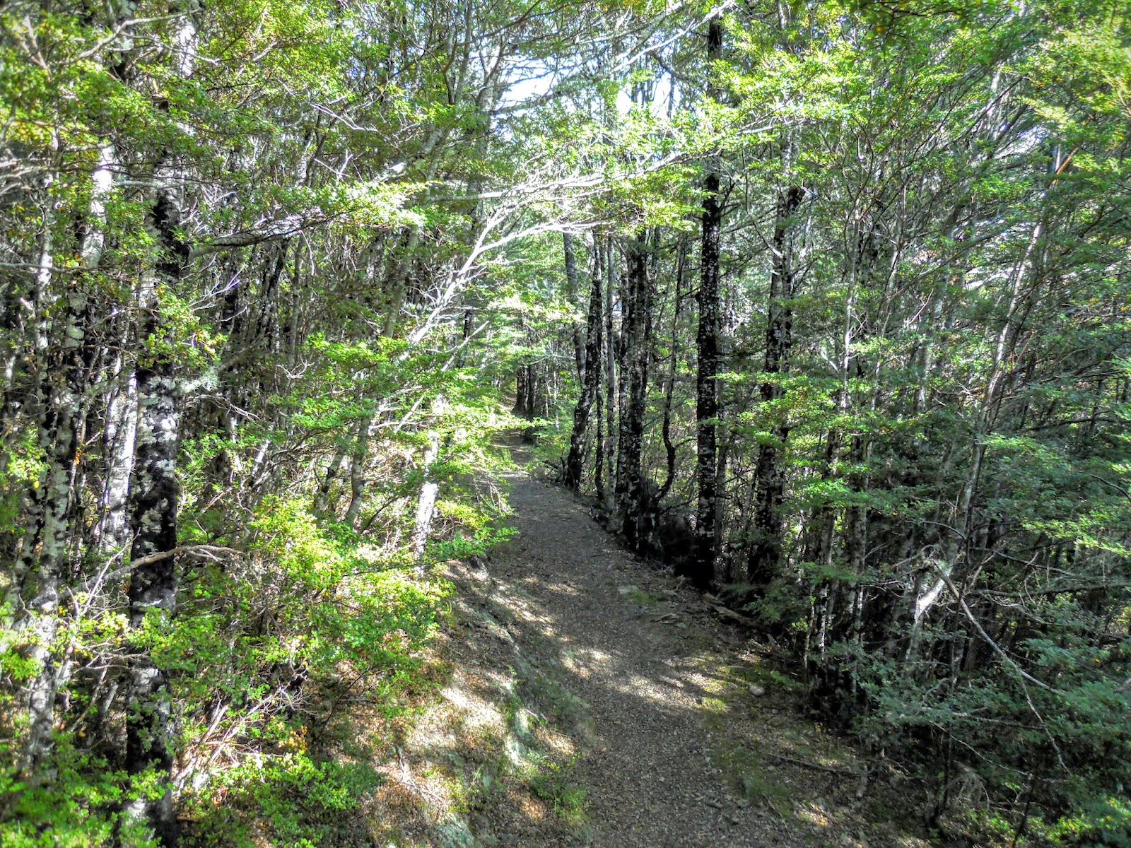
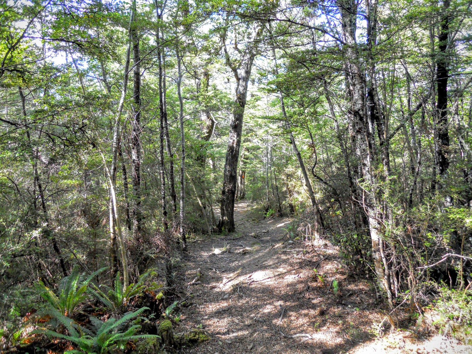
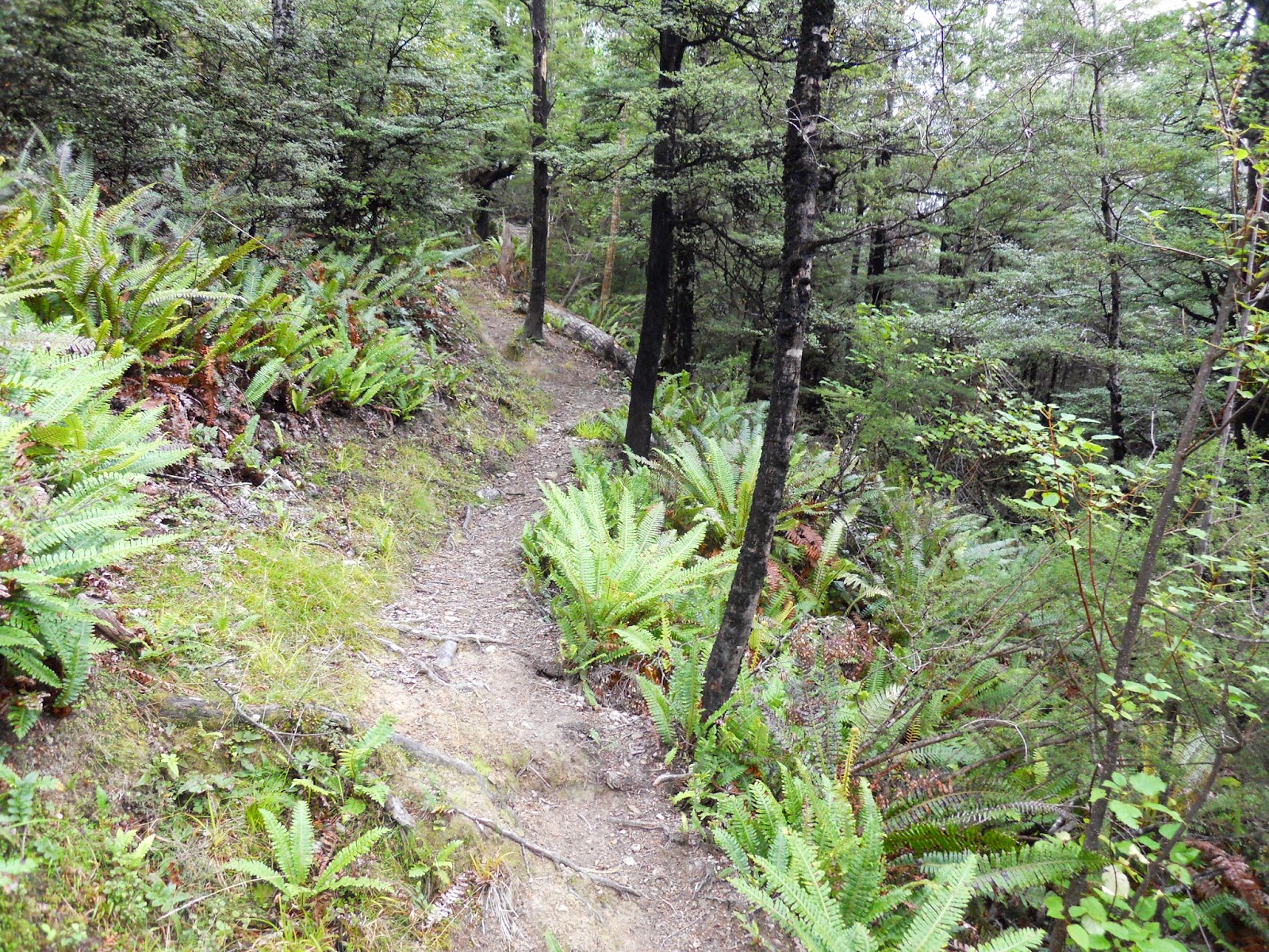
The track soon changes into a benched one it is very pleasant walking along here.
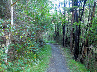 |
| Nice benched track on Mt Richardson |
The first track junction goes to Mt Richardson, in the other direction lies the Waterfall Track and access to the Bypass Track. Here is a link to the
DOC track brochure for the Mt Thomas Forest Park.
 |
| Junction of Mt Richardson/Waterfall track |
 |
| DOC track brochure page for Glentui/Mt Richardson area |
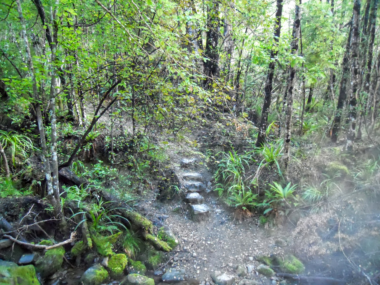
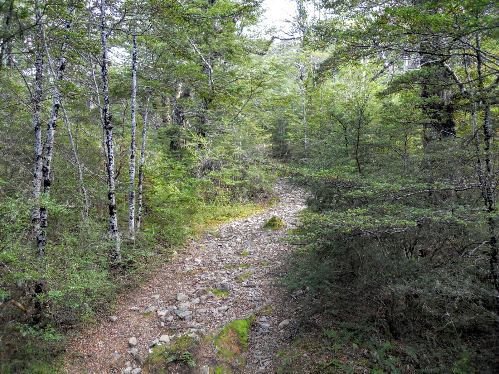
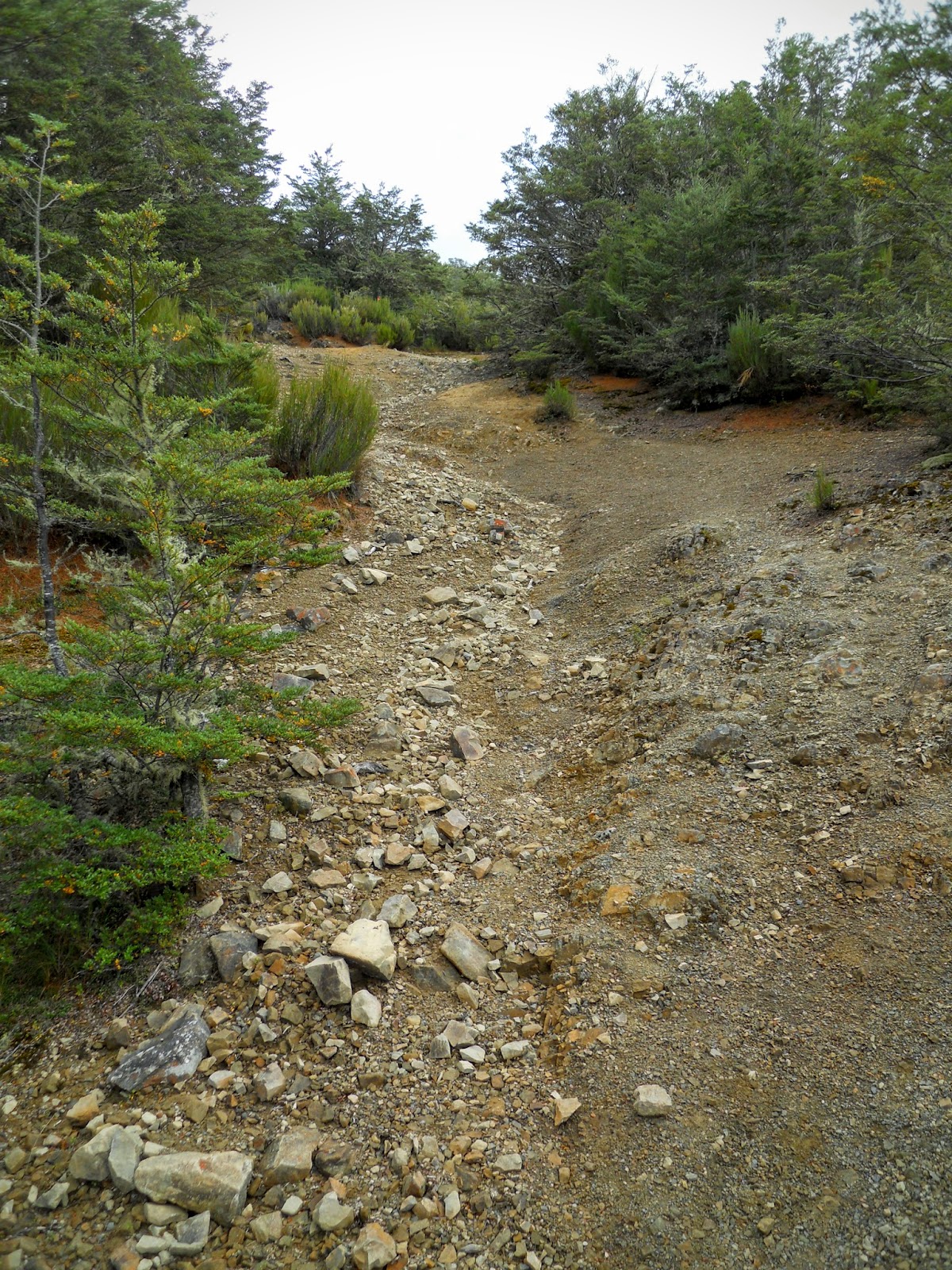
The real track starts soon after the track junction, this is more typical of the type of tracks you will strike when walking in the Canterbury foothills: rough, muddy, rocky and narrow.
 |
| Mt Richardson Track: slightly rougher as we get going |
Below is the only un-bridged stream you cross along the entire length of the tramp, this area is very dry even in a "wet" year.
 |
| Only river crossing on Mt Richardson track |
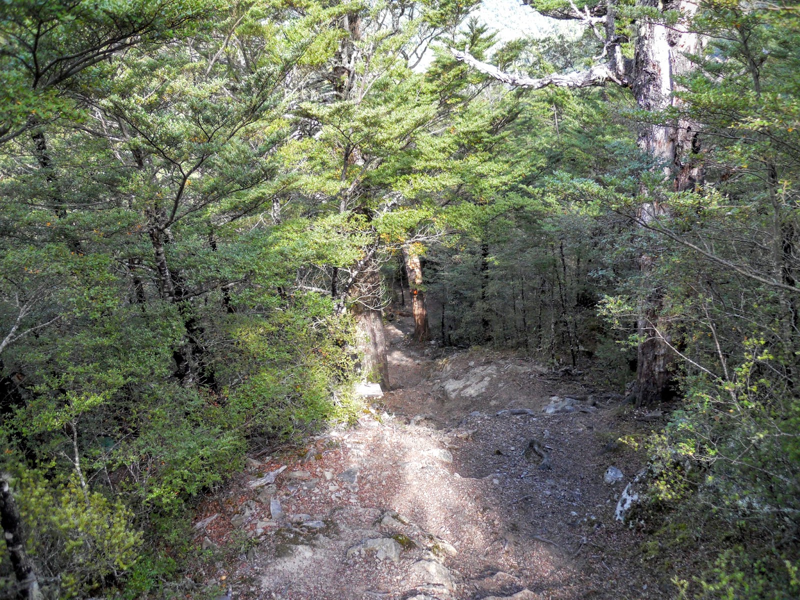
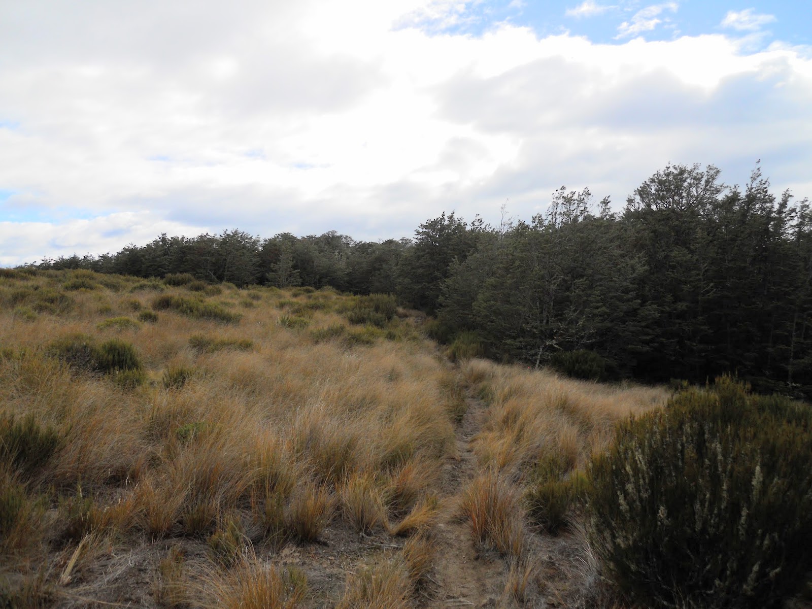
The point below is the start of the steep section of the track, you are climbing up the side of a ridge for about the next hour or so.
 |
| Last flat section, start of the climb to Mt Richardson |
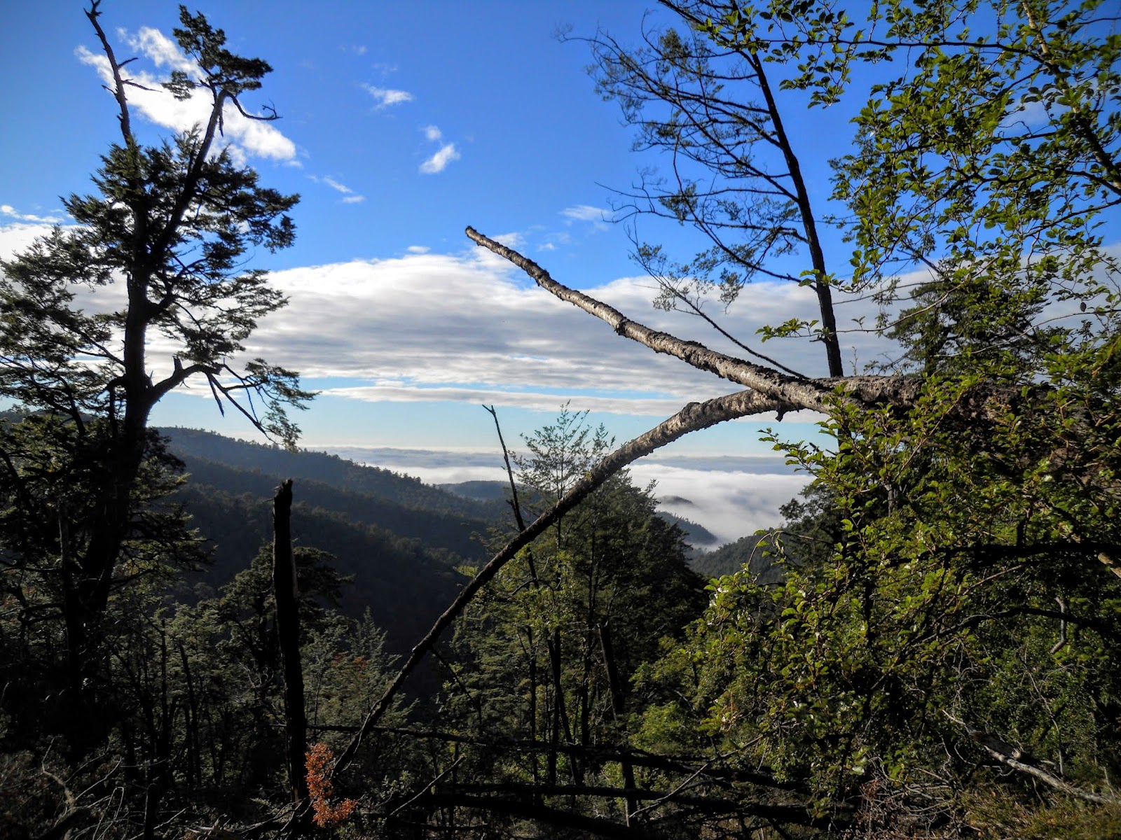
 |
| Mist over Canterbury Plains from Mt Richardson Track |
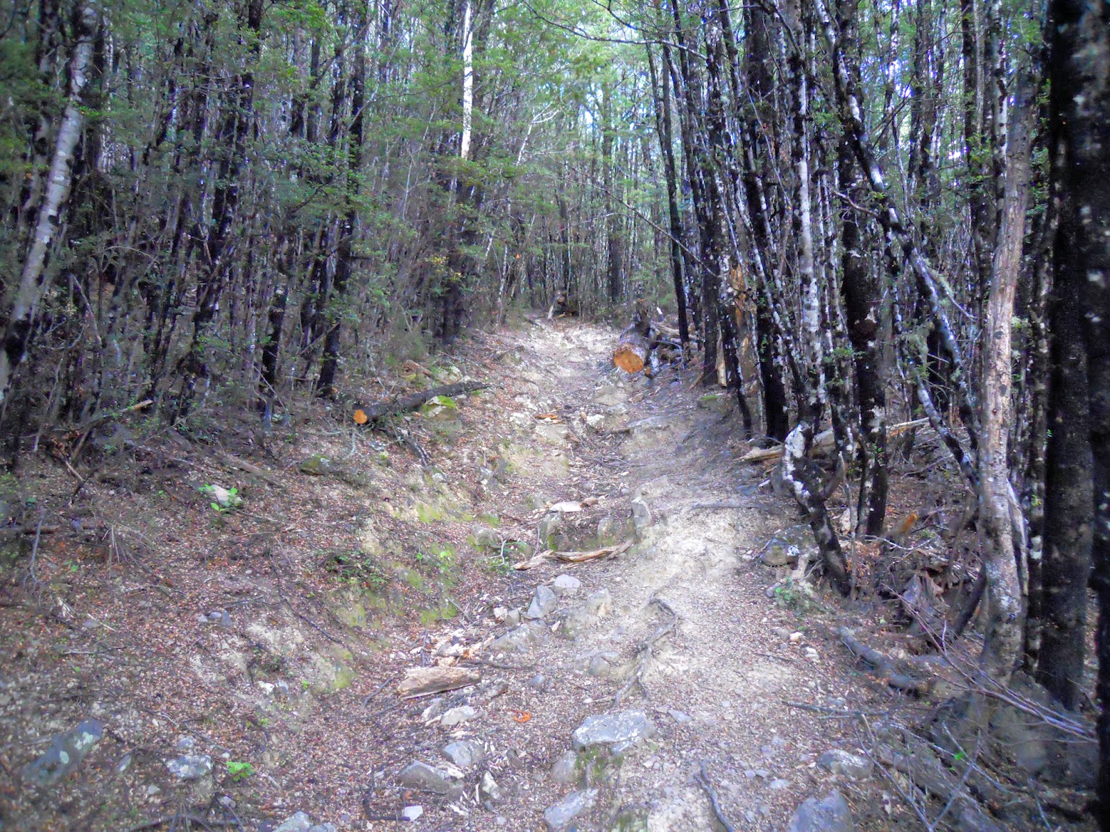
There is a lot of wind fall around the track, probably as a result of the storms last year, it is cleared from the track, but it is still a real mess in the forest.
 |
| Mt Richardson Track: wind fall damaged trees |
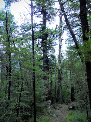
Hard to see in this photo but the track is at a 60 degree angle up through this section.
 |
| Steep rocky track conditions on the Mt Richardson Track |
Eventually you make it to the top of the ridge, from here you sidle along the top and sides of the ridge as you steadily climb towards the summit.
 |
| Mt Richardson track - ridgeline section |
 |
| Plateau 3/4 of way to summit of Mt Richardson |
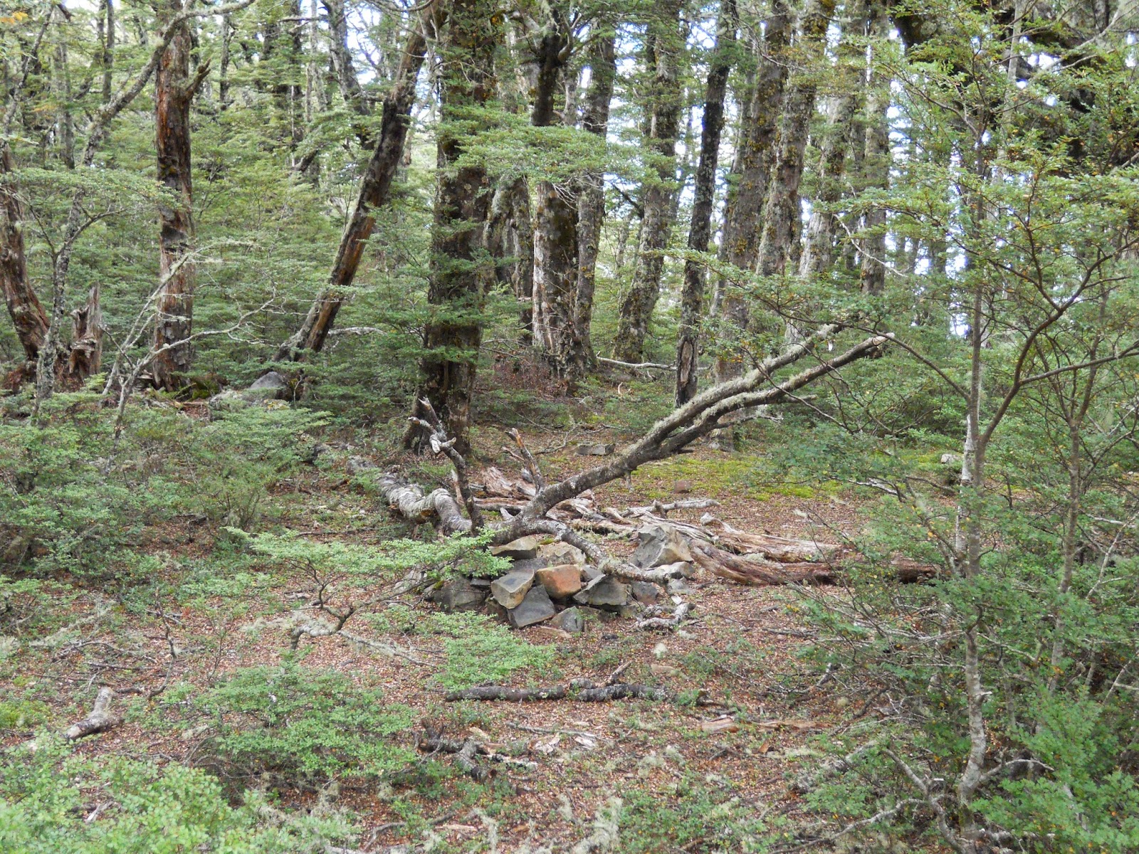
There are a couple of half decent dry camp sites along this flatter section of track, nice location but absolutely bone dry- bring water if contemplating a camp.
 |
| Mt Richardson Track: Possible camping spot? |
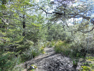
 |
| More open beech forest on Mt Richardson Track |
 |
| Approaching Mt Richardson summit |
The final steep section before you reach the summit, it is only 5 more minutes from here to the top of the hill.
 |
| Last climb before summit of Mt Richardson |
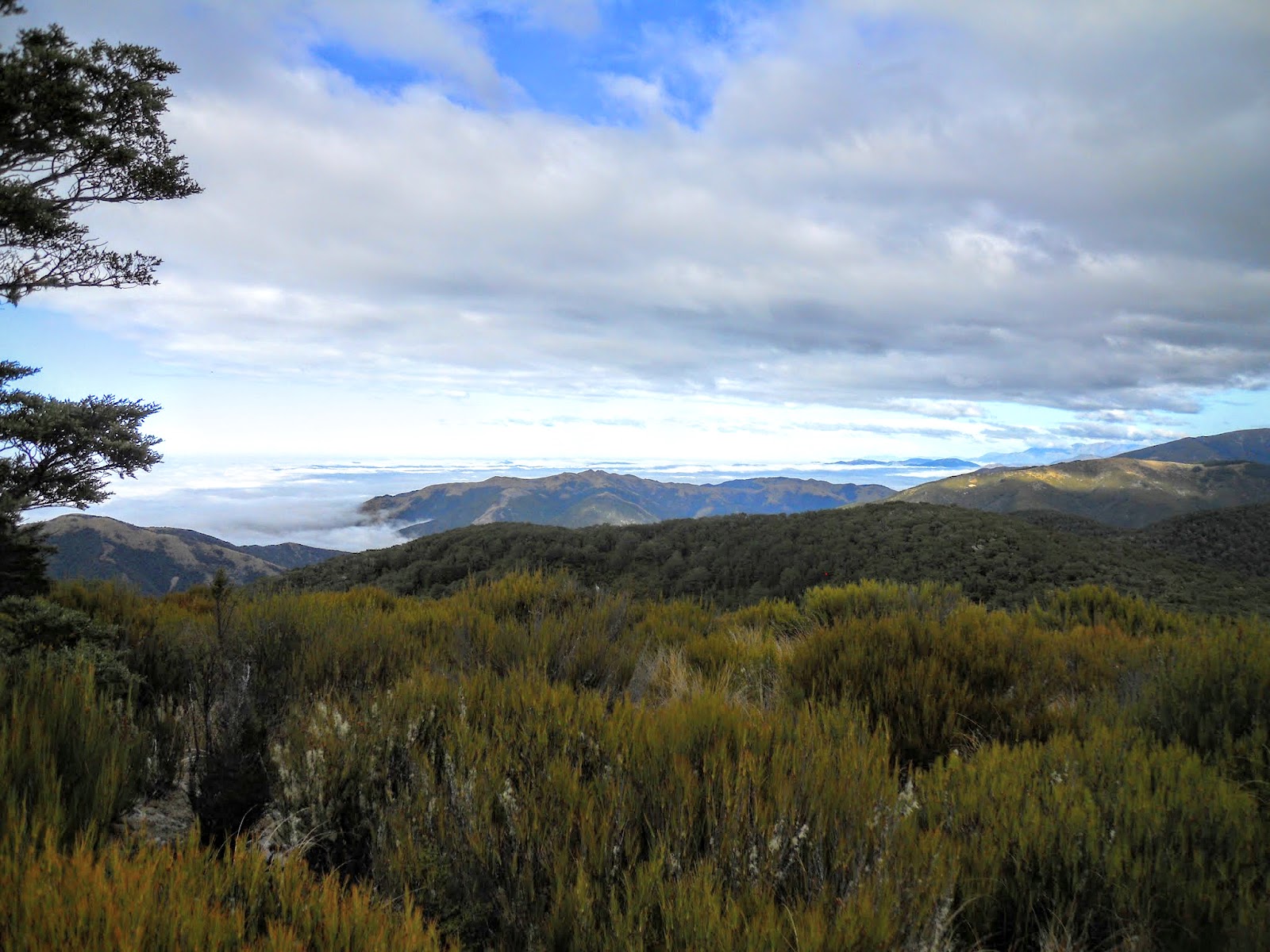
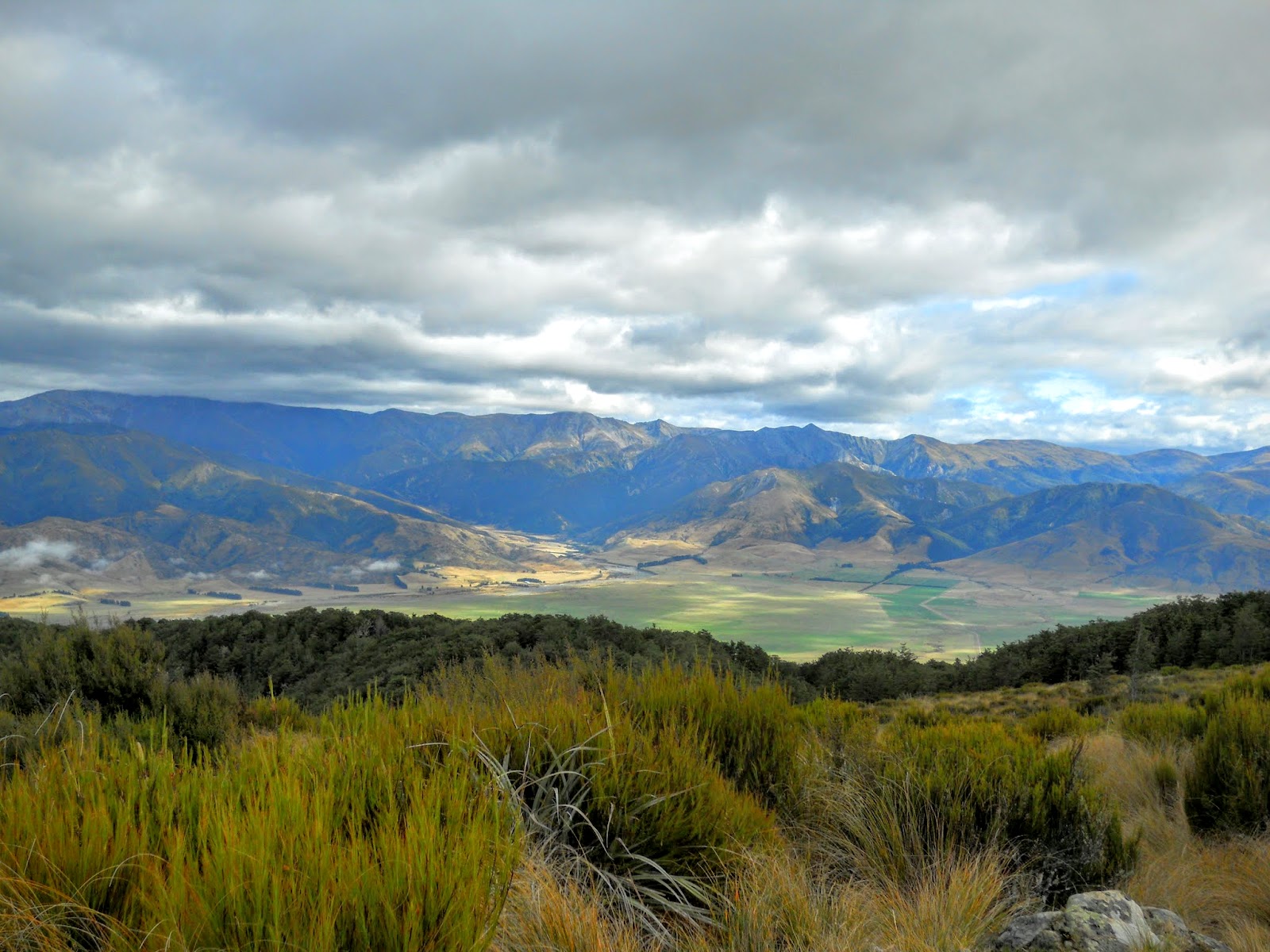
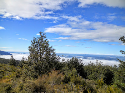
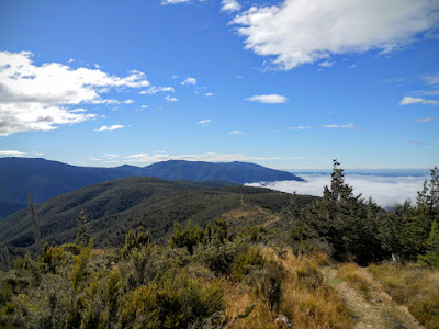
There is a large broom covered flat on the summit of Mt Richardson, there are great views in all directions. Here is a series of shots showing the Lees Valley and Mt Oxford.
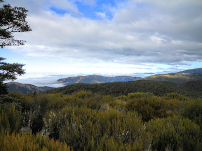 |
| View south from Mt Richardson |
 |
| View towards Puketeraki & Torlesse Ranges from Mt Richardson |
 |
| Lees Valley, Eastern end, Puketeraki Range from Mt Richardson |
 |
| Mt Oxford from summit of Mt Richardson |
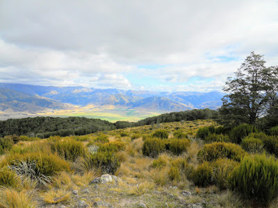 |
| Lees Valley from Mt Richardson |
 |
| Track sign, summit of Mt Richardson |
Here I am on the summit, there is a area of rocks and low scrub here, exposed to the weather but with spectacular views. There were a trio of younger trampers here enjoying that most typical of tramping fare: hot cross buns and beer......?
What every hardcore tramper eats...isn't it?
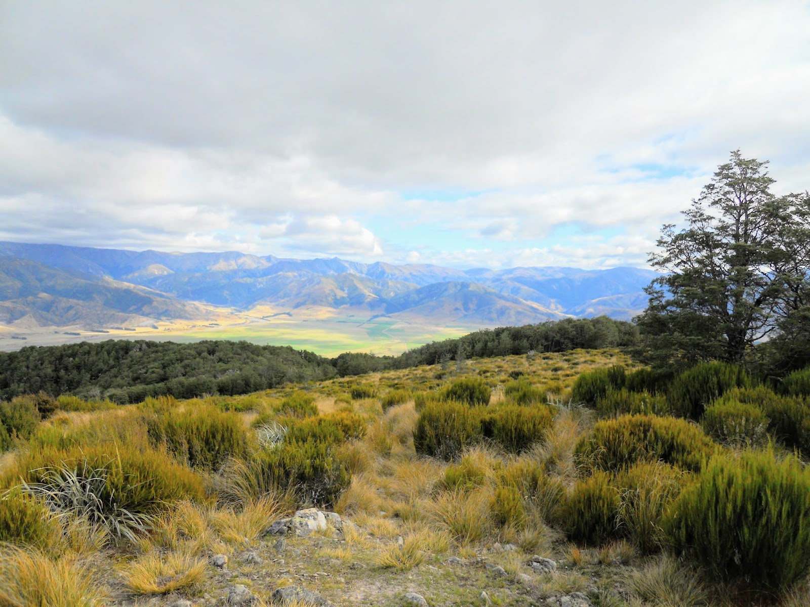
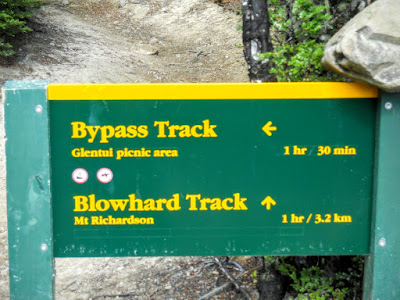
After a 10 minute break I set off once more along the Blowhard Track which runs along the top of a intersecting ridge in an easterly direction.
 |
| Jon on Mt Richardson summit |
 |
| Heading along Blowhard Track following the ridge top |
There are couple of nice looking camp-sites about 5 minutes along the Blowhard Track, with nice bush for shelter & fire wood but no water. It is very dry along this ridge with no streams or tarns to source water from.
 |
| Camp-site near Mt Richardson summit |
 |
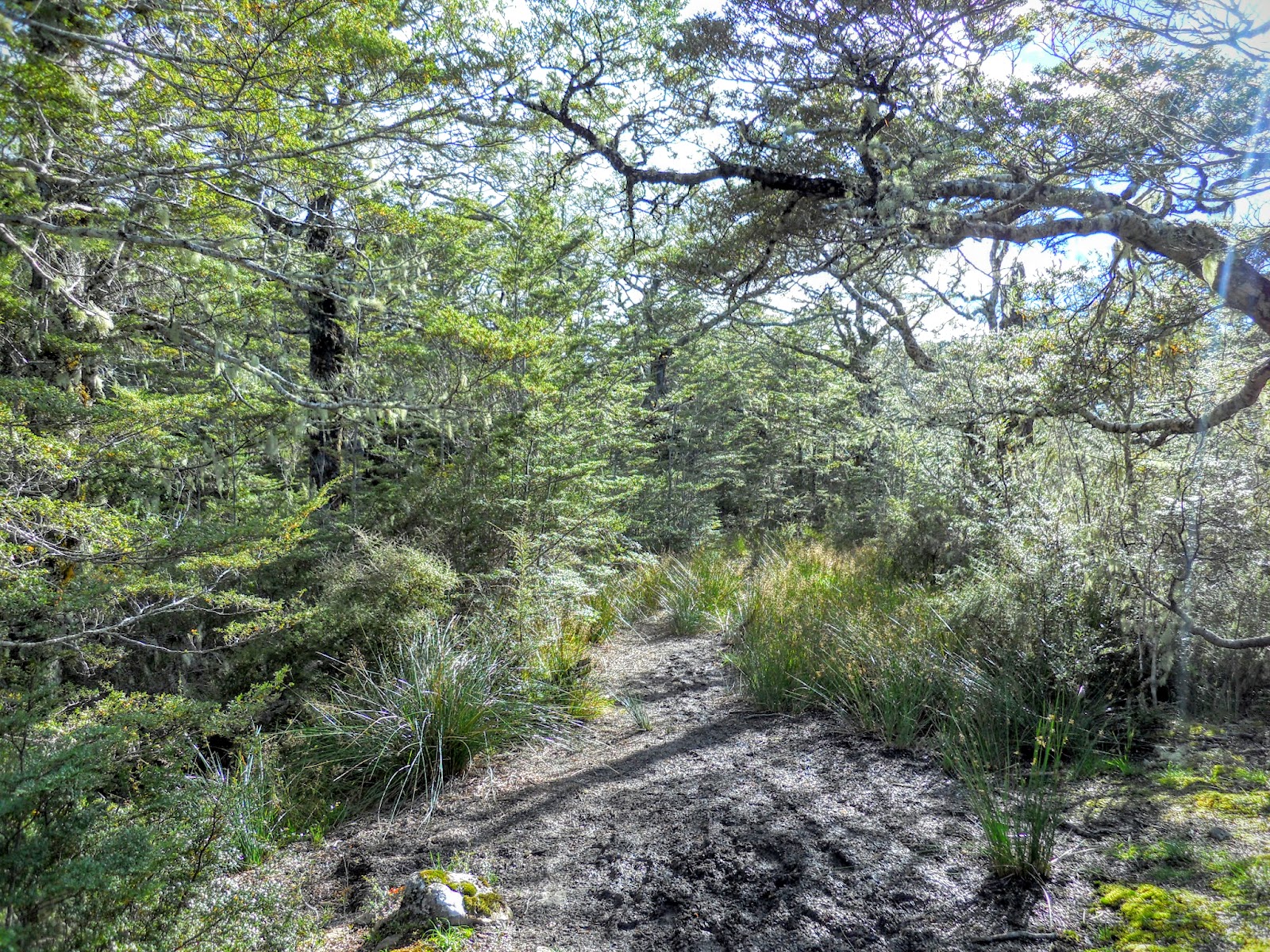
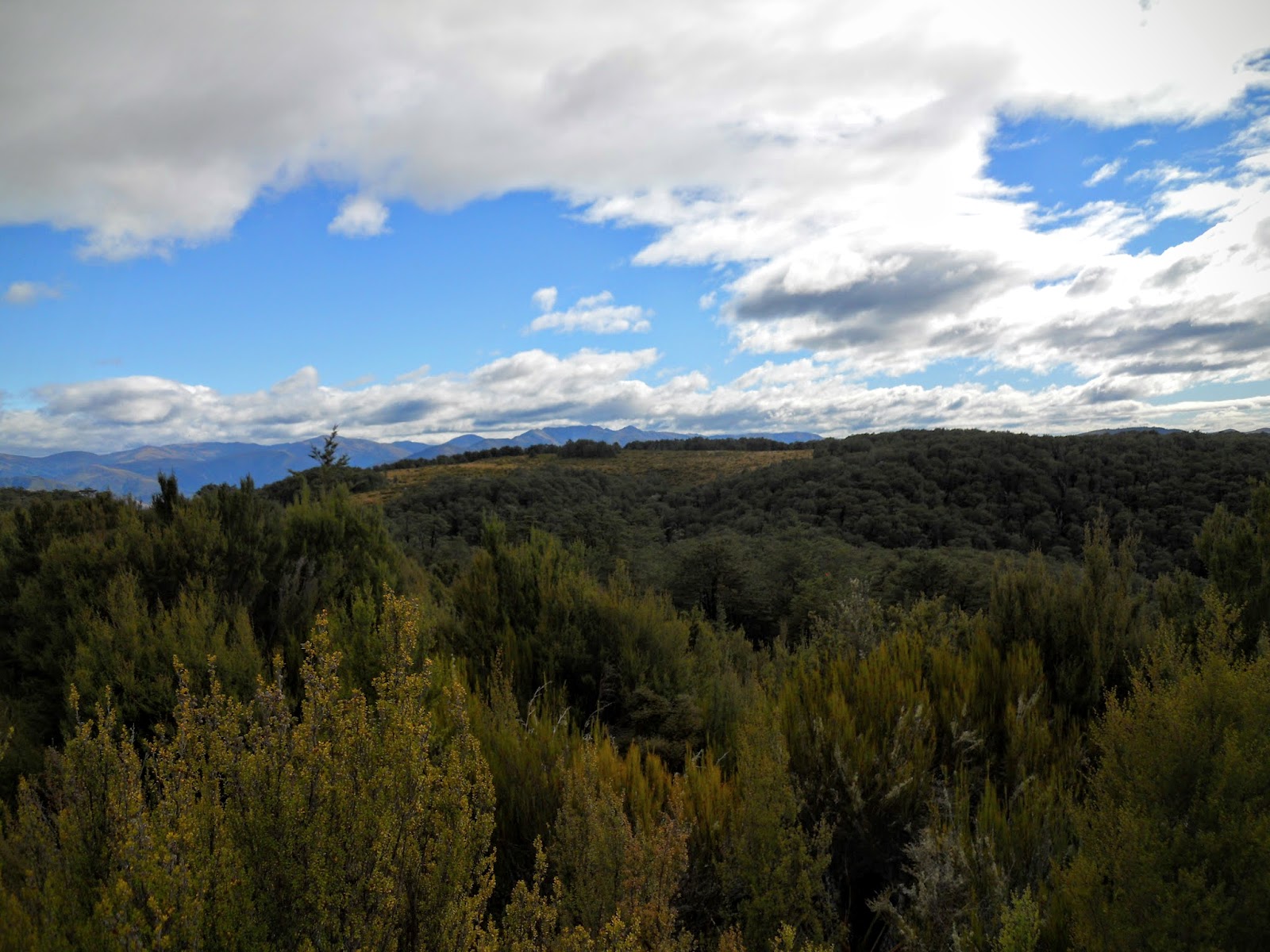
| Scrub and beech along Blowhard Track |
This ridge is crying out for a small 2-4 person bivy with a rainwater tank, similar to the one up East Hawdon. If I win Lotto I will donate one....
 |
| Another dry ridge top camp-site on Mt Richardson |
 |
| The East Hawdon Biv |
 |
| Blowhard Track: Nice track conditions |
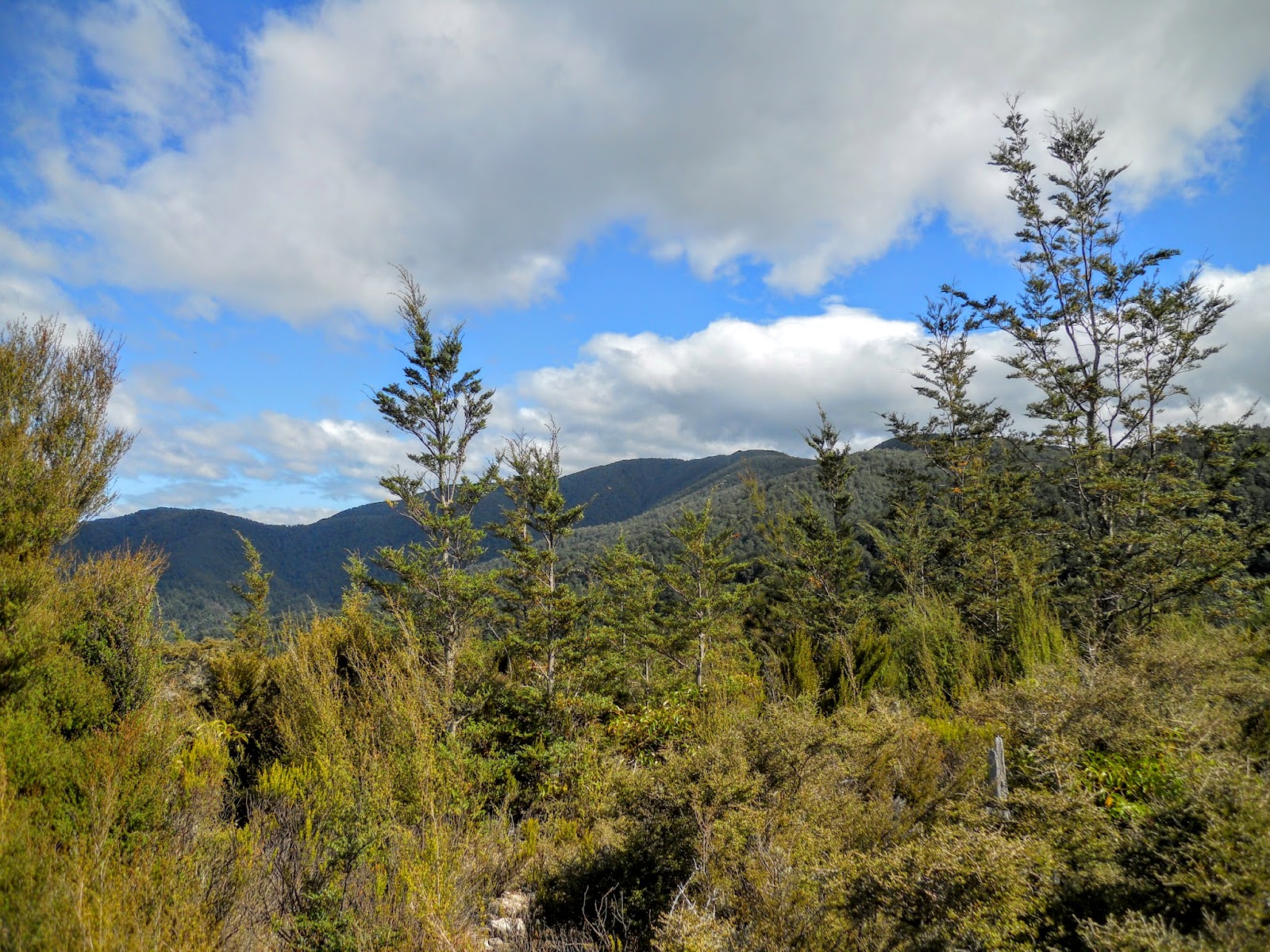
There is an interesting plateau on a ridge off to the north east of the this track, I couldn't see any tracks to the area so don't know if many people visit. You would need to bush bash through the scrub to get there. Looks interesting......
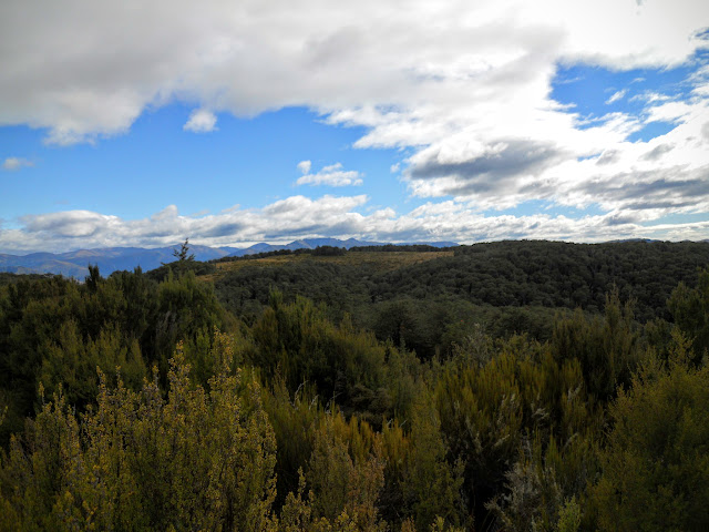 |
| Blowhard Track: Distant plateau from ridge |
 |
| Mt Thomas in distance from Blowhard Track |
 |
| Beech forest along Blowhard Track |
 |
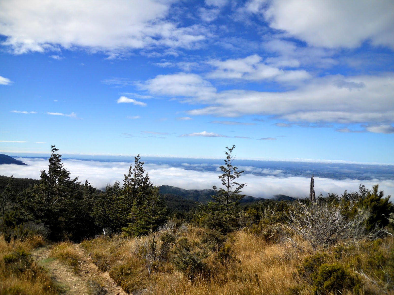
| Misty Canterbury plains from Blowhard Track |
No views of Canterbury unfortunately as the Plains were completely covered with low fog, the effect is visually interesting though.
 |
| Heading along Blowhard Track from Mt Richardson |
 |
| View towards Banks Peninsula from Blowhard Track |
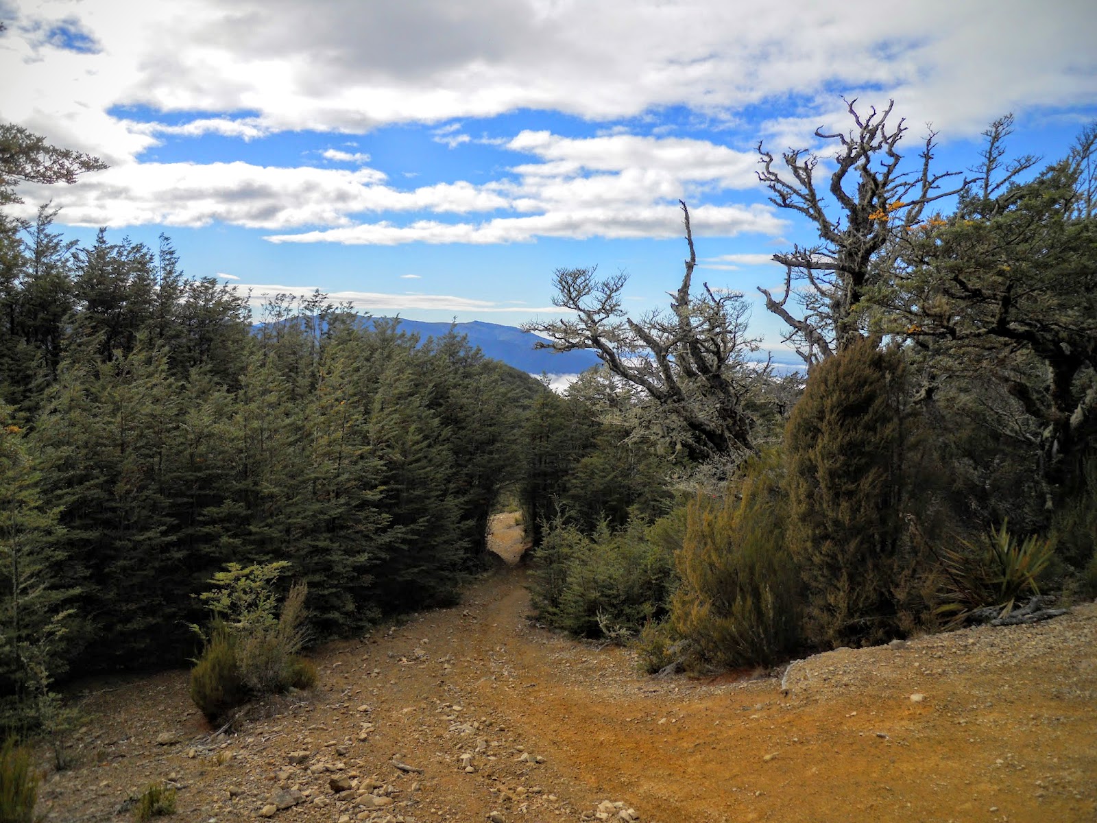
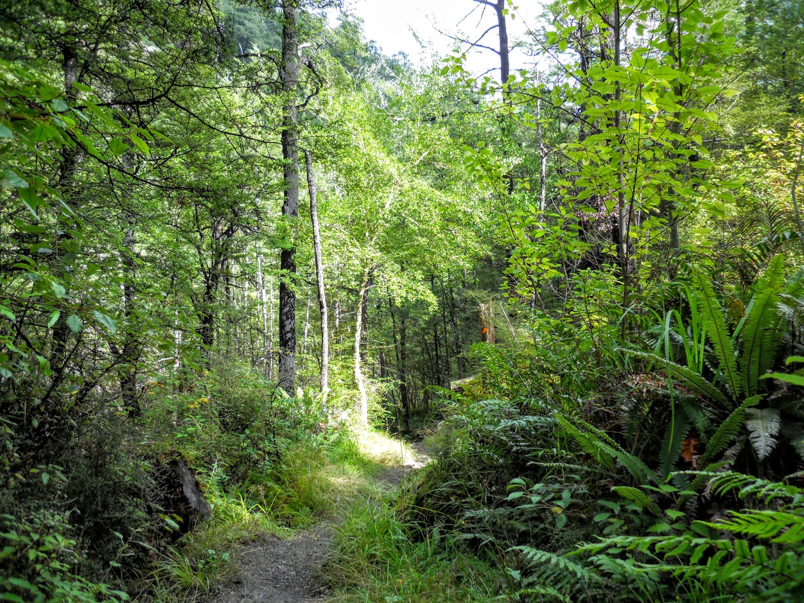
You eventually reach the Bypass Track junction after about 40 minutes of walking, the track heads down one of the spurs from here all the way back to the Glentui Picnic area. It is about 2 hours walk from this point to the car park.
 |
| Blowhard/Bypass track junction |
 |
| Close up of Blowhard Track sign |
 |
| Blowhard Track to Glentui car park |
 |
| Moving down the Bypass Track |
I stopped about 10 minutes down the track for lunch, in the distance you can see the ridge I climbed up earlier in the day. The track goes up the side of the ridge and then follows the crest all the way to the summit.
 |
| Mt Richardson in distance from Bypass Track |
Another area of extensive wind fall, these steep rocky ridge lines are very prone to this sort of damage. Most of the trees have pulled their whole root systems out of the soil during a big wind gust.
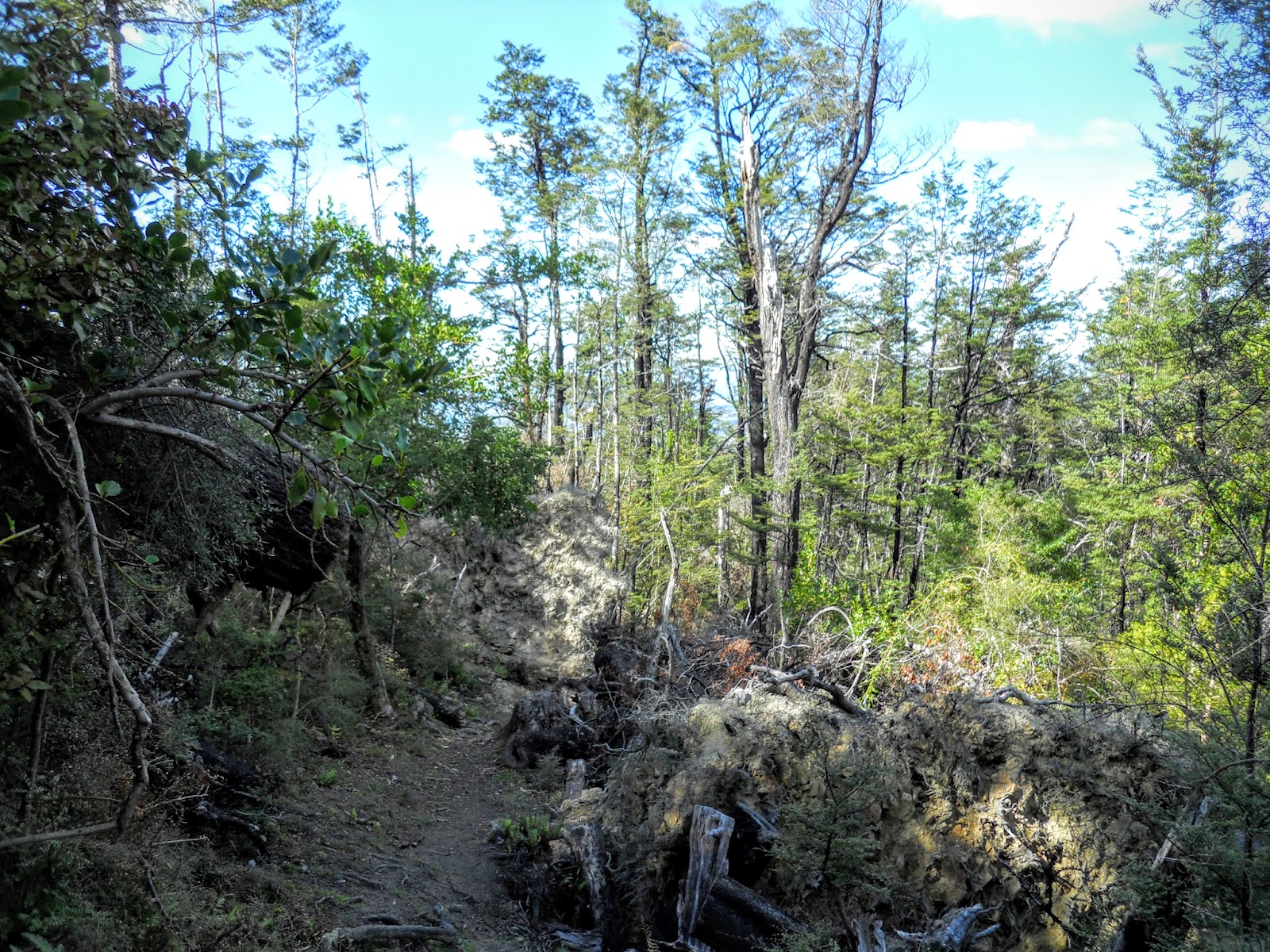 |
| Heavy windfall trees on Bypass Track |
 |
| Steep gradient in mid section of Bypass Track |
This was the largest Black Beech tree I passed all day, it is an impressive example. It is probably 30 meters tall and 2 meters around the trunk, that is big for this sort of tree.
 |
| Bypass Track: large Black Beech tree |
 |
| Ferns and regrowth near Bypass Track end |
 |
| First Bridge on Bypass track |
Just after crossing the first bridge over the Glentui River I was surprised when two deer walked across the track about 20 meters from me. By the time I got my camera out they were long gone. I don't know who was more surprised me or the deer. When you are tramping by yourself you make very little sound so things like this happen quite often.
 |
| Spot where I saw the deer on Bypass Track |
 |
| Second bridge on Bypass Track |
The upper reaches of the Glentui River are very picturesque, you honestly wouldn't think you are only 40 km's away from Christchurch.
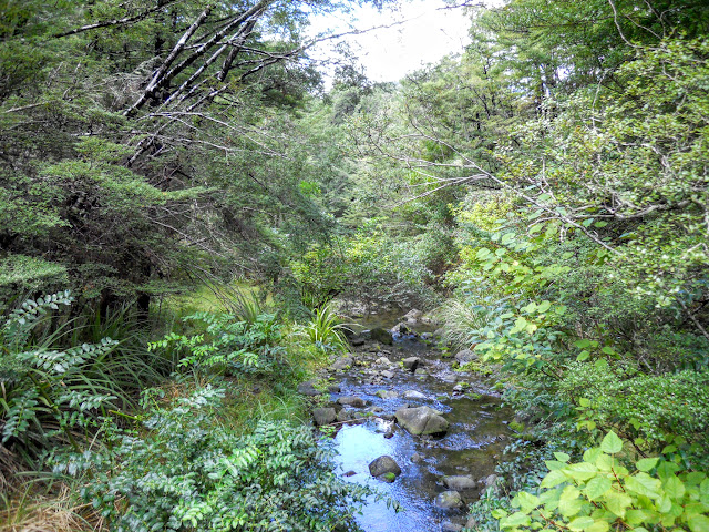 |
Upper Glentui River
|
You connect up with the Mt Richardson Track about 5 minutes walk from the river, from here it is a short walk along the nice benched track back to the car park.
 |
| Back on the Mt Richardson track |
This was a good trip, and another peak from my to do list sorted!
Access:From Christchurch head to
Loburn, take the signposted road to Oxford for about 22
km to the Glentui Bush Road turn-off. The winding, gravel
Glentui Bush Road emerges at the Glentui picnic area after
about 4 km.
Track Times: From Glentui car park, 1.5-2 hours to Blowhard Track, 1 hour along Bypass Track, 1.5 hours to car park: 4-5 hours total
Miscellaneous:Moderately steep tracks in places, no potable water source along any of these tracks, Blowhard track exposed to weather.